Size of this preview: 796 × 600 pixels. Other resolutions: 319 × 240 pixels | 637 × 480 pixels | 1,020 × 768 pixels | 1,280 × 964 pixels | 2,560 × 1,929 pixels | 2,875 × 2,166 pixels.
Original file (2,875 × 2,166 pixels, file size: 7.05 MB, MIME type: image/jpeg)
| This is a file from the Wikimedia Commons. Information from its description page there is shown below. Commons is a freely licensed media file repository. You can help. |
Summary
| Description |
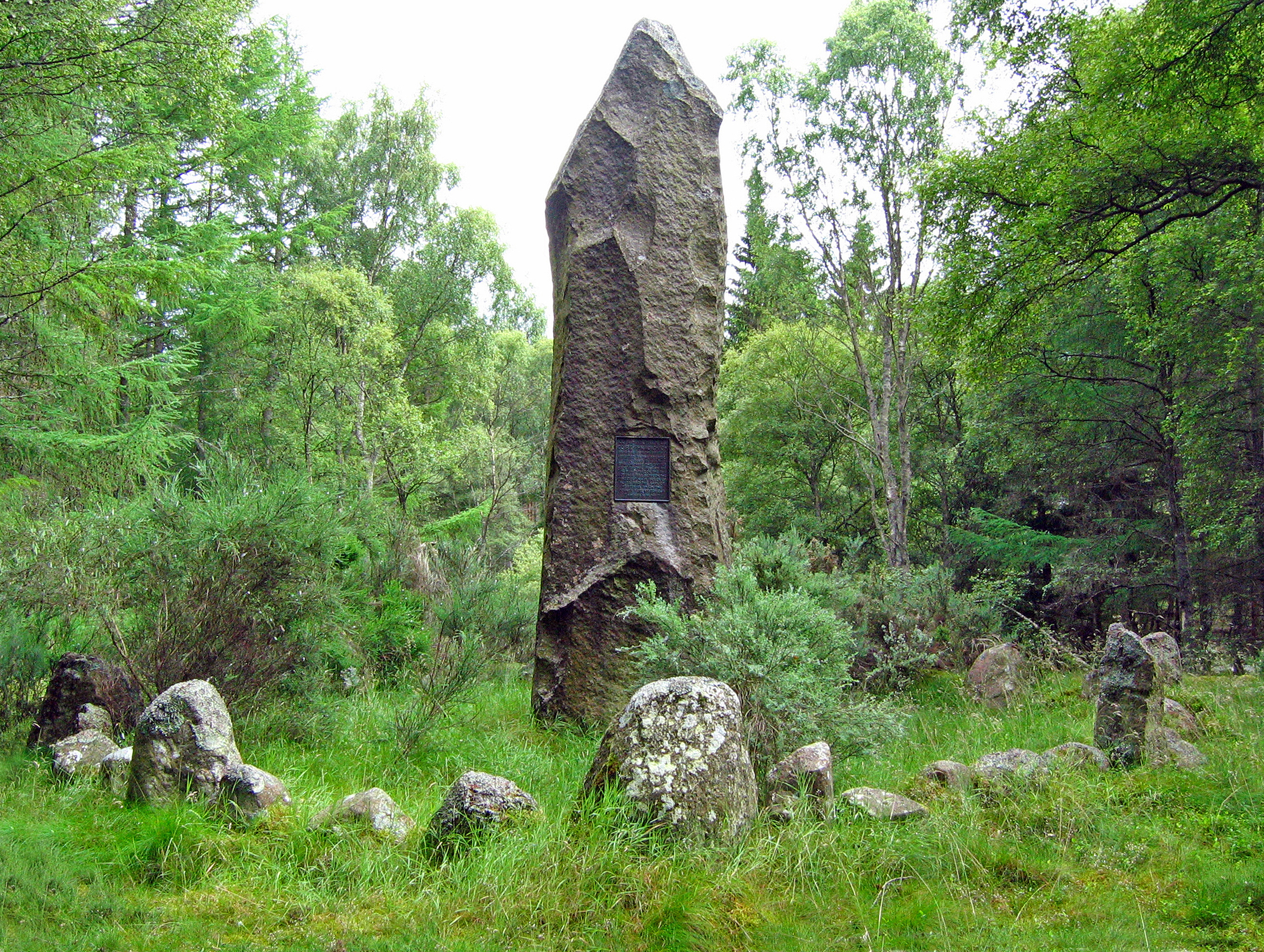
English: Corrichie Burn battle monument A view of the north face showing the stone circle surrounding the monument. |
| Date | |
| Source | From geograph.org.uk |
| Author | Alan Findlay |
| Attribution (required by the license) | Alan Findlay / Corrichie Burn battle monument / |
| Camera location | | View this and other nearby images on: OpenStreetMap |
|---|
_heading:157.00&language=en)
| Object location | | View this and other nearby images on: OpenStreetMap |
|---|
_heading:157.00&language=en)
Licensing

|
This image was taken from the Geograph project collection. See this photograph's page on the Geograph website for the photographer's contact details. The copyright on this image is owned by Alan Findlay and is licensed for reuse under the Creative Commons Attribution-ShareAlike 2.0 license.
|
This file is licensed under the Creative Commons Attribution-Share Alike 2.0 Generic license.
Attribution: Alan Findlay
- You are free:
- to share – to copy, distribute and transmit the work
- to remix – to adapt the work
- Under the following conditions:
- attribution – You must give appropriate credit, provide a link to the license, and indicate if changes were made. You may do so in any reasonable manner, but not in any way that suggests the licensor endorses you or your use.
- share alike – If you remix, transform, or build upon the material, you must distribute your contributions under the same or compatible license as the original.

|
The categories of this image need checking. You can do so here.
|
File history
Click on a date/time to view the file as it appeared at that time.
| Date/Time | Thumbnail | Dimensions | User | Comment | |
|---|---|---|---|---|---|
| current | 18:54, 9 September 2017 | | 2,875 × 2,166 (7.05 MB) | Geograph Update Bot | Higher-resolution version from Geograph. |
| 02:54, 5 March 2011 |  | 630 × 475 (213 KB) | GeographBot | == {{int:filedesc}} == {{Information |description={{en|1=Corrichie Burn battle monument A view of the north face showing the stone circle surrounding the monument.}} |date=2008-07-09 |source=From [http://www.geograph.org.uk/photo/1690091 geograph.org.uk] |
File usage
The following pages on the English Wikipedia use this file (pages on other projects are not listed):
Global file usage
The following other wikis use this file:
- Usage on fr.wikipedia.org
- Usage on it.wikipedia.org