
Size of this preview: 727 × 600 pixels. Other resolutions: 291 × 240 pixels | 582 × 480 pixels | 931 × 768 pixels | 1,241 × 1,024 pixels | 2,482 × 2,048 pixels | 2,673 × 2,206 pixels.
Original file (2,673 × 2,206 pixels, file size: 626 KB, MIME type: image/jpeg)
| This is a file from the Wikimedia Commons. Information from its description page there is shown below. Commons is a freely licensed media file repository. You can help. |
Summary
| Description |
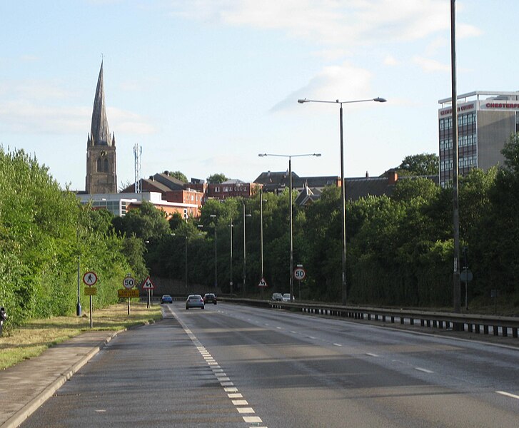
English: A61 road going south past Chesterfield, with the crooked spire visible. |
| Date | |
| Source | Own work |
| Author | Chemical Engineer |
| Camera location | | View this and other nearby images on: OpenStreetMap |
|---|
Licensing
| I, the copyright holder of this work, release this work into the public domain. This applies worldwide. In some countries this may not be legally possible; if so: I grant anyone the right to use this work for any purpose, without any conditions, unless such conditions are required by law. |
File history
Click on a date/time to view the file as it appeared at that time.
| Date/Time | Thumbnail | Dimensions | User | Comment | |
|---|---|---|---|---|---|
| current | 19:47, 7 August 2010 | | 2,673 × 2,206 (626 KB) | Chemical Engineer | {{Information |Description={{en|1=A61 road going south past Chesterfield, with the crooked spire visible.}} |Source={{own}} |Author=Chemical Engineer |Date=2010-08-04 |Permission= |other_versions= }} {{Location dec|53.23815|-1.4 |
File usage
The following pages on the English Wikipedia use this file (pages on other projects are not listed):
Global file usage
The following other wikis use this file:
- Usage on de.wikipedia.org
- Usage on nl.wikipedia.org