Size of this preview: 800 × 532 pixels. Other resolutions: 320 × 213 pixels | 640 × 426 pixels | 1,024 × 681 pixels | 1,280 × 851 pixels | 2,560 × 1,702 pixels | 6,016 × 4,000 pixels.
Original file (6,016 × 4,000 pixels, file size: 5.38 MB, MIME type: image/jpeg)
| This is a file from the Wikimedia Commons. Information from its description page there is shown below. Commons is a freely licensed media file repository. You can help. |
| Camera location | | View this and other nearby images on: OpenStreetMap |
|---|
| Description |
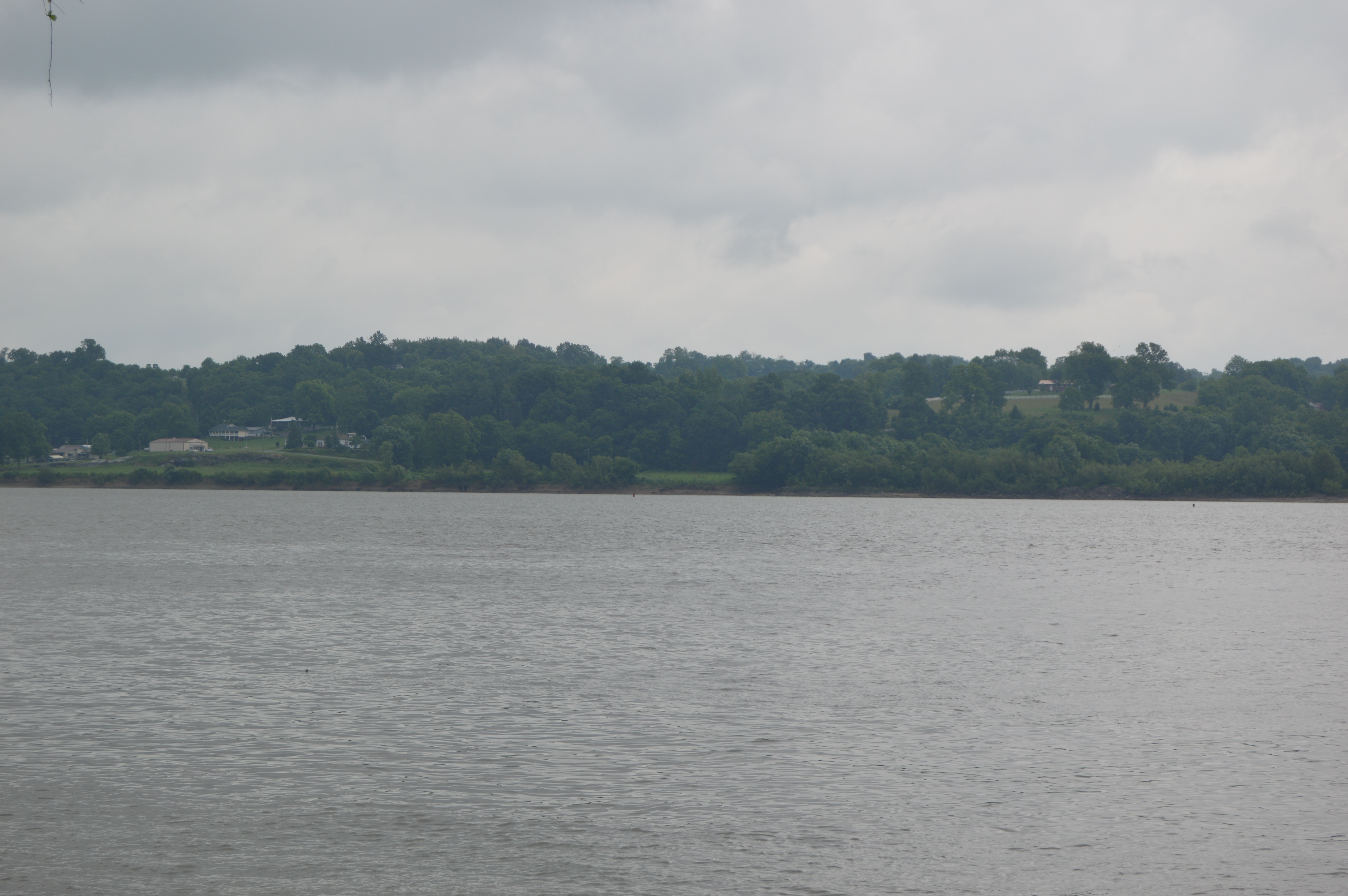
English: Looking across the Ohio River from the old landing at Battery Rock (Hardin County, Illinois) toward Caseyville, Kentucky, United States. |
||
| Date | Taken on 4 June 2016 | ||
| Source | Own work | ||
| Author | Nyttend | ||
| Permission (Reusing this file) |
|
| Annotations | This image is annotated: View the annotations at Commons |

File history
Click on a date/time to view the file as it appeared at that time.
| Date/Time | Thumbnail | Dimensions | User | Comment | |
|---|---|---|---|---|---|
| current | 22:44, 21 June 2016 | | 6,016 × 4,000 (5.38 MB) | Nyttend | {{Location|37|31|47|N|88|4|46|W}} {{Information |Description={{en|Looking across the {{w|Ohio River}} from the old landing at {{w|Battery Rock}} ({{W|Hardin County, Illinois}}) toward {{w|Caseyville, Kentucky|Caseyville}}, {{w|Kentucky}}, {{w|United St... |
File usage
The following pages on the English Wikipedia use this file (pages on other projects are not listed):