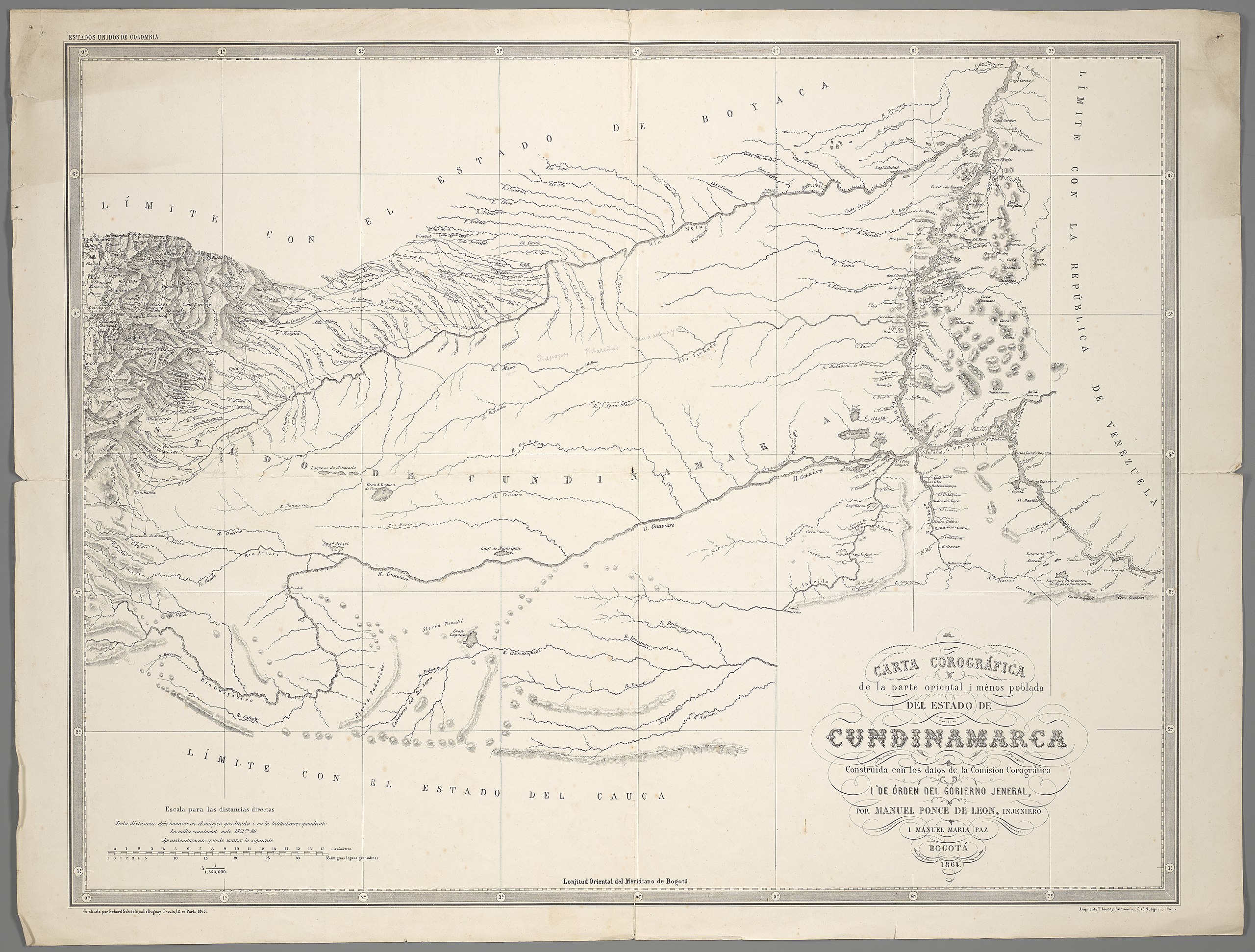
File:Carta Corográfica de la parte oriental i ménos poblada Del Estado De Cundinamarca.jpg

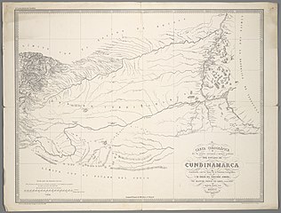
Size of this preview: 790 × 599 pixels. Other resolutions: 316 × 240 pixels | 633 × 480 pixels | 1,012 × 768 pixels | 1,280 × 971 pixels | 2,560 × 1,943 pixels | 8,841 × 6,709 pixels.
Original file (8,841 × 6,709 pixels, file size: 12.47 MB, MIME type: image/jpeg)
| This is a file from the Wikimedia Commons. Information from its description page there is shown below. Commons is a freely licensed media file repository. You can help. |
Summary
| Description |
Deutsch: 1 Kt. : unkolor. (64 x 49 cm). Maßstab 1 : 1 350 000. Koordinaten W 73°51'00"-W 66°44'00"/N 6°39'00"-N 1°52'00". Maßstab in graph. Form (miriámetros, Antiguas leguas granadinas). Titel unten rechts. Maßstab unten links. Oben links: Estados Unidos De Colombia. Relief: Schraffen. Altkarte. |
| Date | |
| Source | Leibniz-Institut für Länderkunde e.V., Leipzig |
| Author | Ponce de León, Manuel ; Paz, Manuel Maria ; Thierry, [?] ; Schieble, Erhard |
Licensing
| This file is made available under the Creative Commons CC0 1.0 Universal Public Domain Dedication. | |
| The person who associated a work with this deed has dedicated the work to the public domain by waiving all of their rights to the work worldwide under copyright law, including all related and neighboring rights, to the extent allowed by law. You can copy, modify, distribute and perform the work, even for commercial purposes, all without asking permission.
|
File history
Click on a date/time to view the file as it appeared at that time.
| Date/Time | Thumbnail | Dimensions | User | Comment | |
|---|---|---|---|---|---|
| current | 12:22, 8 May 2019 | | 8,841 × 6,709 (12.47 MB) | Higgenhorscht | User created page with UploadWizard |
File usage
The following pages on the English Wikipedia use this file (pages on other projects are not listed):
Global file usage
The following other wikis use this file:
- Usage on ar.wikipedia.org
- Usage on es.wikipedia.org
- Usage on fr.wikipedia.org