No higher resolution available.
Cape_Chukotsky_region.PNG (766 × 507 pixels, file size: 788 KB, MIME type: image/png)
| This is a file from the Wikimedia Commons. Information from its description page there is shown below. Commons is a freely licensed media file repository. You can help. |
Summary
| Description |
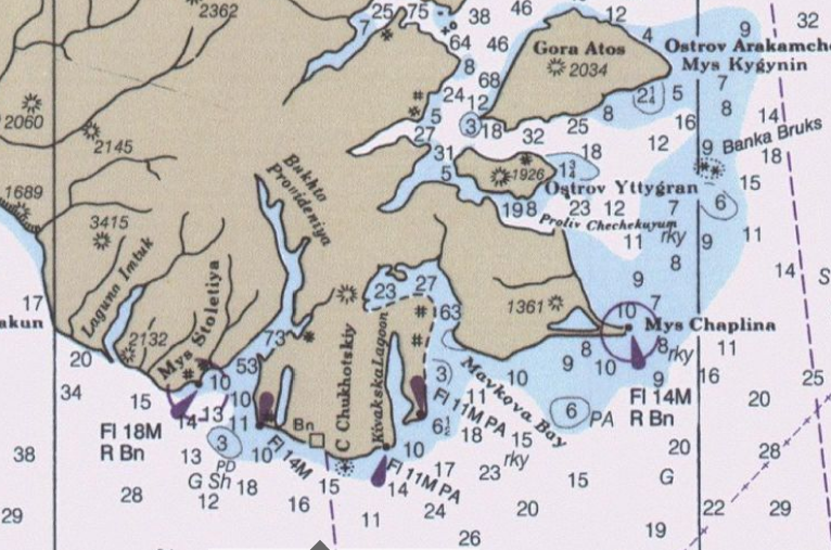
English: detail from Bering Sea nautical Chart |
| Date | |
| Source | Historical Maps and Charts Project http://historicalcharts.noaa.gov/tiled_jpgs_done/zoomifyURLDrivenWebPage.htm?zoomifyImagePath=16006-12-2000 |
| Author | US Office of Coadt Survey, NOAA |
Licensing
This image is in the public domain because it contains materials that originally came from the U.S. National Oceanic and Atmospheric Administration, taken or made as part of an employee's official duties.
|
File history
Click on a date/time to view the file as it appeared at that time.
| Date/Time | Thumbnail | Dimensions | User | Comment | |
|---|---|---|---|---|---|
| current | 18:52, 8 October 2009 | | 766 × 507 (788 KB) | Dankarl | {{Information |Description={{en|1=detail from Bering Sea nautical Chart}} |Source=Historical Maps and Charts Project http://historicalcharts.noaa.gov/tiled_jpgs_done/zoomifyURLDrivenWebPage.htm?zoomifyImagePath=16006-12-2000 |Author=US Office of Coadt Sur |
File usage
No pages on the English Wikipedia use this file (pages on other projects are not listed).