No higher resolution available.
Buittle_Station_-_geograph.org.uk_-_682745.jpg (640 × 480 pixels, file size: 92 KB, MIME type: image/jpeg)
| This is a file from the Wikimedia Commons. Information from its description page there is shown below. Commons is a freely licensed media file repository. You can help. |
Summary
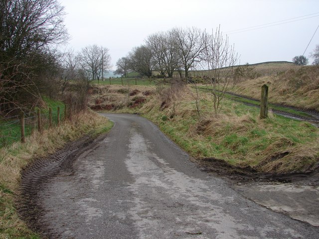
| Description |
English: Buittle Station The Meikle Knox-Netheryett lane bears left though an embankment, once an overbridge on the former Dumfries-Stranraer railway (1859-1965). The track on the right leads up to the site of Buittle Station, closed 1894 due to doubling of the line. All that is left is the rubble of the railway cottages - demolished 1960's. |
| Date | |
| Source | From geograph.org.uk |
| Author | Chris Newman |
| Attribution (required by the license) | Chris Newman / Buittle Station / |
| Camera location | | View this and other nearby images on: OpenStreetMap |
|---|
_heading:67.00&language=en)
| Object location | | View this and other nearby images on: OpenStreetMap |
|---|
_heading:67.00&language=en)
Licensing

|
This image was taken from the Geograph project collection. See this photograph's page on the Geograph website for the photographer's contact details. The copyright on this image is owned by Chris Newman and is licensed for reuse under the Creative Commons Attribution-ShareAlike 2.0 license.
|
This file is licensed under the Creative Commons Attribution-Share Alike 2.0 Generic license.
Attribution: Chris Newman
- You are free:
- to share – to copy, distribute and transmit the work
- to remix – to adapt the work
- Under the following conditions:
- attribution – You must give appropriate credit, provide a link to the license, and indicate if changes were made. You may do so in any reasonable manner, but not in any way that suggests the licensor endorses you or your use.
- share alike – If you remix, transform, or build upon the material, you must distribute your contributions under the same or compatible license as the original.
File history
Click on a date/time to view the file as it appeared at that time.
| Date/Time | Thumbnail | Dimensions | User | Comment | |
|---|---|---|---|---|---|
| current | 01:06, 8 February 2011 | | 640 × 480 (92 KB) | GeographBot | == {{int:filedesc}} == {{Information |description={{en|1=Buittle Station The Meikle Knox-Netheryett lane bears left though an embankment, once an overbridge on the former Dumfries-Stranraer railway (1859-1965). The track on the right leads up to the site |
File usage
The following pages on the English Wikipedia use this file (pages on other projects are not listed):
Global file usage
The following other wikis use this file:
- Usage on www.wikidata.org