File:Boggs Member (Middle Pennsylvanian; Rock Cut, Muskingum County, Ohio, USA) 1 (37351496202).jpg
_1_(37351496202).jpg)
_1_(37351496202).jpg&action=edit&redlink=1)
Original file (4,000 × 3,000 pixels, file size: 5.48 MB, MIME type: image/jpeg)
| This is a file from the Wikimedia Commons. Information from its description page there is shown below. Commons is a freely licensed media file repository. You can help. |
_1_(37351496202).jpg)
Summary
| Description |
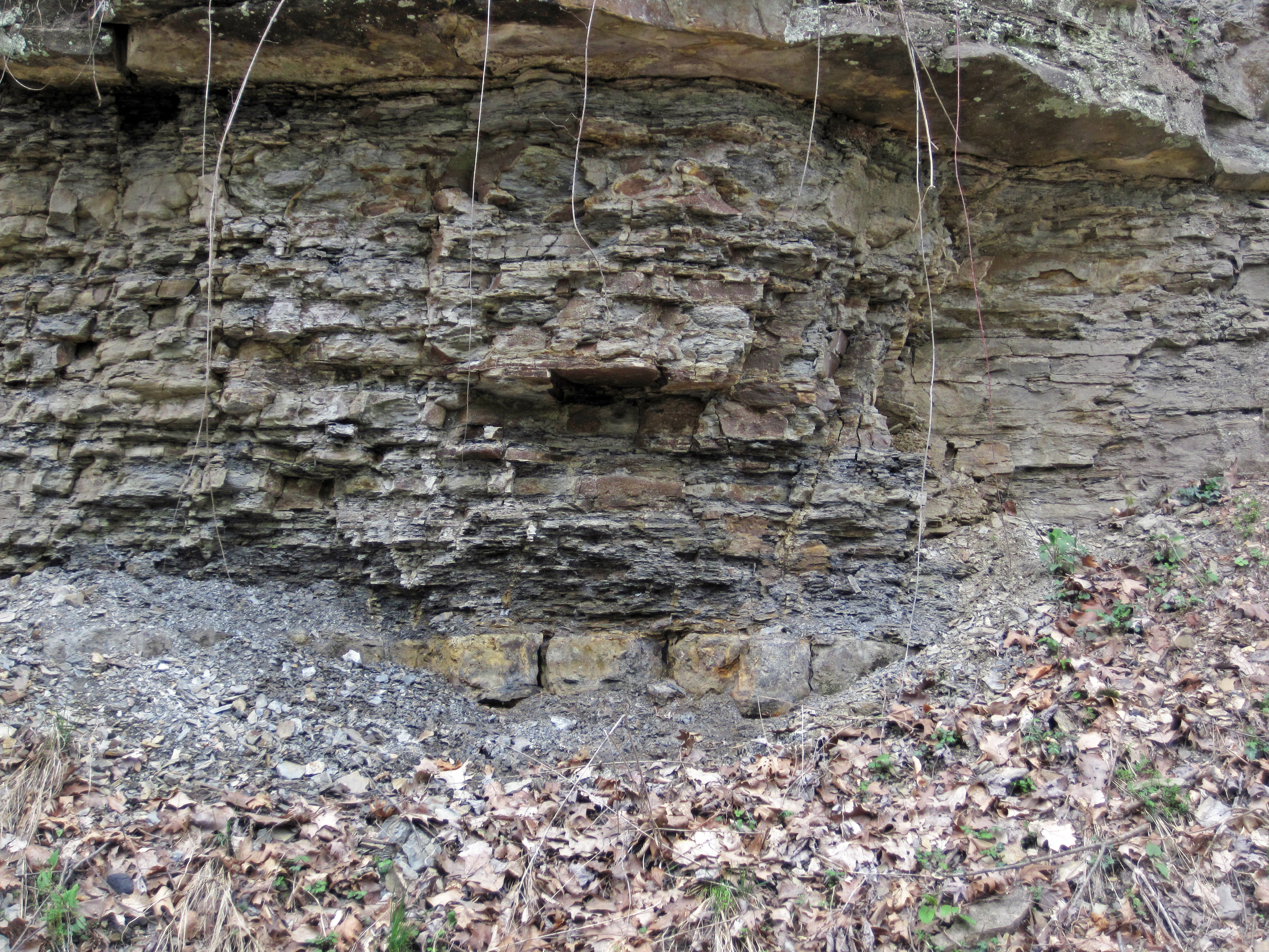
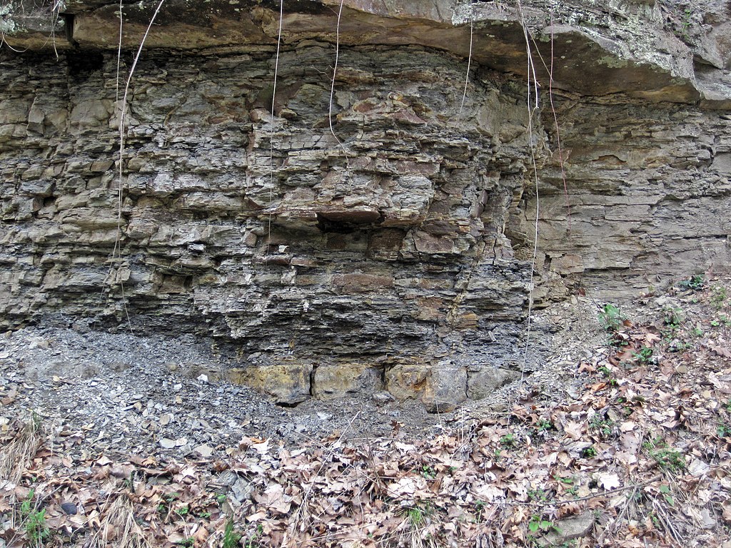
The Pottsville Group is a Pennsylvanian-aged cyclothemic succession containing nonmarine shales, marine shales, siltstones, sandstones, coals, marine limestones, and chert ("flint"). The lower Pottsville dates to the late Early Pennsylvanian. The upper part dates to the early Middle Pennsylvanian. The Lower-Middle Pennsylvanian boundary is apparently somewhere near the Boggs Limestone horizon (?). The ledge-like unit exposed just above the leaf-covered talus pile in the above photo is the Boggs Member, a relatively thin stratigraphic interval in the Pottsville Group. It typically consists of marine fossiliferous limestones, dominated by brachiopods and crinoid ossicles. Significant lateral and vertical lithologic variation is present - the Boggs interval ranges from being a fossiliferous limestone to an intraclastic limestone to a chert to a dolostone. In places, it has a relatively high component of disseminated pyrite. In other places, it is relatively rich in black manganese oxide(s). Minerals observed in the Boggs Limestone interval: calcite, dolomite, glauconite, goethite, gypsum, limonite, pyrite, sphalerite, turgite, vivianite, wad. At this site, the Boggs is principally a ferruginous fossiliferous chert/flint. The fossils and fossil fragments show up as light-colored specks in the rock (see: <a href="https://www.flickr.com/photos/jsjgeology/31215514761">www.flickr.com/photos/jsjgeology/31215514761</a>). This is the first locality where I ever observed the Boggs Member - it's a scrappy exposure for Boggs, although the site is excellent for seeing supra-Boggs stratigraphy. Blocks of ferruginous flint derived from the Boggs is scattered about as talus - this is one of two spots that have Boggs outcrop. Stratigraphy: Lower Mercer Limestone & Boggs Member, Pottsville Group, lower Atokan Stage, lower Middle Pennsylvanian Locality: Rock Cut railroad cut - outcrop along the southern side of Ohio Central Railroad tracks (west of milepost 134), ~southwest of Copeland Island & south-southeast of the town of Dresden, northern Muskingum County, eastern Ohio, USA |
| Date | |
| Source | Boggs Member (Middle Pennsylvanian; Rock Cut, Muskingum County, Ohio, USA) 1 |
| Author | James St. John |
Licensing
- You are free:
- to share – to copy, distribute and transmit the work
- to remix – to adapt the work
- Under the following conditions:
- attribution – You must give appropriate credit, provide a link to the license, and indicate if changes were made. You may do so in any reasonable manner, but not in any way that suggests the licensor endorses you or your use.
| This image was originally posted to Flickr by James St. John at https://flickr.com/photos/47445767@N05/37351496202 (archive). It was reviewed on 8 October 2019 by FlickreviewR 2 and was confirmed to be licensed under the terms of the cc-by-2.0. |
File history
Click on a date/time to view the file as it appeared at that time.
| Date/Time | Thumbnail | Dimensions | User | Comment | |
|---|---|---|---|---|---|
| current | 12:08, 8 October 2019 | | 4,000 × 3,000 (5.48 MB) | Ser Amantio di Nicolao | Transferred from Flickr via #flickr2commons |
File usage
Global file usage
The following other wikis use this file:
- Usage on pt.wikipedia.org
_1_(37351496202).jpg)