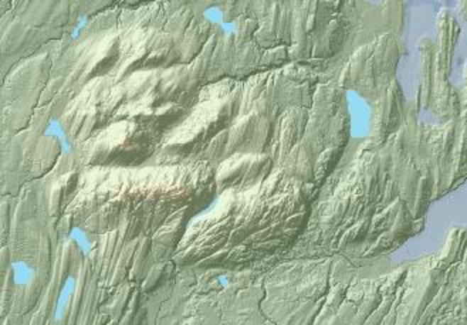
Blue_Hills_(WA)_psdem.jpg (658 × 458 pixels, file size: 45 KB, MIME type: image/jpeg)
File history
Click on a date/time to view the file as it appeared at that time.
| Date/Time | Thumbnail | Dimensions | User | Comment | |
|---|---|---|---|---|---|
| current | 21:28, 24 October 2014 |  | 658 × 458 (45 KB) | J. Johnson | {{Information |Description ={{en|1=Lidar-based shaded-relief image of the Blue Hills, Kitsap County, Washington, and adjacent areas, including part of City of Bremerton.}} |Source =Eexcerpted from data assembled by David Finlayson et al. and... |
File usage
The following page uses this file:
