
Size of this PNG preview of this SVG file: 600 × 400 pixels. Other resolutions: 320 × 213 pixels | 640 × 427 pixels | 1,024 × 683 pixels | 1,280 × 853 pixels | 2,560 × 1,707 pixels.
Original file (SVG file, nominally 600 × 400 pixels, file size: 79 KB)
| This is a file from the Wikimedia Commons. Information from its description page there is shown below. Commons is a freely licensed media file repository. You can help. |
Summary
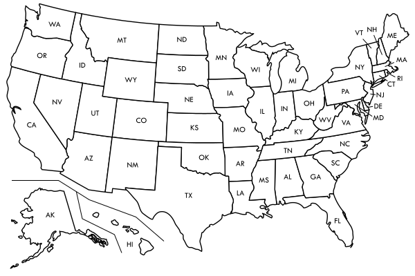
| Description | Labelled version of Image:Blank US map borders.svg |
| Date | |
| Source | self-made, based on CIA map found at http://www.lib.utexas.edu/maps/united_states/usa_ref01.pdf |
| Author | Kaboom88 |
Licensing
| I, the copyright holder of this work, release this work into the public domain. This applies worldwide. In some countries this may not be legally possible; if so: I grant anyone the right to use this work for any purpose, without any conditions, unless such conditions are required by law. |
File history
Click on a date/time to view the file as it appeared at that time.
| Date/Time | Thumbnail | Dimensions | User | Comment | |
|---|---|---|---|---|---|
| current | 15:45, 27 April 2018 | | 600 × 400 (79 KB) | Colin Fredericks | Should be visually identical to the original. In the source code, the states have been alphabetized, and css classes have been added so that it's easier to color specific regions (as per US census regions and some others). |
| 06:26, 29 October 2007 |  | 600 × 400 (85 KB) | Kaboom88~commonswiki | fixed hawaii and alaska | |
| 06:03, 27 October 2007 |  | 600 × 400 (83 KB) | Kaboom88~commonswiki | ||
| 05:54, 27 October 2007 |  | 601 × 401 (82 KB) | Kaboom88~commonswiki |
File usage
The following pages on the English Wikipedia use this file (pages on other projects are not listed):