
Size of this PNG preview of this SVG file: 800 × 533 pixels. Other resolutions: 320 × 213 pixels | 640 × 427 pixels | 1,024 × 683 pixels | 1,280 × 853 pixels | 2,560 × 1,707 pixels | 2,100 × 1,400 pixels.
Original file (SVG file, nominally 2,100 × 1,400 pixels, file size: 447 KB)
| This is a file from the Wikimedia Commons. Information from its description page there is shown below. Commons is a freely licensed media file repository. You can help. |
Summary
| Description |
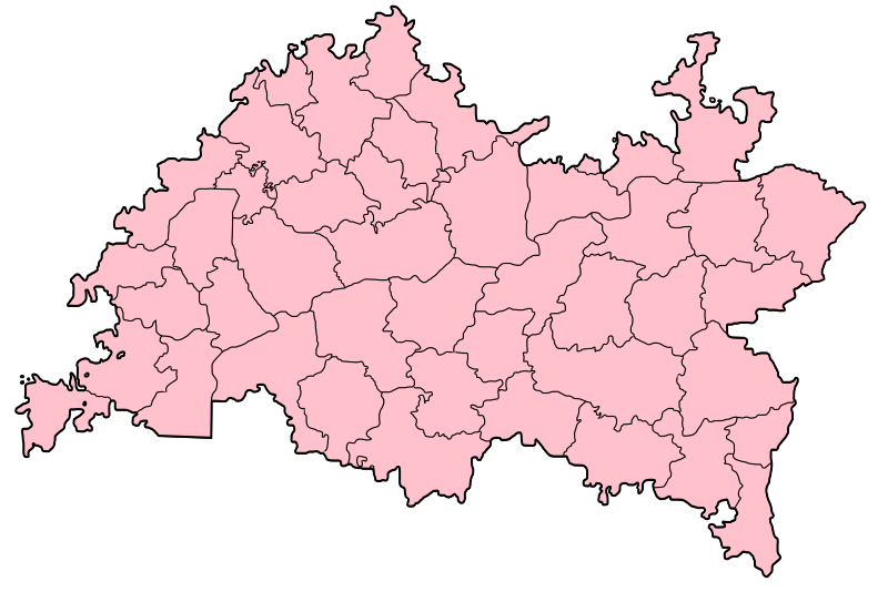
Русский: Позиционная карта Республики Татарстан |
| Date | |
| Source |
This W3C-unspecified vector image was created with Inkscape . |
| Author | Untifler |
| Other versions |
[]
|


.svg)
Licensing
| I, the copyright holder of this work, release this work into the public domain. This applies worldwide. In some countries this may not be legally possible; if so: I grant anyone the right to use this work for any purpose, without any conditions, unless such conditions are required by law. |
File history
Click on a date/time to view the file as it appeared at that time.
| Date/Time | Thumbnail | Dimensions | User | Comment | |
|---|---|---|---|---|---|
| current | 06:49, 19 February 2010 | | 2,100 × 1,400 (447 KB) | Виктор В | Reverted to version as of 15:47, 3 February 2007 (Вернул как было, загрузил новый файл) |
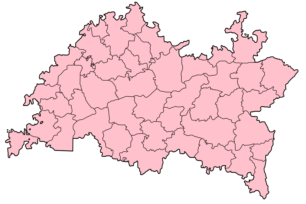
| 09:35, 1 November 2009 |  | 2,100 × 1,400 (506 KB) | Виктор В | standard color + rivers + borders | |
| 15:47, 3 February 2007 |  | 2,100 × 1,400 (447 KB) | Untifler | Category:Locator maps of Tatarstan {{Inkscape}} |
File usage
The following pages on the English Wikipedia use this file (pages on other projects are not listed):
Global file usage
The following other wikis use this file:
- Usage on de.wikipedia.org
- Usage on mk.wikipedia.org
- Usage on nn.wikipedia.org
- Usage on pl.wikipedia.org
- Usage on pt.wikipedia.org
- Usage on ru.wikipedia.org
- Usage on sr.wikipedia.org
- Usage on zh.wikipedia.org