
Size of this PNG preview of this SVG file: 588 × 278 pixels. Other resolutions: 320 × 151 pixels | 640 × 303 pixels | 1,024 × 484 pixels | 1,280 × 605 pixels | 2,560 × 1,210 pixels.
Original file (SVG file, nominally 588 × 278 pixels, file size: 145 KB)
| This is a file from the Wikimedia Commons. Information from its description page there is shown below. Commons is a freely licensed media file repository. You can help. |
Summary
| Description |
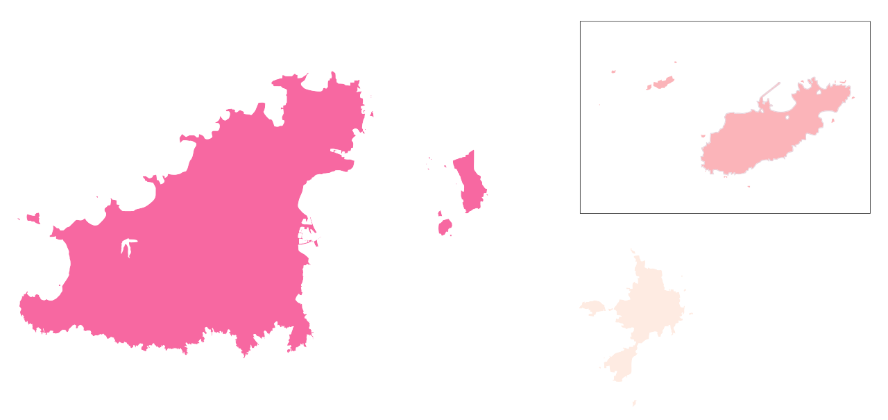
English: Map showing the spread of coronavirus 2019 (COVID-19) in the Bailiwick of Guernsey |
| Date | |
| Source |
Own work This vector image includes elements that have been taken or adapted from this file: This vector image includes elements that have been taken or adapted from this file: |
| Author | Formulaonewiki |
Licensing
This file is licensed under the Creative Commons Attribution-Share Alike 2.5 Generic license.
- You are free:
- to share – to copy, distribute and transmit the work
- to remix – to adapt the work
- Under the following conditions:
- attribution – You must give appropriate credit, provide a link to the license, and indicate if changes were made. You may do so in any reasonable manner, but not in any way that suggests the licensor endorses you or your use.
- share alike – If you remix, transform, or build upon the material, you must distribute your contributions under the same or compatible license as the original.
File history
Click on a date/time to view the file as it appeared at that time.
| Date/Time | Thumbnail | Dimensions | User | Comment | |
|---|---|---|---|---|---|
| current | 12:43, 2 August 2021 | | 588 × 278 (145 KB) | Sami270 | Update Sark and Alderney |
| 16:22, 6 February 2021 |  | 588 × 278 (97 KB) | Ave | replace border | |
| 16:20, 6 February 2021 |  | 588 × 278 (96 KB) | Ave | update following identification of case in alderney | |
| 11:44, 24 May 2020 |  | 588 × 278 (97 KB) | Ave | ce | |
| 12:46, 13 April 2020 |  | 588 × 278 (97 KB) | Ave | Include herm in jurisdiction of Guernsey; adjust scale | |
| 17:14, 10 April 2020 |  | 588 × 278 (97 KB) | Ave | update 10 april 2020 | |
| 12:07, 3 April 2020 |  | 588 × 278 (97 KB) | Ave | update 3 april | |
| 15:16, 2 April 2020 |  | 588 × 278 (97 KB) | Ave | corrected colour; black rectangle | |
| 14:04, 2 April 2020 |  | 588 × 278 (97 KB) | Ave | update 2 april | |
| 12:47, 31 March 2020 |  | 730 × 545 (83 KB) | Ave | tweaks |
File usage
The following pages on the English Wikipedia use this file (pages on other projects are not listed):
Global file usage
The following other wikis use this file:
- Usage on id.wikipedia.org
- Usage on it.wikipedia.org
- Usage on ko.wikipedia.org
- Usage on uk.wikipedia.org
- Usage on zh.wikipedia.org