
Size of this preview: 800 × 600 pixels. Other resolutions: 320 × 240 pixels | 640 × 480 pixels | 1,024 × 768 pixels | 1,280 × 960 pixels | 2,560 × 1,920 pixels | 3,648 × 2,736 pixels.
Original file (3,648 × 2,736 pixels, file size: 3.22 MB, MIME type: image/jpeg)
| This is a file from the Wikimedia Commons. Information from its description page there is shown below. Commons is a freely licensed media file repository. You can help. |
Summary
| Description |
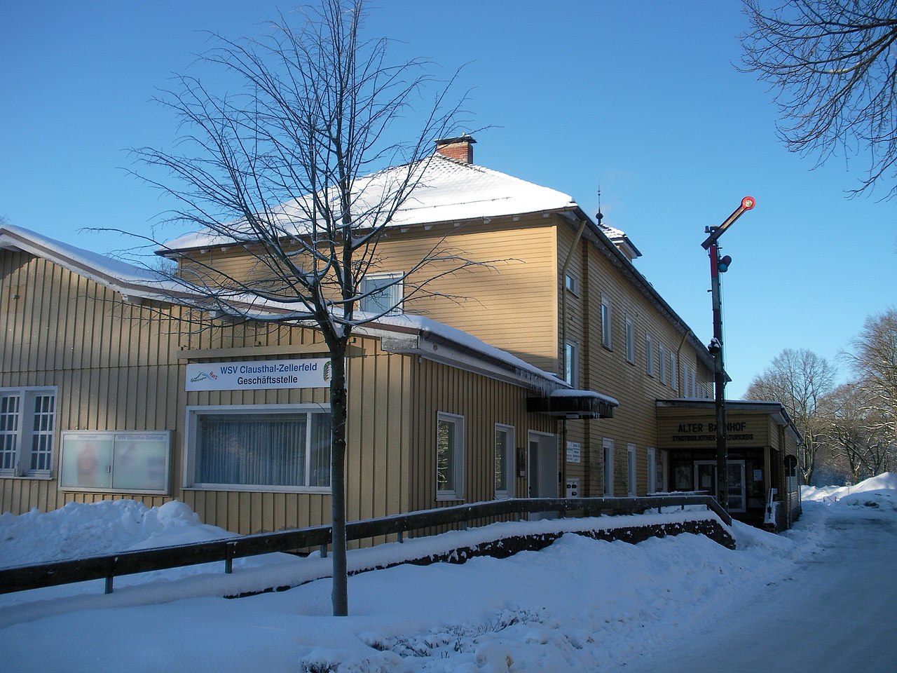
Deutsch: Clausthal, ehemaliger Bahnhof |
| Date | |
| Source | Own work (Original text: Eigene Aufnahme) |
| Author | Florian Hoffmann |
| Camera location | | View this and other nearby images on: OpenStreetMap |
|---|
Licensing

|
Permission is granted to copy, distribute and/or modify this document under the terms of the GNU Free Documentation License, Version 1.2 or any later version published by the Free Software Foundation; with no Invariant Sections, no Front-Cover Texts, and no Back-Cover Texts. A copy of the license is included in the section entitled GNU Free Documentation License. |
This file is licensed under the Creative Commons Attribution-Share Alike 3.0 Unported license.
- You are free:
- to share – to copy, distribute and transmit the work
- to remix – to adapt the work
- Under the following conditions:
- attribution – You must give appropriate credit, provide a link to the license, and indicate if changes were made. You may do so in any reasonable manner, but not in any way that suggests the licensor endorses you or your use.
- share alike – If you remix, transform, or build upon the material, you must distribute your contributions under the same or compatible license as the original.
This file is licensed under the Creative Commons Attribution-Share Alike 3.0 Germany license.
- You are free:
- to share – to copy, distribute and transmit the work
- to remix – to adapt the work
- Under the following conditions:
- attribution – You must give appropriate credit, provide a link to the license, and indicate if changes were made. You may do so in any reasonable manner, but not in any way that suggests the licensor endorses you or your use.
- share alike – If you remix, transform, or build upon the material, you must distribute your contributions under the same or compatible license as the original.

Original upload log
Transferred from de.wikipedia to Commons by Wdwdbot using CommonsHelper.
The original description page was here. All following user names refer to de.wikipedia.
- 2011-01-30 12:20 Katanga 3648×2736× (3372476 bytes) {{Information |Beschreibung = Clausthal, ehemaliger Bahnhof |Quelle = Eigene Aufnahme |Urheber = Florian Hoffmann |Datum = 30.1.2011 |Genehmigung = |Andere Versionen = |Anmerkungen = }}
File history
Click on a date/time to view the file as it appeared at that time.
| Date/Time | Thumbnail | Dimensions | User | Comment | |
|---|---|---|---|---|---|
| current | 03:30, 25 November 2012 | | 3,648 × 2,736 (3.22 MB) | File Upload Bot (Magnus Manske) | Transfered from de.wikipedia by User:wdwdbot using CommonsHelper |
File usage
The following pages on the English Wikipedia use this file (pages on other projects are not listed):
Global file usage
The following other wikis use this file:
- Usage on azb.wikipedia.org
- Usage on ca.wikipedia.org
- Usage on de.wikipedia.org
- Usage on es.wikipedia.org
- Usage on et.wikipedia.org
- Usage on tr.wikipedia.org