Size of this preview: 800 × 520 pixels. Other resolutions: 320 × 208 pixels | 640 × 416 pixels | 1,024 × 666 pixels | 1,280 × 832 pixels | 1,784 × 1,160 pixels.
Original file (1,784 × 1,160 pixels, file size: 1.17 MB, MIME type: image/jpeg)
| This is a file from the Wikimedia Commons. Information from its description page there is shown below. Commons is a freely licensed media file repository. You can help. |
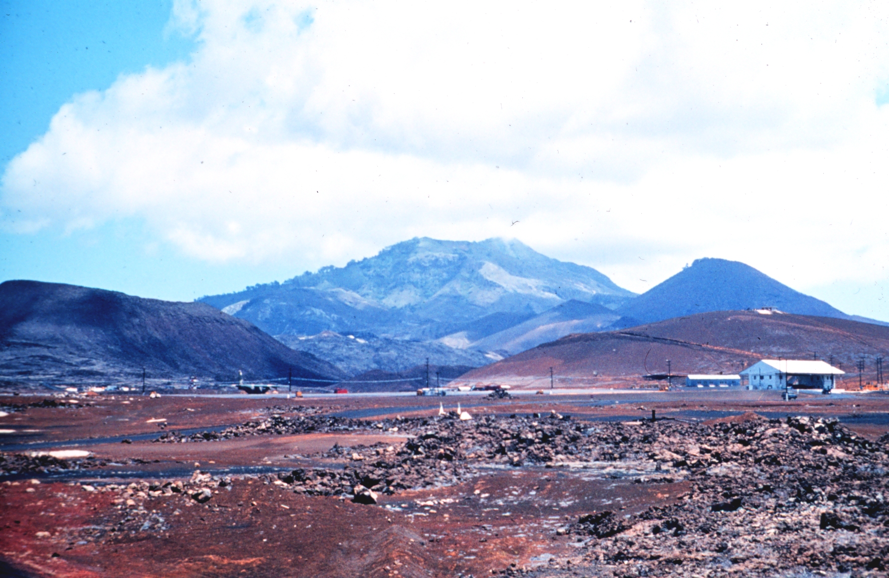
| Description | Station Number 055, Ascension Island, UK | |||
| Source | Image courtesy of NOAA. http://www.photolib.noaa.gov/htmls/geod0797.htm, geod0797, NOAA's Geodesy Collection | |||
| Author | NOAA | |||
| Permission (Reusing this file) |
|
File history
Click on a date/time to view the file as it appeared at that time.
| Date/Time | Thumbnail | Dimensions | User | Comment | |
|---|---|---|---|---|---|
| current | 16:42, 28 October 2008 | | 1,784 × 1,160 (1.17 MB) | RaviC | == Copyright status == {{PD-USGov-NOAA}} == Source == Image courtesy of NOAA. http://www.photolib.noaa.gov/htmls/geod0797.htm <!--{{ImageUpload|basic}}--> |
File usage
The following pages on the English Wikipedia use this file (pages on other projects are not listed):
Global file usage
The following other wikis use this file:
- Usage on af.wikipedia.org
- Usage on da.wikipedia.org
- Usage on hu.wikipedia.org
- Usage on nl.wikipedia.org
- Usage on pl.wikipedia.org
- Usage on sv.wikipedia.org