Size of this preview: 776 × 600 pixels. Other resolutions: 311 × 240 pixels | 621 × 480 pixels | 994 × 768 pixels | 1,056 × 816 pixels.
Original file (1,056 × 816 pixels, file size: 25 KB, MIME type: image/png)
| This is a file from the Wikimedia Commons. Information from its description page there is shown below. Commons is a freely licensed media file repository. You can help. |

|
File:Map of region of Abruzzo, Italy, with provinces-it.svg is a vector version of this file. It should be used in place of this PNG file when not inferior.
File:Abruzzo Provinces.png → File:Map of region of Abruzzo, Italy, with provinces-it.svg
For more information, see Help:SVG. |
 |
Summary
| Description |
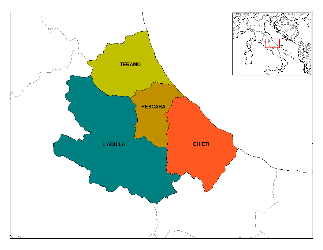
English: Map of the provinces of the Abruzzo region of Italy. Created by Rarelibra for public domain use. Created using MapInfo Professional v7.5 and various mapping resources. |
| Source | en:User:Rarelibra |
| Author | en:User:Rarelibra |
| Other versions |
  |
Licensing
| |
This work has been released into the public domain by its author, Rarelibra, at the English Wikipedia project. This applies worldwide. In case this is not legally possible: |
File history
Click on a date/time to view the file as it appeared at that time.
| Date/Time | Thumbnail | Dimensions | User | Comment | |
|---|---|---|---|---|---|
| current | 10:54, 1 May 2006 | | 1,056 × 816 (25 KB) | Mortadelo2005 | Author: en:User:Rarelibra Link: http://en.wikipedia.org/wiki/Image:Abruzzo_Provinces.png Category:Maps of Italy |
File usage
The following pages on the English Wikipedia use this file (pages on other projects are not listed):
Global file usage
The following other wikis use this file:
- Usage on ast.wikipedia.org
- Usage on ca.wikipedia.org
- Usage on es.wikipedia.org
- Usage on es.wikiversity.org
- Usage on vi.wikipedia.org