No higher resolution available.
1720Norge_Hordaland_Ryfylke.jpg (413 × 484 pixels, file size: 102 KB, MIME type: image/jpeg)
| This is a file from the Wikimedia Commons. Information from its description page there is shown below. Commons is a freely licensed media file repository. You can help. |
Summary
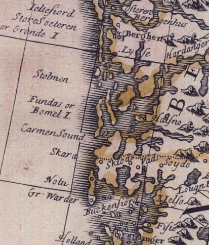
| Description |
English: Cropped part of Norway-map, showing coastal parts of Hordaland and Rogaland. |
| Date | |
| Source | Unknown source |
| Author | Unknown author |
Licensing
|
This work is in the public domain in its country of origin and other countries and areas where the copyright term is the author's life plus 100 years or fewer. | |
| This file has been identified as being free of known restrictions under copyright law, including all related and neighboring rights. | |
File history
Click on a date/time to view the file as it appeared at that time.
| Date/Time | Thumbnail | Dimensions | User | Comment | |
|---|---|---|---|---|---|
| current | 23:49, 5 May 2009 | | 413 × 484 (102 KB) | Gabagool | {{Information |Description={{en|1=Cropped part of Norway-map, showing coastal parts of Hordaland and Rogaland.}} |Source=unknown |Author=unknown |Date=1720 |Permission= |other_versions= }} <!--{{ImageUpload|full}}--> |
File usage
The following pages on the English Wikipedia use this file (pages on other projects are not listed):
Global file usage
The following other wikis use this file: