Table Top Mountain is a mountain in the city and borough of Juneau, Alaska, United States. It is a peak of the Boundary Ranges, located on Douglas Island 2 miles (3.2 km) northeast of Cropley Lake[2] and 3.5 miles (5.6 km) west of the city of Juneau.
| Table Top Mountain | |
|---|---|
 East aspect seen from Juneau | |
| Highest point | |
| Elevation | 3,182 ft (970 m)[1] |
| Prominence | 1,181 ft (360 m)[1] |
| Parent peak | Mount Bradley (Mount Jumbo)[1] |
| Coordinates | 58°17′32″N 134°30′05″W / 58.29222°N 134.50139°W |
| Geography | |
 Table Top Mountain Location in Alaska | |
| Location | Juneau, Alaska, United States |
| Parent range | Boundary Ranges |
| Topo map | USGS Juneau B-2 |
The United States Geological Survey named the mountain in 1962, and it was entered into the Survey's Geographic Names Information System on March 31, 1981.[3]
Climate edit
Based on the Köppen climate classification, Table Top Mountain has a subarctic climate with cold, snowy winters, and mild summers.[4] Weather systems coming off the Gulf of Alaska are forced upwards by the Boundary Ranges (orographic lift), causing heavy precipitation in the form of rainfall and snowfall. Temperatures can drop below −20 °C with wind chill factors below −30 °C. The month of July offers the most favorable weather for viewing and climbing Table Top Mountain.
See also edit
References edit
- ^ a b c "Table Top Mountain - 3,182' Alaska". listsofjohn.com. Retrieved 2020-04-03.
- ^ USGS GNIS Feature Detail Report: Cropley Lake
- ^ USGS GNIS Feature Detail Report: Table Top Mountain
- ^ Peel, M. C.; Finlayson, B. L.; McMahon, T. A. (2007). "Updated world map of the Köppen−Geiger climate classification". Hydrol. Earth Syst. Sci. 11. ISSN 1027-5606.
Gallery edit
-
 Table Top (left) from Juneau
 -
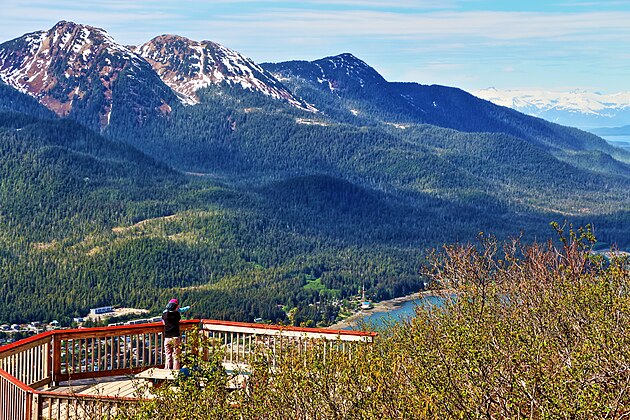 Table Top in upper left corner


External links edit
- "Preliminary Geologic and Metamorphic-Isograd Map of the Juneau B-2 Quadrangle, Alaska" (PDF). (5.4 MB)
- Weather forecast: Table Top Mountain
This article about a location in the City and Borough of Juneau, Alaska is a stub. You can help Wikipedia by expanding it. |