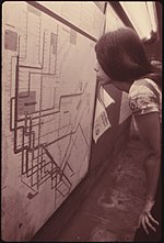
Many transit maps for the New York City Subway have been designed since the subway's inception in 1904. Because the subway was originally built by three separate companies, an official map for all subway lines was not created until 1940, when the three companies were consolidated under a single operator. Since then, the official map has undergone several complete revisions, with intervening periods of comparative stability. The current iteration of the New York City Subway map dates from a design first published in 1979. The official map has evolved gradually under the control of the Marketing and Corporate Communications Department of the Metropolitan Transportation Authority (MTA). The 1979 design was created by the MTA Subway Map Committee, chaired by John Tauranac, which outsourced the graphic design of the map to Michael Hertz Associates.
Recently selected: New Mexico Rail Runner Express - Nevada-California-Oregon Railway Passenger Station - Nationaltheatret (station)
