U.S. Route 33 (US 33) is part of the United States Numbered Highway System that runs from Richmond, Virginia, to Elkhart of the US state of Indiana. In Indiana, it is a state road that enters the state at the Ohio state line between Willshire, Ohio, and Pleasant Mills, Indiana. The 106.217 miles (170.940 km) of US 33 that lie within Indiana serve as a major conduit. All of the highway is listed on the National Highway System. Various sections are rural two-lane highway, urbanized four-lane divided expressway and the Lincoln Highway. The northernmost community along the highway is Elkhart. The highway ends at an interchange in southern Elkhart after serving the northeastern region of Indiana. US 33 passes through farm fields and urban areas.
U.S. Route 33 | ||||
|---|---|---|---|---|
 US 33 highlighted in red | ||||
| Route information | ||||
| Maintained by INDOT | ||||
| Length | 106.217 mi[1] (170.940 km) | |||
| Major junctions | ||||
| South end | ||||
| North end | ||||
| Location | ||||
| Country | United States | |||
| State | Indiana | |||
| Counties | Adams, Allen, Whitley, Noble, Elkhart | |||
| Highway system | ||||
| ||||
| ||||

US 33 was first designated as a U.S. Highway in 1937. A section of the highway originally served as part of the Lincoln Highway, a connection between Fort Wayne and South Bend. US 41 replaced some the original State Road 2 (SR 2) designation of the highway which dated back to the formation of the Indiana State Road system. SR 2 ran from Illinois state line through South Bend to Elkhart and ended at the Ohio state line. Realignments and construction projects have expanded the highway to four lanes.
Route description edit
US 33 enters Indiana from Ohio heading northwest towards Decatur, as a rural two-lane highway, passing through farmland with a few houses. Along the way passing through a short concurrency with State Road 101 (SR 101), in Pleasant Mills. The highway enters Decatur by curving due west. The road begins a concurrency with US 27, heading due north as a four-lane highway with a center turn lane. The concurrency passes through mostly commercial before heading into downtown Decatur. In downtown Decatur the two routes have an intersection with US 224, this is the southern end of the US 224 concurrency. The three routes head north having an intersection at the northern end of the US 224 concurrency, US 224 turns due west. After the concurrency with US 224, US 27 and US 33 head north and then northwest towards Fort Wayne and the road becomes a four-lane divided highway. On the south side of Fort Wayne is a diamond interchange with Interstate 469 (I-469), this interchange is the north end of the concurrency with US 27.[2][3][4]
US 33 heads west on I-469, which is concurrent with US 24. All three routes have an interchange with the northern terminus of the southern section of SR 1; this interchange has access to the Fort Wayne International Airport. After the interchange at SR 1, the interstate passes south of the airport. West of the airport is the terminus of I-469, both US 24 and US 33 turns north onto I-69, passing through rural areas with farmland as a four-lane interstate. Then, the interstate has an interchange with Airport Expressway/Lower Huntington Road. North of the Airport Expressway interchange, the roadway becomes a six-lane interstate, passing through urban areas with a mix of commercial and industrial properties. The highway enters the southwest side of Fort Wayne and US 24 leaves the concurrency, heading southwest. After the interchange with US 24, the interstate has an interchange with the eastern terminus SR 14, on the west side of Fort Wayne. After the interchange with SR 14, the highway turn northeast curving around Fort Wayne. On the northwest side of Fort Wayne, US 33 leaves I-69 heading northwest concurrent with US 30. The concurrency is a six-lane expressway, passing through woodlands with some commercial properties. Shortly after the concurrency with US 30 begins, it ends, with US 33 heading north and US 30 heading west. The highway becomes a four-lane highway with a center turn lane as it begins to leave Fort Wayne, passing through a mix of commercial and residential areas.[2][3][4]

The roadway leaves Fort Wayne heading northwest as a two-lane mainly rural highway, passing through farmland with some woods. In Churubusco, the route has a traffic light with SR 205. Then the road heads towards Ligonier, passing through a four-stop intersection with SR 9 in Merriam. Then in Wolf Lake the road has an intersection with SR 109 at the main intersection in town. Then south of Ligonier the road passes through Kimmell and the route begins a concurrency with SR 5. The concurrency with SR 5 ends at the intersection with US 6 in Ligonier. Both US 6 and US 33 head west away from Ligonier as a two-lane highway passing through farmland with some houses, for 5.75 miles (9.25 km). Then US 33 turns north, now concurrent with SR 13, the concurrency with SR 13 last for 2 miles (3.2 km), with SR 13 turning east and US 33 turning northwest. Now the road heads towards Goshen passing through Benton on the way.[2][3][4]
The road enters Goshen on the southeast side of the city as a two-lane highway with a center turn lane, passing commercial properties. As the road gets closer to downtown Goshen the road narrows to a two-lane street without turn lanes and passes Goshen High School. After the high school the road has a traffic light with the old alignment of US 33, before curving northwest and parallel to the Norfolk Southern Chicago Line. While parallel to the rail tracks US 33 is a limited access roadway and passes over another rail track. The road and rail tacks separate as they enter downtown Goshen. US 33 enters downtown Goshen on Pike Street as a four-lane city street and has a traffic light at SR 15. The route leaves downtown Goshen as a four-lane undivided highway, passing through a commercial district and residential area. After crossing the Elkhart River the highway widens to a four-lane highway with a center turn lane. The route heads towards Elkhart, paralleling the Norfolk Southern railroad and passing through Midway and Dunlap. On the south side of Elkhart, US 33 has an interchange with US 20; this interchange is the northern terminus for US 33.[2][3][4]
The entire length of US 33 in Indiana is included as a part of the National Highway System (NHS).[5] The NHS is a network of highways that are identified as being most important for the economy, mobility and defense of the nation.[6] The highway is maintained by the Indiana Department of Transportation (INDOT) like all other U.S. Highways in the state. The department tracks the traffic volumes along all state highways as a part of its maintenance responsibilities using a metric called average annual daily traffic (AADT). This measurement is a calculation of the traffic level along a segment of roadway for any average day of the year. In 2010, INDOT figured that lowest traffic levels were 3,290 vehicles and 650 commercial vehicles used the highway daily at the Noble-Whitley County area. The peak traffic volumes were 79,520 vehicles and 11,060 commercial vehicles AADT along the section of US 33 at is concurrent with I-69, between the SR 14 and US 30 exits in Fort Wayne.[7]
History edit

The Lincoln Highway was planned from Illinois state line to South Bend to Fort Wayne and the Ohio state line in 1913. In 1915, the highway opened and passed through downtown Fort Wayne on its route through Indiana.[8] In 1917, Main Market route number 2 was the given number to the Lincoln Highway in Indiana.[9][10] In the early 1920s, the Lincoln Highway was moved farther south between Valparaiso and Fort Wayne, to what is now known mostly as Old US 30, passing through Plymouth and Warsaw.[11] The route became SR 2 from Ohio state line to South Bend, SR 1 from South Bend to Michigan state line. Then in 1924, the sections of the road that was part of the original Lincoln Highway was paved.[12][13] The next few years the rest of the route was paved across Indiana, then in 1937 US 33 was created.
In 1998, INDOT rerouted most of its maintained routes onto interstate highways around Fort Wayne, so US 33 was routed onto I-469 and I-69 around the south side of the city. In the same year, INDOT removed US 33 north of US 20 and the St. Joseph County portion became SR 933.[14] In 2004, INDOT tried to return SR 933 to the local communities but they did not accept.[15]
In 2018 a new alignment of US 33 bypassing downtown Goshen to the northeast opened.[16]
Major intersections edit
| County | Location | mi[1] | km | Exit | Destinations | Notes |
|---|---|---|---|---|---|---|
| Adams | St. Marys Township | 0.000 | 0.000 | Ohio state line | ||
| 2.703 | 4.350 | Eastern end of SR 101 concurrency | ||||
| 2.876 | 4.628 | Western end of SR 101 concurrency | ||||
| Decatur | 8.505 | 13.687 | Southern end of US 27 concurrency | |||
| 10.298 | 16.573 | Southern end of US 224 concurrency | ||||
| 10.506 | 16.908 | Northern end of US 224 concurrency | ||||
| Allen | Marion Township | 23.928 | 38.508 | 11 | Northern end of US 27 concurrency | |
| Pleasant Township | 26.287 | 42.305 | 9 | Winchester Road | ||
| 28.873 | 46.467 | 6 | Northern terminus of the southern section of SR 1 | |||
| Lafayette Township | 33.648 | 54.151 | 2 | Indianapolis Road | former SR 3 | |
| 34.512 | 55.542 | 1 | Lafayette Center Road east | |||
| 35.500 | 57.132 | 296 0 | Southern end of I-69 concurrency and western terminus of I-469; Exit 296 on I-69 and Exit 0 on I-469 | |||
| 38.034 | 61.210 | 299 | To Fort Wayne International Airport | |||
| Fort Wayne | 41.045 | 66.056 | 302 | Southern end of US 24 concurrency | ||
| 44.282 | 71.265 | 305 | Eastern terminus of SR 14 | |||
| 48.238 | 77.632 | 309 | Northern end of I-69 concurrency and eastern end of US 30 concurrency; northern end of US 24 concurrency; western terminus of SR 930 | |||
| 48.238 | 77.632 | — | Western end of US 30 concurrency; trumpet interchange | |||
| Whitley | Churubusco | 58.886 | 94.768 | |||
| Noble | Merriam | 66.382 | 106.831 | |||
| 66.400 | 106.860 | |||||
| 67.096 | 107.981 | |||||
| Wolflake | 70.905 | 114.111 | Northern terminus of SR 109 | |||
| Kimmell | 75.967 | 122.257 | ||||
| 77.196 | 124.235 | |||||
| Ligonier | 79.399 | 127.780 | Southern end of SR 5 concurrency | |||
| 81.076 | 130.479 | Eastern end of US 6 concurrency and northern end of SR 5 concurrency | ||||
| Elkhart | Benton Township | 86.833 | 139.744 | Western end of US 6 concurrency and southern end of SR 13 concurrency | ||
| 87.870 | 141.413 | Northern end of SR 13 concurrency | ||||
| Goshen | 95.970 | 154.449 | ||||
| 98.962 | 159.264 | |||||
| 98.972 | 159.280 | |||||
| 99.044 | 159.396 | |||||
| 99.395 | 159.961 | |||||
| 101.823 | 163.868 | |||||
| 102.796 | 165.434 | Grade separation; indirect access via Rieth Boulevard | ||||
| Elkhart | 105.166 | 169.248 | ||||
| 106.110– 106.217 | 170.767– 170.940 | Northern terminus of US 33 | ||||
1.000 mi = 1.609 km; 1.000 km = 0.621 mi
| ||||||
See also edit
References edit
- ^ a b Indiana Department of Transportation (July 2016). Reference Post Book (PDF). Indianapolis: Indiana Department of Transportation. Retrieved January 23, 2018.
- ^ a b c d Google (November 26, 2011). "Overview of US 33 in Indiana" (Map). Google Maps. Google. Retrieved November 26, 2011.
- ^ a b c d Indiana Transportation Map (PDF) (Map). Indiana Department of Transportation. 2011–2012. Retrieved July 17, 2012.
- ^ a b c d Indiana Railroad Map (PDF) (Map). Cartography by INDOT. Indiana Department of Transportation. August 23, 2011. Retrieved August 31, 2012.
- ^ National Highway System: Indiana (PDF) (Map). Federal Highway Administration. December 2003. Retrieved November 28, 2011.
- ^ "National Highway System". Federal Highway Administration. August 26, 2010. Retrieved November 28, 2011.
- ^ "INDOT Traffic Zones". Indiana Department of Transportation. 2010. Archived from the original on May 5, 2011. Retrieved August 20, 2012.
- ^ Leininger, Kevin (May 5, 2009). "Road 's hidden past could be route to future - Lincoln Highway". The News-Sentinel. Fort Wayne. p. 1A. OCLC 8807796. Retrieved August 22, 2012.
- ^ "1917 Indiana State Highway Map and State Highway Commission". Archived from the original on September 29, 2012. Retrieved September 1, 2012.
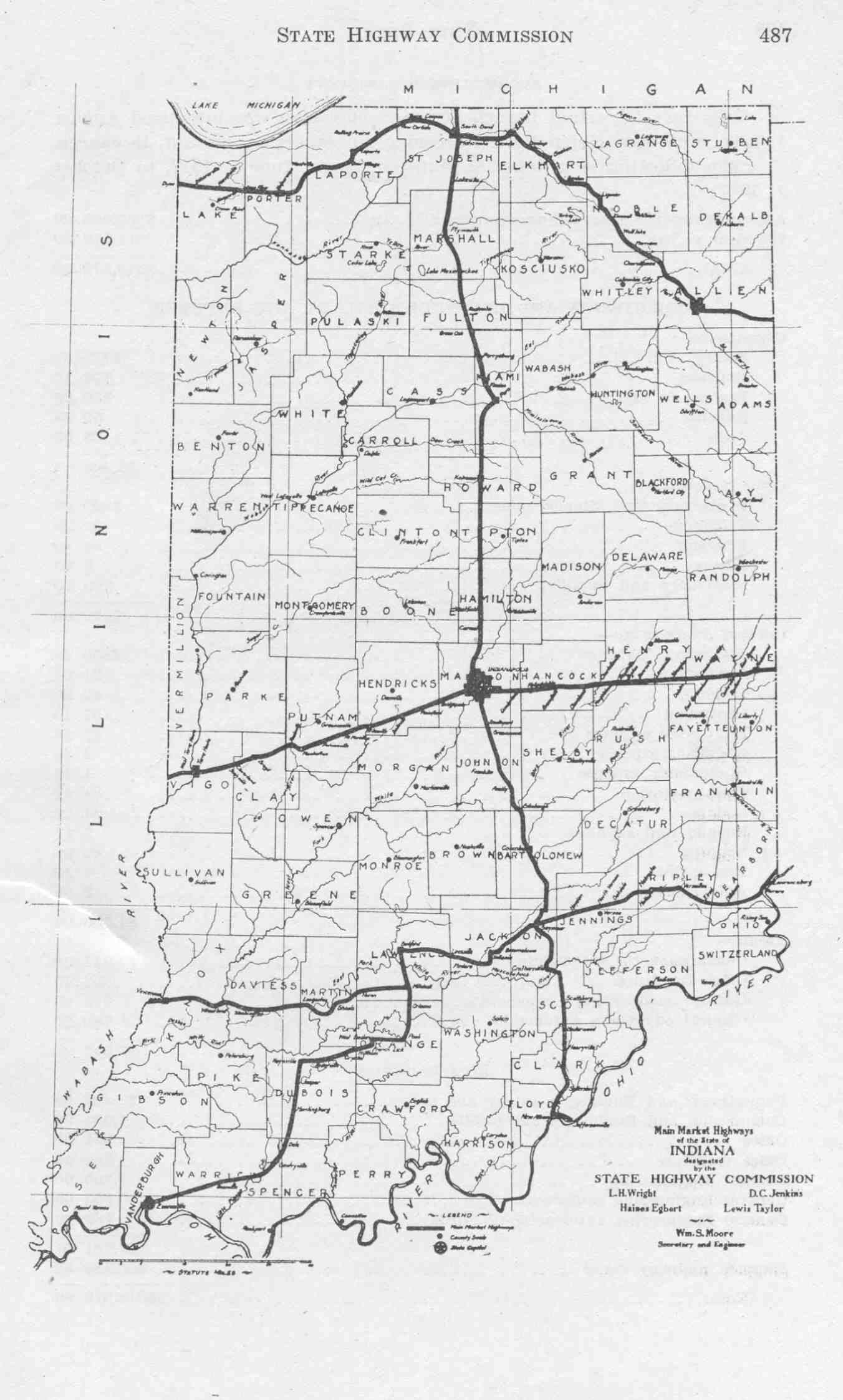
- ^ Indiana Main Market Highway Map (Map). Cartography by ISHC. Indiana State Highway Commission. June 1, 1917. Retrieved September 1, 2012.
- ^ Zorn, Tim (October 19, 2001). "You don't have to look hard, old route through Northwest Indiana still exists". Post-Tribune. Gary. p. LH4. OCLC 2266386. Retrieved August 23, 2012.
- ^ Indiana Transportation Map of 1923 (Map). Cartography by ISHC. Indiana State Highway Commission. September 30, 1923. Retrieved August 22, 2012.
- ^ Indiana Transportation Map of 1924 (PDF) (Map). Cartography by ISHC. Indiana State Highway Commission. September 30, 1924. Retrieved August 22, 2012.
- ^ "Portion of U.S. 33 is now Indiana 933". South Bend Tribune. April 18, 1998. p. A6. OCLC 8793233. Retrieved December 29, 2008.
- ^ Associated Press (November 21, 2004). "Handover of road opposed - Osceola leader calls state proposal costly". Fort Wayne: The Journal Gazette. p. 5C. OCLC 7368210. Retrieved August 31, 2012.
- ^ Indiana Department of Transportation, Fort Wayne District. "U.S. 33 Realignment In Goshen". Retrieved September 26, 2018.
The realignment of U.S. 33 through Goshen opened to traffic in June 2018.
External links edit