Tinaroo is a rural locality in the Tablelands Region, Queensland, Australia.[2] In the 2021 census, Tinaroo had a population of 293 people.[3]
| Tinaroo Queensland | |||||||||||||||
|---|---|---|---|---|---|---|---|---|---|---|---|---|---|---|---|
 Pelicans on the shore of Lake Tinaroo, 2008 | |||||||||||||||
 Tinaroo | |||||||||||||||
| Coordinates | 17°10′04″S 145°32′50″E / 17.1677°S 145.5472°E | ||||||||||||||
| Population | 293 (SAL 2021)[1] | ||||||||||||||
| Postcode(s) | 4872 | ||||||||||||||
| Area | 20.2 km2 (7.8 sq mi) | ||||||||||||||
| Time zone | AEST (UTC+10:00) | ||||||||||||||
| Location |
| ||||||||||||||
| LGA(s) | Tablelands Region | ||||||||||||||
| State electorate(s) | Hill | ||||||||||||||
| Federal division(s) | Kennedy | ||||||||||||||
| |||||||||||||||
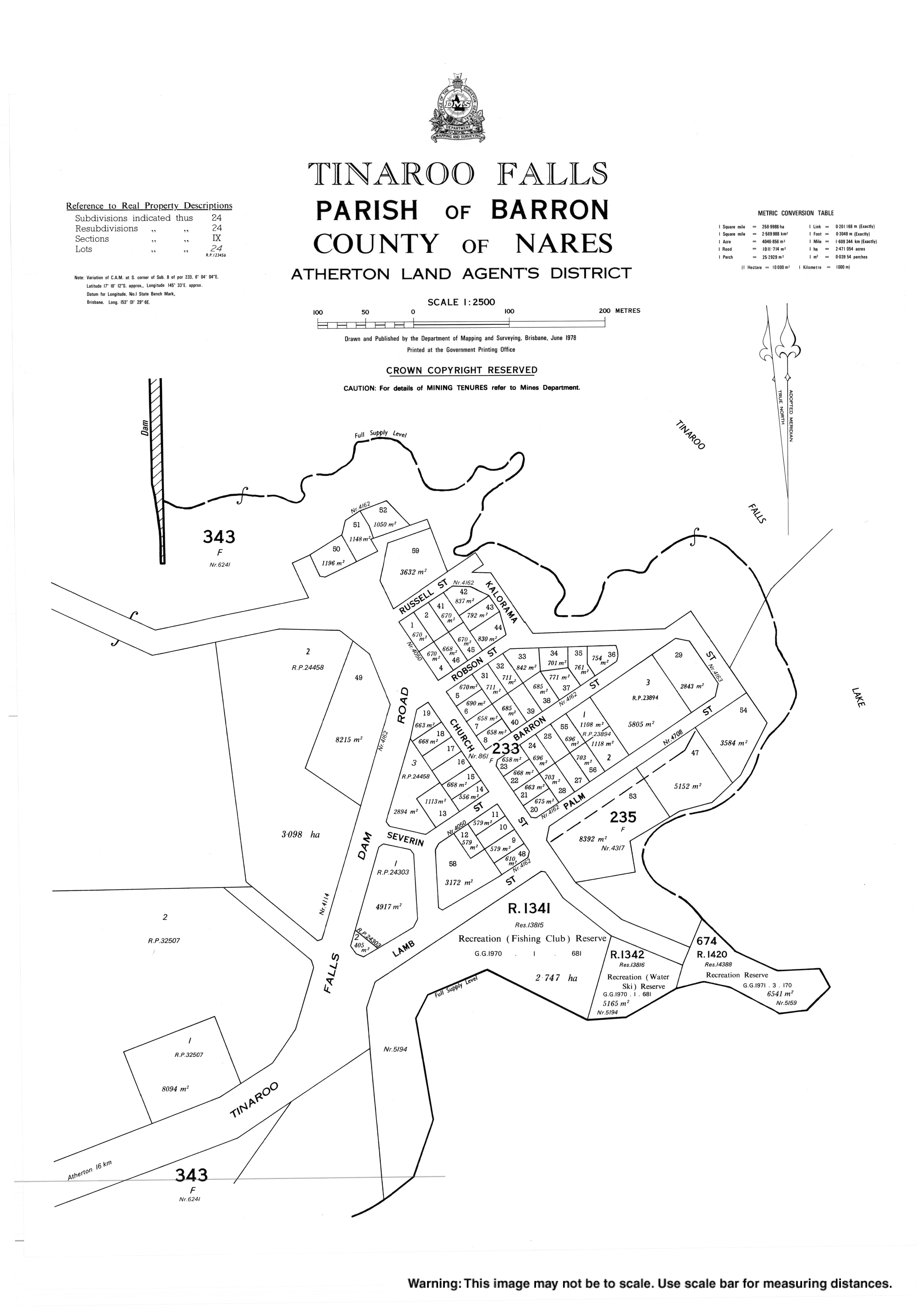
The town of Tinaroo Falls is on the eastern edge of the locality (17°10′06″S 145°32′58″E / 17.1683°S 145.5494°E) beside Lake Tinaroo.[4]
Geography edit
Tinaroo is located on the shore of Lake Tinaroo, a man-made reservoir created by the impoundment of the Barron River by the Tinarroo Dam.[5]
Despite the town's name, the waterfall of the same name is not in the town nor the locality, but it is very close by in the neighbouring locality of Lake Tinaroo, which includes the dam wall, the lake it impounds and the shoreline around the lake.[6]
History edit
The town and locality take their name from Tinaroo Creek, which is believed to derive from tin hurroo, a shout used by tin miners.[4]
Construction of the dam commenced in 1955 and the town was created to house the workers and their families. Tinaroo State School opened on 28 June 1954 for the workers' children. Construction completed in 1958 and the school closed on 4 December 1959.[7][8]
Tinaroo Environmental Education Centre was established in 1987.[9]
Demographics edit
At the 2006 census, Tinaroo had a population of 266.[10]
In the 2016 census, Tinaroo had a population of 312 people.[11]
In the 2021 census, Tinaroo had a population of 293 people.[3]
Education edit
Tinaroo Environmental Education Centre is 30-44 Tinaroo Falls Dam Road (17°10′07″S 145°32′52″E / 17.1685°S 145.5479°E). Operated by the Queensland Education Department, it provides outdoor and environment school programs.[12]
There are no mainstream schools in Tinaroo. The nearest government primary school is Kairi State School in neighbouring Kairi to the south. The nearest government secondary school is Atherton State High School in Atherton to the south-west.[13]
Attractions edit
Torpedo Bay Walking Track commences 2.3 km north of the dam wall and includes six lookouts.[14][15]
Platypus Rock Lookout is accessed from the Platypus Campground Road (17°09′27″S 145°33′40″E / 17.1576°S 145.5612°E).[14]
There is a boat ramp in Church Street providing access to the lake (17°10′17″S 145°33′05″E / 17.1715°S 145.5515°E). It is managed by the Tablelands Regional Council.[16]
References edit
- ^ Australian Bureau of Statistics (28 June 2022). "Tinaroo (suburb and locality)". Australian Census 2021 QuickStats. Retrieved 28 June 2022.
- ^ "Tinaroo – locality in Tablelands Region (entry 48901)". Queensland Place Names. Queensland Government. Retrieved 30 October 2019.
- ^ a b Australian Bureau of Statistics (28 June 2022). "Tinaroo (SAL)". 2021 Census QuickStats. Retrieved 28 February 2023.
- ^ a b "Tinaroo Falls – town in Tablelands Region (entry 34607)". Queensland Place Names. Queensland Government. Retrieved 30 October 2019.
- ^ "Tinaroo". Queensland Places. University of Queensland. Retrieved 19 July 2023.
- ^ "Tinaroo Falls – waterfall in the Tablelands Region (entry 34608)". Queensland Place Names. Queensland Government. Retrieved 1 November 2019.
- ^ Queensland Family History Society (2010), Queensland schools past and present (Version 1.01 ed.), Queensland Family History Society, ISBN 978-1-921171-26-0
- ^ "Tinaroo". Queensland Places. University of Queensland. Retrieved 19 July 2023.
- ^ "About us". Tinaroo Environmental Education Centre. 3 December 2019. Retrieved 19 July 2023.
- ^ Australian Bureau of Statistics (25 October 2007). "Tinaroo (L) (Urban Centre/Locality)". 2006 Census QuickStats. Retrieved 25 June 2011.
- ^ Australian Bureau of Statistics (27 June 2017). "Tinaroo (SSC)". 2016 Census QuickStats. Retrieved 20 October 2018.
- ^ "Tinaroo Environmental Education Centre". Tinaroo Environmental Education Centre. 29 November 2020. Retrieved 19 July 2023.
- ^ "Queensland Globe". State of Queensland. Retrieved 19 July 2023.
- ^ a b "Tourist points - Queensland". Queensland Open Data. Queensland Government. 18 November 2020. Archived from the original on 24 November 2020. Retrieved 24 November 2020.
- ^ "Tinaroo". Tropical Walking Tracks. 1 February 2015. Retrieved 19 July 2023.
- ^ "Recreational Boating Facilities Queensland". Queensland Open Data. Queensland Government. 12 November 2020. Archived from the original on 22 November 2020. Retrieved 22 November 2020.
External links edit
- "Tinaroo". Queensland Places. Centre for the Government of Queensland, University of Queensland.
- Town map of Tinaroo Falls, 1978