Talk:Nineveh Governorate
| This article is rated Start-class on Wikipedia's content assessment scale. It is of interest to the following WikiProjects: |
|||||||||||||||||||||
| |||||||||||||||||||||


Category: Assyria edit
I would like to know why the category Assyria is allowed while category Kurdistan is being removed? Is there exact boundaries for Assyria? As far as I remember that's the main reason given for removing the Kurdistan category.Heja Helweda 23:01, 21 January 2006 (UTC)
- It should be catergorized under Kurds (the people) but not Kurdistan (the nation.) Chaldean 21:21, 26 January 2006 (UTC)
1) 2005 January [1] - Note: Elections were boycotted by Sunni Arabs, Assyrians, Yezidis, and Turkmen.----Where is the Reference to this?
2) What is a Sunni/Assyrian?
Province or Governate? edit
I see the original title of this article was Nineveh Governate, but it was moved recently to Nineveh Province. The change says "common name", but I don't get it. Can anyone explain to me why? AlexanderVanLoon (talk) 11:28, 21 February 2013 (UTC)
- It's a bad move, conflicting with Governorates_of_Iraq Legacypac (talk) 10:16, 16 December 2014 (UTC)
Turkmen Population in Tal Afar about 300.000 edit
There is a significant turkmen population in tal afar, the number is roundabout 300.000 Furthermore there are many turkmens living in the city of mosul.
http://www.niqash.org/articles/?id=3276 — Preceding unsigned comment added by 2.241.8.105 (talk) 00:25, 6 April 2014 (UTC)
Requested move 22 January 2015 edit
- The following is a closed discussion of a requested move. Please do not modify it. Subsequent comments should be made in a new section on the talk page. Editors desiring to contest the closing decision should consider a move review. No further edits should be made to this section.
The result of the move request was: moved. Number 57 17:25, 8 February 2015 (UTC)
– Common format per Template:Governorates of Iraq. Wikipedia uses "governorate" to describe the primary administrative divisions in Iraq, not "province". These were all in the format "Place Governorate" until a series of undiscussed moves by User:EStudent 82 on 14 February 2012 (the user is no longer active on Wikipedia). The user was contacted at the time as he/she had made the move at Baghdad Governorate by cut and paste, and undertook to use the Requested move process in future. He/She subsequently made a further undiscussed move at Baghdad Governorate two days later. All the other governorates have subsequently been reverted. Skinsmoke (talk) 19:12, 22 January 2015 (UTC)
- Support per nom. These titles have been a mess for years and it's nice that the nominator is taking the time to fix things. — AjaxSmack 05:30, 25 January 2015 (UTC)
- The above discussion is preserved as an archive of a requested move. Please do not modify it. Subsequent comments should be made in a new section on this talk page or in a move review. No further edits should be made to this section.
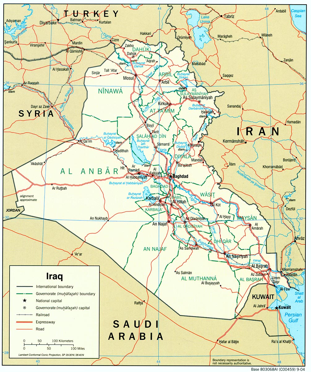
Error, inconsistency, between the two depicted maps edit
Gentlemen/ladies, the article gives two maps of Govn. Nineveh: one in the top of the article, the other in section Admin. Districts. These two maps do not fit on each other, they have a different shape, form -- which means that (at least) one of them must be incorrect. Who can correct this? --Corriebertus (talk) 15:04, 2 April 2015 (UTC)
- No map is exact as to the territory. Mapping conventions determine what type of inconsistencies are generated by a particular map. See Map projection. Because the two maps cover differently sized areas, and are of different scales, the mapping convention used is not the same. It is not a real issue that they do not fit on each other. The real question is: Do they effectively present the information? See Cartography#Map design. --Bejnar (talk) 17:13, 2 April 2015 (UTC)
- I'm not referring to map projections or scales or mapping conventions--perhaps I phrased the problem unclearly. The form of those maps is very different, in a way that can't be caused by projection methods, so they simply can't be representing the same area-on-the-ground. The top picture seems to go, on the east side, from Al-Hadar up to Zheikan but without Qaraj and Dybkah in the far southeast; the lower map does include those two (and more) areas in the southeast corner. They must have been based on different 'information', they clearly don't represent the same territory. Does anyone have knowledge to say which of them is incorrect? (In theory, they might be both incorrect.) --Corriebertus (talk) 07:41, 3 April 2015 (UTC)
- They do represent the same territory, regardless of the state of accuracy. Some mapping conventions smooth out sections of border lines, how much smoothing often depends upon scale. The first map is merely a location map showing where Nineveh Governorate is within Iraq. It does a good job of that. If the borders of the governorate are not exact it does not matter, the map does its job. With regard to the second map, if you believe there are significant errors, then you might start by taking it up with Hshamalsahra on the Arabic Wikipedia who produced the original map. Other maps showing the governorate are the CIA map, the UN map, an HIC map, and an Iraqi tourist map from 1970s. --Bejnar (talk) 20:23, 3 April 2015 (UTC)
- I'm not referring to map projections or scales or mapping conventions--perhaps I phrased the problem unclearly. The form of those maps is very different, in a way that can't be caused by projection methods, so they simply can't be representing the same area-on-the-ground. The top picture seems to go, on the east side, from Al-Hadar up to Zheikan but without Qaraj and Dybkah in the far southeast; the lower map does include those two (and more) areas in the southeast corner. They must have been based on different 'information', they clearly don't represent the same territory. Does anyone have knowledge to say which of them is incorrect? (In theory, they might be both incorrect.) --Corriebertus (talk) 07:41, 3 April 2015 (UTC)
- This UN map shows the northern border of Nineveh in more detail, as does this one. --Bejnar (talk) 22:52, 3 April 2015 (UTC)
Bejnar says: "If the borders of the governorate are not exact it does not matter, the map does its job." I tend to disagree on that. The foremost 'job' of a map is to picture borders correctly. --Corriebertus (talk) 14:22, 4 April 2015 (UTC)
- The purpose of a map can vary. See Cartography. In this case the primary purpose of map one is to show the location of Nineveh within Iraq. The scale is too large to show borders precisely. --Bejnar (talk) 20:44, 4 April 2015 (UTC)
I by chance just stumbled on a map in: "Report on the Administrative Changes in Kirkuk and the Disputed Regions" (PDF). http://perleman.org. Kurdistan Regional Government. December 2007. {{cite web}}: External link in |website=
I’ve written that comment to Hshamalsahra on
User talk:Hshamalsahra#Map Nineveh Governorate on Wikimedia Commons. I’ve tried to also write it on
his Arabic Talk page, but I doubt whether he can understand that attempt-at-a-message, especially because I may have made technical ‘Wikipedia’ errors in it. For the time being, we’ll have to assume that the map now standing in section Admin. Districts is not correct — unfortunately. --Corriebertus (talk) 14:22, 4 April 2015 (UTC)
- Nice find on that 2007 Report. Hshamalsahra made map two in 2015, the report is from 2007. I note that although the report says, page 50, that Makhmour (مخمور) District was annexed from the Erbil Governorate and attached to Nineveh in 1996, the map on page 36 of the report does not show that. The normalization suggestions for Nineveh do not suggest moving Makhmour District back to Erbil Governorate, see page 51. Overall, it looks as if Hshamalsahra's map shows the more current boundaries, unless we can find evidence that despite the report, that Makhmour District was again moved since 2007. --Bejnar (talk) 20:44, 4 April 2015 (UTC)