Route 226 is a two-lane east/west highway in Quebec, Canada. Its western terminus is at the junction of Route 132 in Pierreville and its eastern terminus is in Sainte-Croix at the junction of Route 271.
Route 226 | ||||
|---|---|---|---|---|
 | ||||
| Route information | ||||
| Maintained by Transports Québec | ||||
| Length | 129.2 km[1] (80.3 mi) | |||
| Major junctions | ||||
| West end | ||||
| East end | ||||
| Location | ||||
| Country | Canada | |||
| Province | Quebec | |||
| Highway system | ||||
| ||||

Route 226 is an exclusively rural highway going through very small villages in the Chaudière-Appalaches and mostly in the Centre-du-Québec regions. The biggest village along the way is Saint-Édouard-de-Lotbinière, with 1,200 people.
Municipalities along Route 226 edit
- Pierreville
- Saint-Elphège
- La-Visitation-de-Yamaska
- Sainte-Monique
- Grand-Saint-Esprit
- Saint-Célestin (municipality)
- Saint-Célestin (village)
- Bécancour
- Sainte-Marie-de-Blandford
- Sainte-Sophie-de-Lévrard
- Fortierville
- Parisville
- Leclercville
- Saint-Édouard-de-Lotbinière
- Sainte-Croix
-
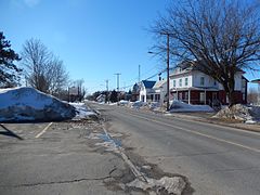
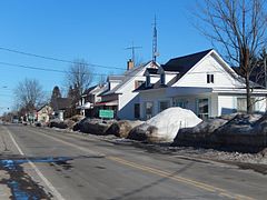
 Route 226 in Sainte-Gertrude.
 -
 Bridge over Nicolet River in Sainte-Monique.
 -
 Route 226 through Sainte-Marie-de-Blandford.
 -
 Route 226 follows Principale street in Fortierville.
 -
 Intersection with Route 265 in Parisville.


See also edit
References edit
- ^ Ministère des transports, "Distances routières", page 84-85, Les Publications du Québec, 2005
External links edit
- Provincial Route Map (Courtesy of the Quebec Ministry of Transportation) (in French)
- Route 226 on Google Maps
This Quebec road, road transport or highway-related article is a stub. You can help Wikipedia by expanding it. |