.jpg)
.jpg&action=edit&redlink=1)
Size of this preview: 800 × 457 pixels. Other resolutions: 320 × 183 pixels | 640 × 366 pixels | 1,024 × 585 pixels | 1,280 × 731 pixels | 2,101 × 1,200 pixels.
Original file (2,101 × 1,200 pixels, file size: 387 KB, MIME type: image/jpeg)
| This is a file from the Wikimedia Commons. Information from its description page there is shown below. Commons is a freely licensed media file repository. You can help. |
.jpg)
Summary
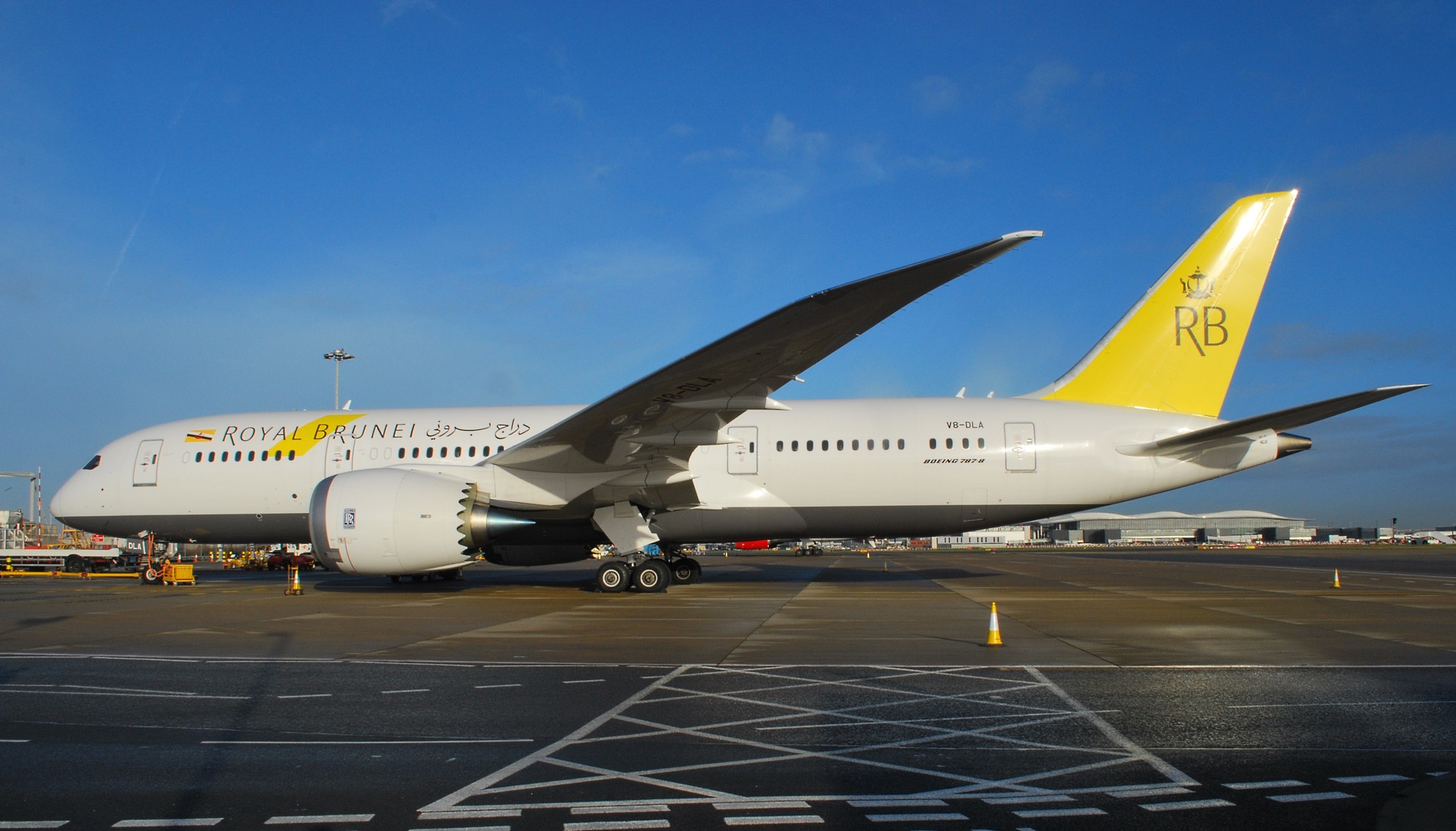
| Description | Remote parked between flights |
| Date | |
| Source | V8-DLA Boeing 787 of Royal Brunei at Heathrow |
| Author | Simon Boddy from Maidenhead, Uk |
| Camera location | | View this and other nearby images on: OpenStreetMap |
|---|
.jpg¶ms=051.458713_N_-000.454688_E_globe:Earth_type:camera_source:Flickr_&language=en)
Licensing
This file is licensed under the Creative Commons Attribution-Share Alike 2.0 Generic license.
Attribution: Simon Boddy
- You are free:
- to share – to copy, distribute and transmit the work
- to remix – to adapt the work
- Under the following conditions:
- attribution – You must give appropriate credit, provide a link to the license, and indicate if changes were made. You may do so in any reasonable manner, but not in any way that suggests the licensor endorses you or your use.
- share alike – If you remix, transform, or build upon the material, you must distribute your contributions under the same or compatible license as the original.
| This image, originally posted to Flickr, was reviewed on 15 March 2014 by the administrator or reviewer File Upload Bot (Magnus Manske), who confirmed that it was available on Flickr under the stated license on that date. |
 |
Please note: This image was originally uploaded to Wikimedia Commons licensed as noted. The copyright holder has since changed the licensing to be more restrictive. Creative Commons licenses are non-revocable. See the Creative Commons FAQ on revoking licensing.
|
File history
Click on a date/time to view the file as it appeared at that time.
| Date/Time | Thumbnail | Dimensions | User | Comment | |
|---|---|---|---|---|---|
| current | 15:56, 15 March 2014 | | 2,101 × 1,200 (387 KB) | Russavia | Transferred from Flickr |
File usage
The following pages on the English Wikipedia use this file (pages on other projects are not listed):
Global file usage
The following other wikis use this file:
- Usage on bg.wikipedia.org
- Usage on bn.wikipedia.org
- Usage on incubator.wikimedia.org
- Usage on ms.wikipedia.org
- Usage on my.wikipedia.org
- Usage on ru.wikipedia.org
.jpg)