Size of this preview: 780 × 599 pixels. Other resolutions: 313 × 240 pixels | 625 × 480 pixels | 1,000 × 768 pixels | 1,280 × 983 pixels | 2,560 × 1,967 pixels | 5,951 × 4,572 pixels.
Original file (5,951 × 4,572 pixels, file size: 2.92 MB, MIME type: image/jpeg)
| This is a file from the Wikimedia Commons. Information from its description page there is shown below. Commons is a freely licensed media file repository. You can help. |
Summary
| Description |
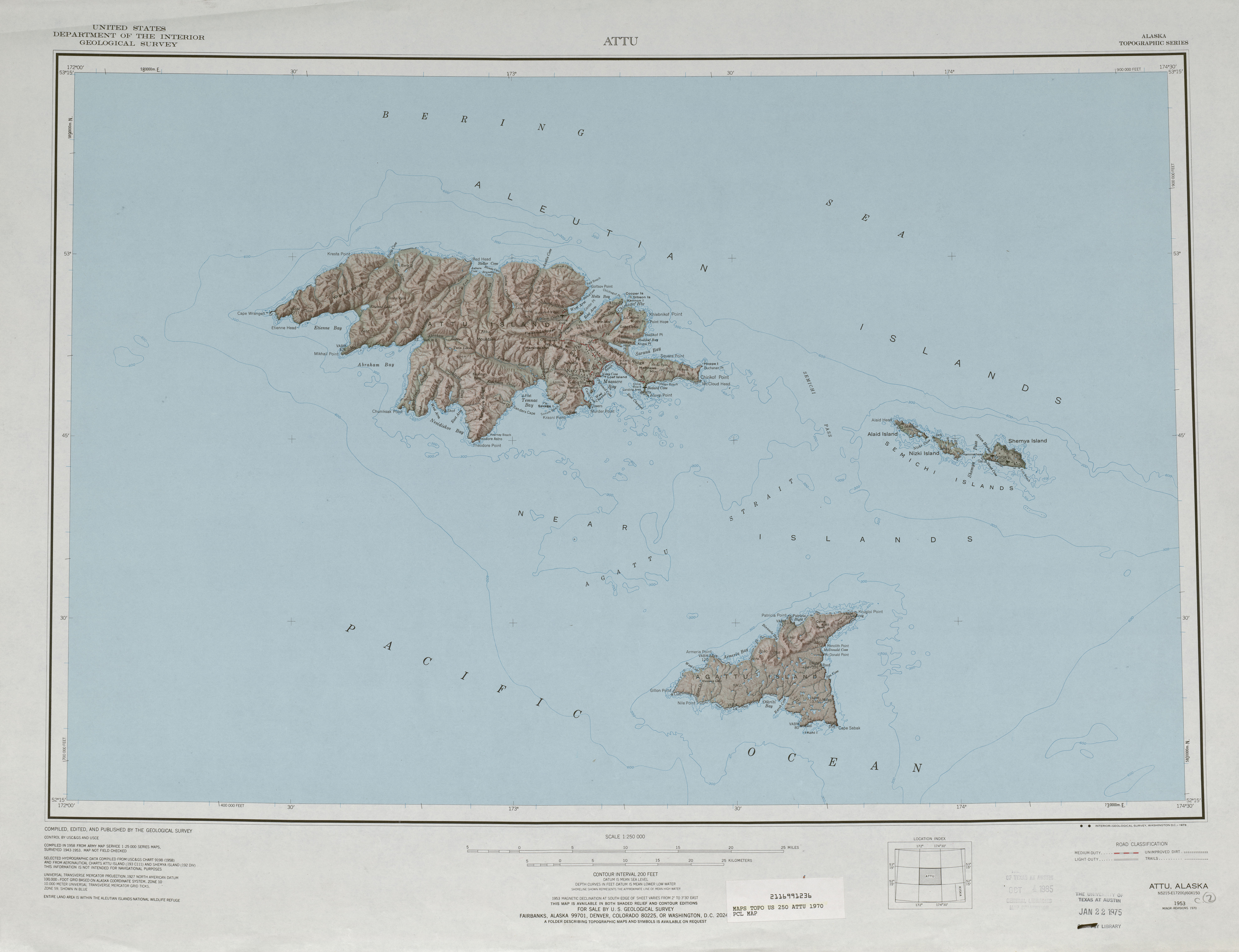
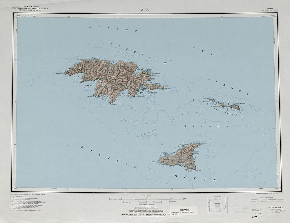
English: 1:250,000 map sheet with Attu Island, Agattu Island, and Semichi Islands |
| Date | |
| Source | http://www.lib.utexas.edu/maps/topo/250k/txu-pclmaps-topo-us-attu-1970.jpg |
| Author | US Geological Survey |
Licensing
This image is in the public domain in the United States because it only contains materials that originally came from the United States Geological Survey, an agency of the United States Department of the Interior. For more information, see the official USGS copyright policy.
|
File history
Click on a date/time to view the file as it appeared at that time.
| Date/Time | Thumbnail | Dimensions | User | Comment | |
|---|---|---|---|---|---|
| current | 18:38, 2 October 2010 | | 5,951 × 4,572 (2.92 MB) | Ratzer | {{Information |Description={{en|1=1:250,000 map sheet with Attu Island, Agattu Island, and Semichi Islands}} |Source=http://www.lib.utexas.edu/maps/topo/250k/txu-pclmaps-topo-us-attu-1970.jpg |Author=US Geological Survey |Date=1970 |Permission= |other_ver |
File usage
The following pages on the English Wikipedia use this file (pages on other projects are not listed):
Global file usage
The following other wikis use this file:
- Usage on ast.wikipedia.org
- Usage on az.wikipedia.org
- Usage on bg.wikipedia.org
- Usage on bn.wikipedia.org
- Usage on de.wikipedia.org
- Usage on eo.wikipedia.org
- Usage on es.wikipedia.org
- Usage on it.wikipedia.org
- Usage on ja.wikipedia.org
- Usage on nl.wikipedia.org
- Usage on pt.wikipedia.org
- Usage on ru.wikipedia.org
- Usage on uk.wikipedia.org
- Usage on zh.wikipedia.org