.svg)
.svg&action=edit&redlink=1)

Size of this PNG preview of this SVG file: 800 × 552 pixels. Other resolutions: 320 × 221 pixels | 640 × 441 pixels | 1,024 × 706 pixels | 1,280 × 883 pixels | 2,560 × 1,765 pixels | 2,403 × 1,657 pixels.
Original file (SVG file, nominally 2,403 × 1,657 pixels, file size: 90 KB)
| This is a file from the Wikimedia Commons. Information from its description page there is shown below. Commons is a freely licensed media file repository. You can help. |
.svg)
| Description |
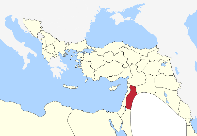
English: Map of Syria Vilayet, Ottoman Empire (1900) |
| Date | (UTC) |
| Source | |
| Author |
|
I, the copyright holder of this work, hereby publish it under the following license:
| I, the copyright holder of this work, release this work into the public domain. This applies worldwide. In some countries this may not be legally possible; if so: I grant anyone the right to use this work for any purpose, without any conditions, unless such conditions are required by law. |
Original upload log
This image is a derivative work of the following images:
- File:Map-of-Ottoman-Empire-in-1900-German.svg licensed with PD-self
- 2010-09-15T16:03:25Z NordNordWest 2647x1660 (80991 Bytes) c
- 2010-09-15T16:01:51Z NordNordWest 2646x1660 (80490 Bytes) c
- 2010-09-15T16:00:30Z NordNordWest 2646x1660 (81041 Bytes) c
- 2010-08-28T18:30:23Z NordNordWest 2645x1661 (114565 Bytes) bigger
- 2010-08-28T18:18:46Z NordNordWest 885x557 (98596 Bytes) {{Information |Description={{de|Karte des Osmanischen Reiches um 1900 in Deutsch}} {{en|Map of Ottoman Empire (1900) in German}} |Source=*[[:File:Map-of-Ottoman-Empire-in-1900-Latvian.svg|]] |Date=2010-08-28 18:18 (UTC) |Auth
Uploaded with derivativeFX
File history
Click on a date/time to view the file as it appeared at that time.
| Date/Time | Thumbnail | Dimensions | User | Comment | |
|---|---|---|---|---|---|
| current | 16:59, 16 May 2011 | | 2,403 × 1,657 (90 KB) | Underlying lk | {{Information |Description ={{en|1=asdf}} |Source ={{own}} |Author =Underlying lk |Date = |Permission =asdf |other_versions =asdf }} asdf |
File usage
The following pages on the English Wikipedia use this file (pages on other projects are not listed):
Global file usage
The following other wikis use this file:
- Usage on ar.wikipedia.org
- Usage on es.wikipedia.org
- Usage on tr.wikipedia.org
.svg)