Size of this preview: 800 × 533 pixels. Other resolutions: 320 × 213 pixels | 640 × 426 pixels | 1,024 × 682 pixels | 1,280 × 853 pixels | 1,600 × 1,066 pixels.
Original file (1,600 × 1,066 pixels, file size: 247 KB, MIME type: image/jpeg)
| This is a file from the Wikimedia Commons. Information from its description page there is shown below. Commons is a freely licensed media file repository. You can help. |
Summary
| Description |
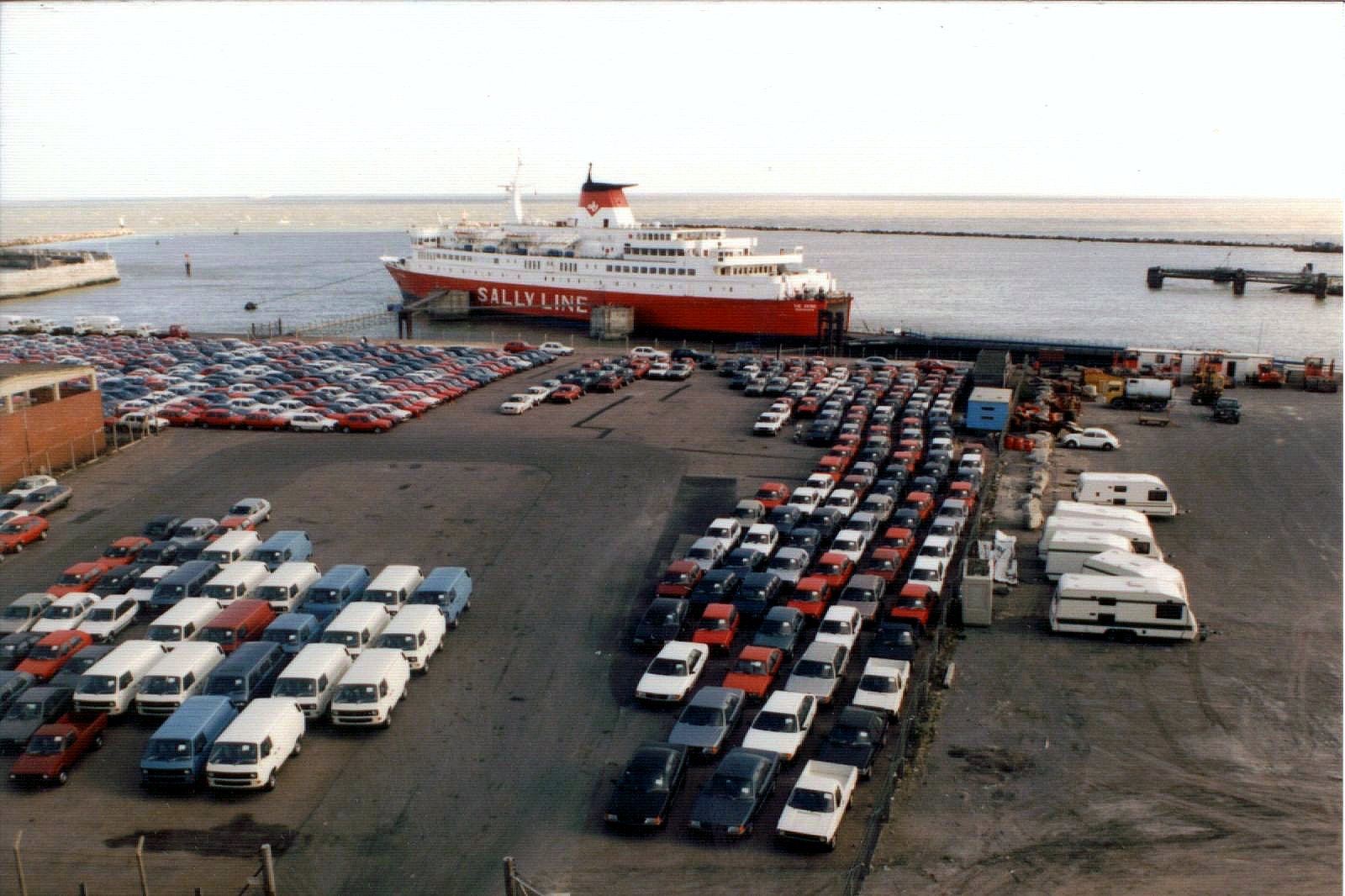
Sally Line Ramsgate to Dunkerque Ferry. See where this picture was taken. [?] |
| Date | |
| Source | The Viking at Ramsgate harbour |
| Author | Graham Smith from England |
| Camera location | | View this and other nearby images on: OpenStreetMap |
|---|
Licensing
This file is licensed under the Creative Commons Attribution 2.0 Generic license.
- You are free:
- to share – to copy, distribute and transmit the work
- to remix – to adapt the work
- Under the following conditions:
- attribution – You must give appropriate credit, provide a link to the license, and indicate if changes were made. You may do so in any reasonable manner, but not in any way that suggests the licensor endorses you or your use.
| This image was originally posted to Flickr by gravyphig at https://www.flickr.com/photos/95736569@N00/2745203028. It was reviewed on 31 August 2010 by FlickreviewR and was confirmed to be licensed under the terms of the cc-by-2.0. |
File history
Click on a date/time to view the file as it appeared at that time.
| Date/Time | Thumbnail | Dimensions | User | Comment | |
|---|---|---|---|---|---|
| current | 11:50, 31 August 2010 | | 1,600 × 1,066 (247 KB) | Owain.davies | {{Information |Description=Sally Line Ramsgate to Dunkerque Ferry. [http://loc.alize.us/#/flickr:2745203028 See where this picture was taken.] [http://www.flickr.com/groups/geotagging/discuss/72157594165549916/ [?]] |Source=[http://www.flickr.c |
File usage
The following pages on the English Wikipedia use this file (pages on other projects are not listed):
Global file usage
The following other wikis use this file:
- Usage on ceb.wikipedia.org
- Usage on en.wikivoyage.org
- Usage on www.wikidata.org