
Size of this PNG preview of this SVG file: 800 × 578 pixels. Other resolutions: 320 × 231 pixels | 640 × 462 pixels | 1,024 × 740 pixels | 1,280 × 925 pixels | 2,560 × 1,850 pixels | 1,175 × 849 pixels.
Original file (SVG file, nominally 1,175 × 849 pixels, file size: 182 KB)
| This is a file from the Wikimedia Commons. Information from its description page there is shown below. Commons is a freely licensed media file repository. You can help. |
Summary
| Camera location | | View this and other nearby images on: OpenStreetMap |
|---|
| Description |
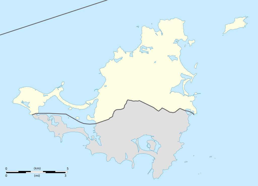
English: Blank administrative map of the overseas collectivity of Saint Martin, France, for geo-location purpose.
Français : Carte administrative vierge de la collectivité d'outre-mer de Saint-Martin, France, destinée à la géolocalisation. Estimated scale: 1:200,000 (precision: 50 m)
Geographic limits of the map:
|
||
| Date | |||
| Source |
Own work
|
||
| Author | Eric Gaba (Sting - fr:Sting) | ||
| Permission (Reusing this file) |
|
||
| Other versions |
|


Licensing
I, the copyright holder of this work, hereby publish it under the following licenses:
This file is licensed under the Creative Commons Attribution-Share Alike 3.0 Unported license.
- You are free:
- to share – to copy, distribute and transmit the work
- to remix – to adapt the work
- Under the following conditions:
- attribution – You must give appropriate credit, provide a link to the license, and indicate if changes were made. You may do so in any reasonable manner, but not in any way that suggests the licensor endorses you or your use.
- share alike – If you remix, transform, or build upon the material, you must distribute your contributions under the same or compatible license as the original.

|
Permission is granted to copy, distribute and/or modify this document under the terms of the GNU Free Documentation License, Version 1.2 or any later version published by the Free Software Foundation; with no Invariant Sections, no Front-Cover Texts, and no Back-Cover Texts. A copy of the license is included in the section entitled GNU Free Documentation License. |
You may select the license of your choice.
File history
Click on a date/time to view the file as it appeared at that time.
| Date/Time | Thumbnail | Dimensions | User | Comment | |
|---|---|---|---|---|---|
| current | 19:42, 17 January 2009 | | 1,175 × 849 (182 KB) | Sting | == Summary == {{Location|18|04|07|N|63|03|45|W|scale:100000}} <br/> {{Information |Description={{en|Blank administrative map of the overseas collectivity of Saint Martin, France, f |
File usage
The following pages on the English Wikipedia use this file (pages on other projects are not listed):
Global file usage
The following other wikis use this file:
- Usage on af.wikipedia.org
- Usage on als.wikipedia.org
- Usage on an.wikipedia.org
- Usage on ar.wikipedia.org
- Usage on ast.wikipedia.org
- Usage on be-tarask.wikipedia.org
- Usage on bg.wikipedia.org
- Usage on bn.wikipedia.org
- Usage on bs.wikipedia.org
- Usage on ceb.wikipedia.org
- Plantilya:Location map Saint-Martin
- Green Cay
- Eastern Point
- Red Hill
- Bell Point
- Flagstaff
- Saint-Martin (pagklaro)
- Île Frégate
- Red Rock
- Hope Hill
- Bell Hill
- Pointe Noire
- Marigot
- Le Paradis
- Baie Rouge
- Crocus Hill
- Île Charlotte
- Lac Simpson
- Lac Simson
- Montagne Ronde
- Pointe Bluff
- Pointe Nord
- Saint Martin (pagklaro)
- La Selle
- Mont Fortune
- Baie du Marigot
- Grand Îlet
- Morne Rond
- Le Selle
- Simson Baai Lagoen
- Sint Maarten (pagklaro)
- Pointe Falaise
- Pointe du Bluff
- Spaniard Rock
- Baie Blanche
- Concordia Hill
- Mont des Accords
View more global usage of this file.