
Size of this preview: 414 × 599 pixels. Other resolutions: 166 × 240 pixels | 332 × 480 pixels | 531 × 768 pixels | 1,200 × 1,736 pixels.
Original file (1,200 × 1,736 pixels, file size: 445 KB, MIME type: image/jpeg)
| This is a file from the Wikimedia Commons. Information from its description page there is shown below. Commons is a freely licensed media file repository. You can help. |
Summary
| Description |
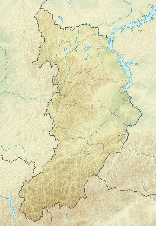
Русский: Физическая карта Республики Хакасия
|top = 55.6 |bottom = 51.2 |left = 87.3 |right = 92.4 |
| Date | |
| Source |
|
| Author | |
| Other versions |
[] |


Licensing
| I, the copyright holder of this work, release this work into the public domain. This applies worldwide. In some countries this may not be legally possible; if so: I grant anyone the right to use this work for any purpose, without any conditions, unless such conditions are required by law. |
File history
Click on a date/time to view the file as it appeared at that time.
| Date/Time | Thumbnail | Dimensions | User | Comment | |
|---|---|---|---|---|---|
| current | 18:37, 16 September 2010 | | 1,200 × 1,736 (445 KB) | Виктор В | == {{int:filedesc}} == {{Information |Description={{ru|1=Физическая карта Республики Хакасия *Проекция — равноугольная. *Стандартная параллель — 53°24′00″с.ш. *Парам� |
File usage
The following pages on the English Wikipedia use this file (pages on other projects are not listed):
Global file usage
The following other wikis use this file:
- Usage on az.wikipedia.org
- Usage on ba.wikipedia.org
- Usage on be.wikipedia.org
- Usage on bg.wikipedia.org
- Usage on ce.wikipedia.org
- Usage on cs.wikipedia.org
- Usage on da.wikipedia.org
- Usage on de.wikipedia.org
- Usage on eo.wikipedia.org
- Usage on es.wikipedia.org
- Usage on frr.wikipedia.org
- Usage on fr.wikipedia.org
- Usage on he.wikipedia.org
- Usage on hsb.wikipedia.org
View more global usage of this file.