No higher resolution available.
Quoile_Castle,_geograph.jpg (640 × 426 pixels, file size: 165 KB, MIME type: image/jpeg)
| This is a file from the Wikimedia Commons. Information from its description page there is shown below. Commons is a freely licensed media file repository. You can help. |
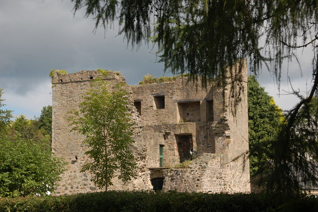
| Description | Quoile Castle, a castle situated near Downpatrick, County Down, Northern Ireland, just off the main road from Downpatrick to Strangford. | ||
| Date | |||
| Source | Geograph project | ||
| Author | Aubrey Dale | ||
| Permission (Reusing this file) |
This file is licensed under the Creative Commons Attribution-Share Alike 2.0 Generic license. Attribution: Aubrey Dale
|

| Camera location | | View this and other nearby images on: OpenStreetMap |
|---|
File history
Click on a date/time to view the file as it appeared at that time.
| Date/Time | Thumbnail | Dimensions | User | Comment | |
|---|---|---|---|---|---|
| current | 13:46, 24 November 2006 | | 640 × 426 (165 KB) | GeeJo | {{Information| |Description = Quoile Castle, a castle situated near Downpatrick, County Down, Northern Ireland, just off the main road from Downpatrick to Strangford. |Source = [http://www.geograph.org.uk/photo/228269 Geograph projec |
File usage
The following pages on the English Wikipedia use this file (pages on other projects are not listed):
Global file usage
The following other wikis use this file:
- Usage on cs.wikipedia.org
- Usage on de.wikipedia.org
- Usage on eu.wikipedia.org
- Usage on fr.wikipedia.org
- Usage on ru.wikipedia.org
- Usage on www.wikidata.org