.svg)
.svg&action=edit&redlink=1)

Size of this PNG preview of this SVG file: 656 × 486 pixels. Other resolutions: 320 × 237 pixels | 640 × 474 pixels | 1,024 × 759 pixels | 1,280 × 948 pixels | 2,560 × 1,897 pixels.
Original file (SVG file, nominally 656 × 486 pixels, file size: 3.66 MB)
| This is a file from the Wikimedia Commons. Information from its description page there is shown below. Commons is a freely licensed media file repository. You can help. |
.svg)
Summary
| Description |
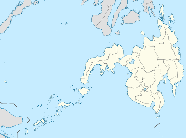
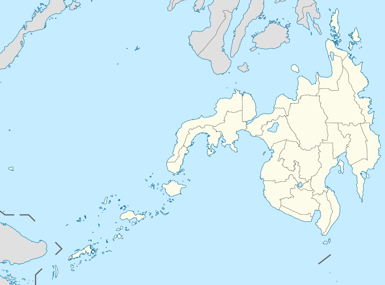
English: Location map of the Philippines (Mindanao)
Equirectangular projection based on the parallel of 10°43' N
|
| Date | |
| Source | File:Philippines location map (square).svg |
| Author | User:Hellerick |
| Other versions |
This file was derived from: Philippines location map (square).svg: .svg) |
Licensing
This file is licensed under the Creative Commons Attribution-Share Alike 3.0 Unported license.
- You are free:
- to share – to copy, distribute and transmit the work
- to remix – to adapt the work
- Under the following conditions:
- attribution – You must give appropriate credit, provide a link to the license, and indicate if changes were made. You may do so in any reasonable manner, but not in any way that suggests the licensor endorses you or your use.
- share alike – If you remix, transform, or build upon the material, you must distribute your contributions under the same or compatible license as the original.
File history
Click on a date/time to view the file as it appeared at that time.
| Date/Time | Thumbnail | Dimensions | User | Comment | |
|---|---|---|---|---|---|
| current | 07:11, 17 May 2021 | | 656 × 486 (3.66 MB) | Petriolo | Reverted to version as of 05:35, 3 May 2021 (UTC) The new administrative borders are based from the Philippine government websites (https://www.geoportal.gov.ph/; http://noah.up.edu.ph/), and is deemed accurate. These new files have reliable sources and there's no "beauty" in it if it is inaccurate in the first place. |
| 14:02, 16 May 2021 |  | 656 × 486 (2.22 MB) | AichiWikiFixer | Reverted to version as of 14:34, 27 October 2017 (UTC) (Borders seen as ugly) | |
| 05:35, 3 May 2021 |  | 656 × 486 (3.66 MB) | Petriolo | updated with NAMRIA borders | |
| 14:34, 27 October 2017 |  | 656 × 486 (2.22 MB) | Mliu92 | Changed crop to add missing island. | |
| 17:23, 26 October 2017 |  | 573 × 573 (2.22 MB) | Mliu92 | User created page with UploadWizard |
File usage
More than 100 pages use this file. The following list shows the first 100 pages that use this file only. A full list is available.
.svg)
- 1918 Celebes Sea earthquake
- 1976 Moro Gulf earthquake
- 2002 Mindanao earthquake
- 2018 Isulan bombings
- 2022 Pilipinas Super League Pearl of the Orient Cup
- Aglayan
- Amai Pakpak Medical Center
- Andres Bonifacio College
- Apo Macote
- Bancasi Airport
- Bangcud
- Bangsamoro Government Center
- Basilan State College
- Begonia noraaunorae
- Busdi
- Cabangahan
- Caburacanan
- Cagayan de Oro College
- Camiguin Airport
- Can-ayan
- Capitan Angel
- Capitol University Medical Center
- Caraga Regional Hospital
- Casa Bernedo
- Cotabato Airport
- Cotabato Regional and Medical Center
- Cotabato Trench
- Dalwangan
- Dansalan College
- Davao Cathedral
- Davao Doctors' College
- Davao Oriental State University
- De La Salle John Bosco College
- Dipolog Airport
- Dipolog Cathedral
- Fort Pilar
- Francisco Bangoy International Airport
- Fuerte de la Concepcion y del Triunfo
- General Santos International Airport
- Holy Cross of Davao College
- Imbayao
- Immaculate Conception Parish Church (Jasaan)
- Indalasa
- Isabela Cathedral
- Jimenez Church
- Jolo Airport
- Jolo Cathedral
- Kalasungay
- Kibalabag
- Labo Airport
- Laguindingan Airport
- Laguitas
- Linabo
- List of Philippine Basketball Association playing venues
- Maharlika Pilipinas Basketball League
- Mailag
- Managok
- Manalog
- Mapayag
- Mapulo
- Marawi Grand Mosque
- Miglamin
- Mindanao State University–Buug
- Mindanao State University–General Santos City
- Mindanao State University–Iligan Institute of Technology
- Mindanao State University–Maguindanao
- Mindanao State University–Naawan
- Mindanao State University–Tawi-Tawi College of Technology and Oceanography
- Moro Gulf
- Northern Mindanao Medical Center
- Northern Mindanao Wellness and Reintegration Center
- Notre Dame of Dadiangas University
- Notre Dame of Marbel University
- Notre Dame of Tacurong College
- Pagadian Airport
- Patpat
- Poblacion, Malaybalay
- Saint Augustine Metropolitan Cathedral
- Saint Michael College of Caraga
- Saint Paul University Surigao
- Saint Peter, Malaybalay
- San Jose, Malaybalay
- San Martin, Malaybalay
- Sanga-Sanga Airport
- Santo Niño, Malaybalay
- Sayak Airport
- Siege of Marawi
- Silae
- Simaya
- Sinanglanan
- South Cotabato Rehabilitation and Detention Center
- Southern Philippines Medical Center
- St. Mary's Cathedral (Marawi)
- St. Michael's College (Iligan)
- Surigao Airport
- Surigao Cathedral
- Violeta, Malaybalay
- West Metro Medical Center
- Zamboanga International Airport
- Zamboanguita, Malaybalay
View more links to this file.
Global file usage
The following other wikis use this file:
- Usage on azb.wikipedia.org
- Usage on fa.wikipedia.org
- Usage on fr.wikipedia.org
- Usage on id.wikipedia.org
- Usage on ilo.wikipedia.org
- Usage on ja.wikipedia.org
- Usage on ko.wikipedia.org
- Usage on lv.wikipedia.org
View more global usage of this file.
.svg)
.svg)