
Size of this preview: 800 × 455 pixels. Other resolutions: 320 × 182 pixels | 640 × 364 pixels | 1,024 × 582 pixels | 1,280 × 727 pixels | 2,560 × 1,454 pixels | 3,654 × 2,076 pixels.
Original file (3,654 × 2,076 pixels, file size: 651 KB, MIME type: image/png)
| This is a file from the Wikimedia Commons. Information from its description page there is shown below. Commons is a freely licensed media file repository. You can help. |
| Description | |
| Date | 3 May 2007 (original upload date) |
| Source |
Original image transferred from en.wikipedia; transferred to Commons by User:Ludger1961 using CommonsHelper. Used:PhlMapCit.svg by Felipe_Aira and Philippines location map.svg by NordNordWest on versions uploaded on 2012-08-28
|
| Author | Scorpion prinz at English Wikipedia |
Licensing
Scorpion prinz at English Wikipedia, the copyright holder of this work, hereby publishes it under the following license:
This file is licensed under the Creative Commons Attribution-Share Alike 3.0 Unported license.
Attribution: Scorpion prinz at English Wikipedia
- You are free:
- to share – to copy, distribute and transmit the work
- to remix – to adapt the work
- Under the following conditions:
- attribution – You must give appropriate credit, provide a link to the license, and indicate if changes were made. You may do so in any reasonable manner, but not in any way that suggests the licensor endorses you or your use.
- share alike – If you remix, transform, or build upon the material, you must distribute your contributions under the same or compatible license as the original.
Original upload log
The original description page was here. All following user names refer to en.wikipedia.
- 2007-05-03 06:25 Scorpion prinz 1336×712× (69260 bytes) edited image
File history
Click on a date/time to view the file as it appeared at that time.
| Date/Time | Thumbnail | Dimensions | User | Comment | |
|---|---|---|---|---|---|
| current | 13:59, 28 August 2012 | | 3,654 × 2,076 (651 KB) | Namayan | reduced size |
| 13:58, 28 August 2012 |  | 4,872 × 2,768 (953 KB) | Namayan | Changed maguindanao coast to correct color | |
| 12:57, 28 August 2012 |  | 3,654 × 2,076 (651 KB) | Namayan | updated map, optimized border | |
| 12:38, 28 August 2012 |  | 3,045 × 1,730 (513 KB) | Namayan | reduced size | |
| 12:37, 28 August 2012 |  | 6,091 × 3,460 (1.24 MB) | Namayan | uploaded new map | |
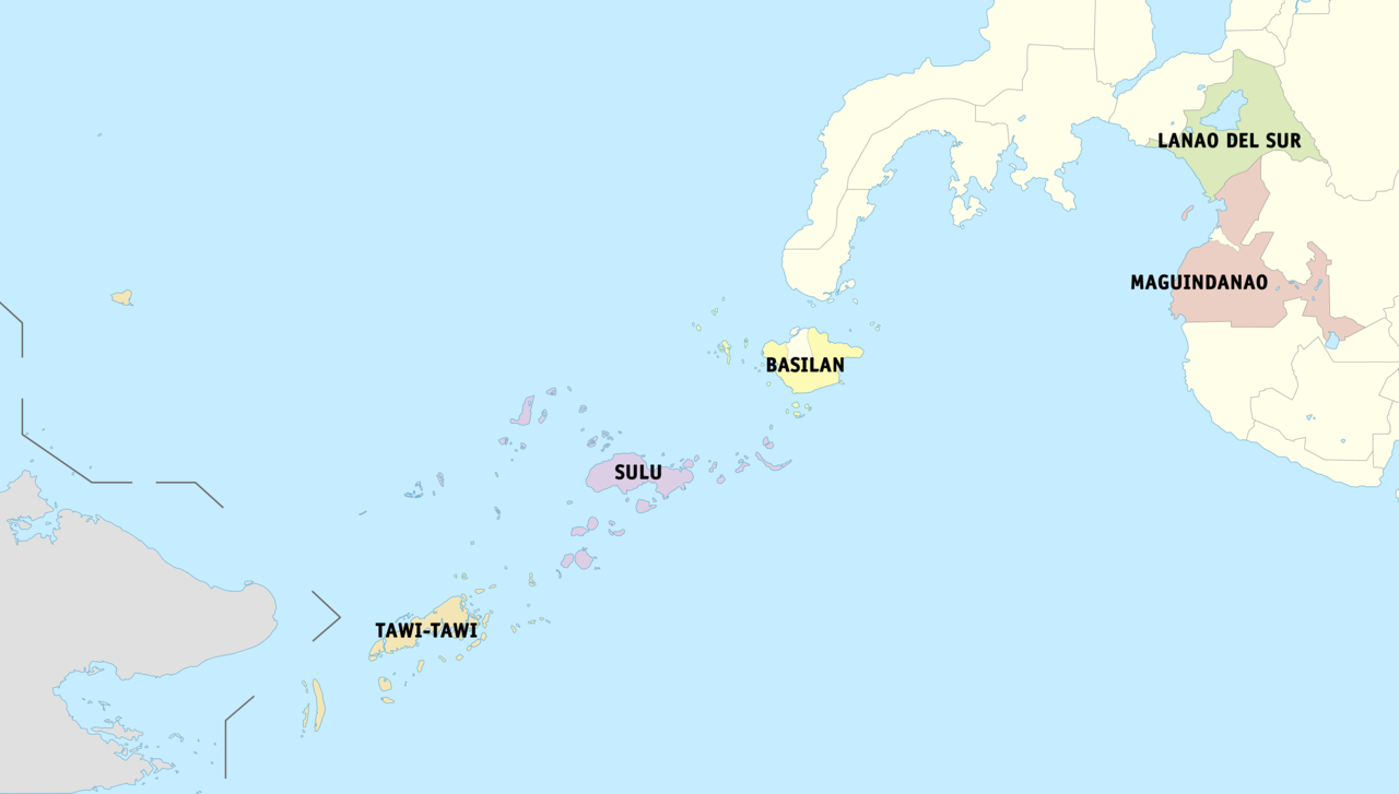
| 12:47, 21 January 2009 |  | 1,336 × 712 (68 KB) | File Upload Bot (Magnus Manske) | {{BotMoveToCommons|en.wikipedia}} {{Information |Description={{en|Political map of the en:Autonomous Region in Muslim Mindanao, en:Philippines. Showing en:Basilan, en:Lanao del Sur, en:Maguindanao, en:Shariff Kabunsuan, [[:e |
File usage
The following pages on the English Wikipedia use this file (pages on other projects are not listed):
Global file usage
The following other wikis use this file:
- Usage on az.wikipedia.org
- Usage on be.wikipedia.org
- Usage on ca.wikipedia.org
- Usage on ceb.wikipedia.org
- Usage on es.wikipedia.org
- Usage on fr.wikipedia.org
- Usage on gl.wikipedia.org
- Usage on id.wikipedia.org
- Usage on incubator.wikimedia.org
- Usage on ja.wikipedia.org
- Usage on ka.wikipedia.org
- Usage on mt.wikipedia.org
- Usage on nl.wikipedia.org
- Usage on pnb.wikipedia.org
- Usage on ru.wikipedia.org
- Usage on th.wikipedia.org
- Usage on tl.wikipedia.org
- Usage on tr.wikipedia.org
- Usage on ur.wikipedia.org
- Usage on vi.wikipedia.org
- Usage on war.wikipedia.org