Size of this preview: 800 × 533 pixels. Other resolutions: 320 × 213 pixels | 640 × 426 pixels | 1,024 × 682 pixels | 1,226 × 817 pixels.
Original file (1,226 × 817 pixels, file size: 168 KB, MIME type: image/jpeg)
| This is a file from the Wikimedia Commons. Information from its description page there is shown below. Commons is a freely licensed media file repository. You can help. |
| Description |
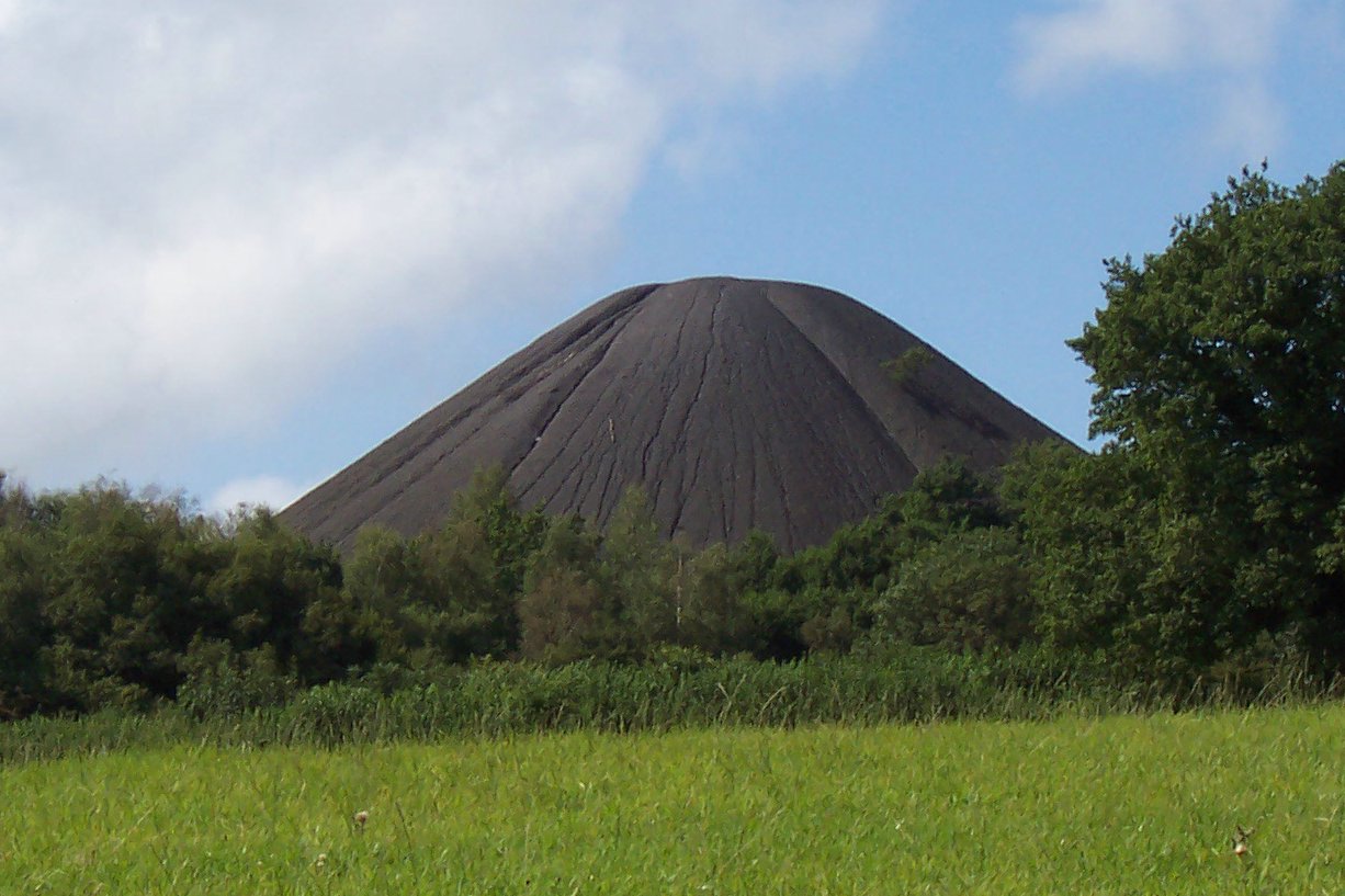
English: The slag heap in Paulton, Bath and North East Somerset, UK; referred to locally as "The Batch". |
| Date | 1 September 2006 (original upload date) |
| Source | Transferred from en.wikipedia to Commons. |
| Author | Stuz at English Wikipedia |
| Camera location | | View this and other nearby images on: OpenStreetMap |
|---|
Licensing
Stuz at the English-language Wikipedia, the copyright holder of this work, hereby publishes it under the following license:
| This file is licensed under the Creative Commons Attribution-Share Alike 3.0 Unported license. Subject to disclaimers. | ||
| Attribution: Stuz at the English-language Wikipedia | ||
| ||
| This licensing tag was added to this file as part of the GFDL licensing update. |

|
Permission is granted to copy, distribute and/or modify this document under the terms of the GNU Free Documentation License, Version 1.2 or any later version published by the Free Software Foundation; with no Invariant Sections, no Front-Cover Texts, and no Back-Cover Texts. A copy of the license is included in the section entitled GNU Free Documentation License. Subject to disclaimers. |
Original upload log
The original description page was here. All following user names refer to en.wikipedia.
- 2006-09-01 16:26 Stuz 1226×817×??? (171845 bytes) The slag heap in Paulton, Bath and North East Somerset, UK; referred to locally as "The Batch".
File history
Click on a date/time to view the file as it appeared at that time.
| Date/Time | Thumbnail | Dimensions | User | Comment | |
|---|---|---|---|---|---|
| current | 03:22, 16 September 2008 | | 1,226 × 817 (168 KB) | Kicior99 | {{Information |Description= The Batch |Source= en.wiki |Date= 16/9/8 |Author= Stuz |Permission= GDFL |other_versions= }} <!--{{ImageUpload|basic}}--> |
File usage
The following pages on the English Wikipedia use this file (pages on other projects are not listed):
Global file usage
The following other wikis use this file:
- Usage on pl.wikipedia.org