
Size of this preview: 800 × 221 pixels. Other resolutions: 320 × 88 pixels | 640 × 177 pixels | 1,024 × 282 pixels | 1,280 × 353 pixels | 2,560 × 706 pixels | 8,828 × 2,435 pixels.
Original file (8,828 × 2,435 pixels, file size: 16.36 MB, MIME type: image/jpeg)
| This is a file from the Wikimedia Commons. Information from its description page there is shown below. Commons is a freely licensed media file repository. You can help. |
Summary
| Description |
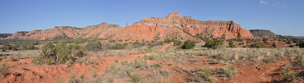
English: Capitol Peak along the Lighthouse Trail in Palo Duro Canyon State Park, Texas |
| Date | |
| Source | Own work |
| Author | Fredlyfish4 |
| Camera location | | View this and other nearby images on: OpenStreetMap |
|---|
Licensing
I, the copyright holder of this work, hereby publish it under the following license:
This file is licensed under the Creative Commons Attribution-Share Alike 3.0 Unported license.
- You are free:
- to share – to copy, distribute and transmit the work
- to remix – to adapt the work
- Under the following conditions:
- attribution – You must give appropriate credit, provide a link to the license, and indicate if changes were made. You may do so in any reasonable manner, but not in any way that suggests the licensor endorses you or your use.
- share alike – If you remix, transform, or build upon the material, you must distribute your contributions under the same or compatible license as the original.
| File created by Fredlyfish4 | |
| Permission is granted for use under CC BY-SA 4.0 (or a similar license) for this file created by the author.
Please let the author know if you use this work outside of Wikimedia projects by sending an email to
|
This image has been assessed using the Quality image guidelines and is considered a Quality image.
|
File history
Click on a date/time to view the file as it appeared at that time.
| Date/Time | Thumbnail | Dimensions | User | Comment | |
|---|---|---|---|---|---|
| current | 19:22, 2 May 2013 | 8,828 × 2,435 (16.36 MB) | Fredlyfish4 | User created page with UploadWizard |
File usage
The following pages on the English Wikipedia use this file (pages on other projects are not listed):
Global file usage
The following other wikis use this file:
- Usage on bg.wikipedia.org
- Usage on de.wikipedia.org
- Usage on el.wikipedia.org
- Usage on es.wikipedia.org
- Usage on fr.wikipedia.org
- Usage on pl.wikipedia.org