
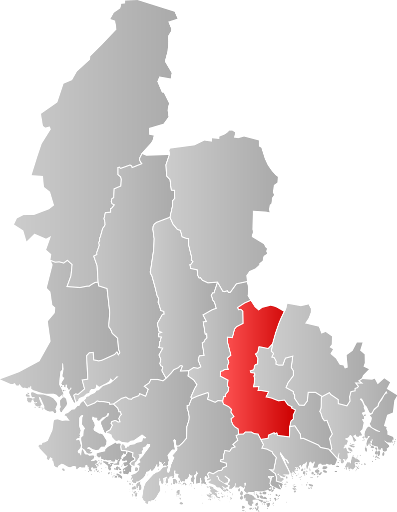
Size of this PNG preview of this SVG file: 465 × 599 pixels. Other resolutions: 186 × 240 pixels | 373 × 480 pixels | 596 × 768 pixels | 795 × 1,024 pixels | 1,590 × 2,048 pixels | 525 × 676 pixels.
Original file (SVG file, nominally 525 × 676 pixels, file size: 117 KB)
| This is a file from the Wikimedia Commons. Information from its description page there is shown below. Commons is a freely licensed media file repository. You can help. |
| Description | |||
| Date | |||
| Source | Own work | ||
| Author | Jon Harald Søby | ||
| Permission (Reusing this file) |
|
||
| SVG development |
File history
Click on a date/time to view the file as it appeared at that time.
| Date/Time | Thumbnail | Dimensions | User | Comment | |
|---|---|---|---|---|---|
| current | 19:10, 22 November 2020 | | 525 × 676 (117 KB) | Jay1279 | improve accuracy |
| 18:02, 22 January 2007 |  | 520 × 699 (73 KB) | Jon Harald Søby | {{User:Jon Harald Søby/Kartlisens|Marnardal|Vest-Agder}} |
File usage
The following pages on the English Wikipedia use this file (pages on other projects are not listed):
Global file usage
The following other wikis use this file:
- Usage on ar.wikipedia.org
- Usage on azb.wikipedia.org
- Usage on bpy.wikipedia.org
- Usage on ca.wikipedia.org
- Usage on eo.wikipedia.org
- Usage on es.wikipedia.org
- Usage on eu.wikipedia.org
- Usage on fa.wikipedia.org
- Usage on fi.wikipedia.org
- Usage on fr.wikipedia.org
- Usage on hu.wikipedia.org
- Usage on hy.wikipedia.org
- Usage on it.wikipedia.org
- Usage on ka.wikipedia.org
- Usage on la.wikipedia.org
- Usage on li.wikipedia.org
- Usage on nds.wikipedia.org
- Usage on nl.wikipedia.org
- Usage on nn.wikipedia.org
- Usage on no.wikipedia.org
- Usage on pl.wikipedia.org
- Usage on pnb.wikipedia.org
- Usage on pt.wikipedia.org
- Usage on ro.wikipedia.org
- Usage on ru.wikipedia.org
- Usage on sq.wikipedia.org
- Usage on sv.wikipedia.org
- Usage on th.wikipedia.org
- Usage on ur.wikipedia.org
- Usage on vi.wikipedia.org
- Usage on www.wikidata.org
- Usage on zh-min-nan.wikipedia.org