
Size of this PNG preview of this SVG file: 492 × 599 pixels. Other resolutions: 197 × 240 pixels | 394 × 480 pixels | 630 × 768 pixels | 840 × 1,024 pixels | 1,681 × 2,048 pixels | 701 × 854 pixels.
Original file (SVG file, nominally 701 × 854 pixels, file size: 9 KB)
| This is a file from the Wikimedia Commons. Information from its description page there is shown below. Commons is a freely licensed media file repository. You can help. |
Summary
| Description |
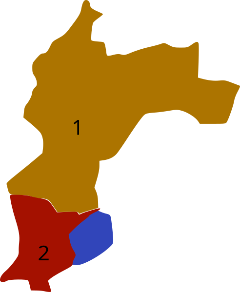
Español: Mapa Geomorfológico del municipio de Santa Ana:
|
| Date | |
| Source | Own work |
| Author | Juan Miguel |
Licensing
I, the copyright holder of this work, hereby publish it under the following license:
| This file is made available under the Creative Commons CC0 1.0 Universal Public Domain Dedication. | |
| The person who associated a work with this deed has dedicated the work to the public domain by waiving all of their rights to the work worldwide under copyright law, including all related and neighboring rights, to the extent allowed by law. You can copy, modify, distribute and perform the work, even for commercial purposes, all without asking permission.
|
File history
Click on a date/time to view the file as it appeared at that time.
| Date/Time | Thumbnail | Dimensions | User | Comment | |
|---|---|---|---|---|---|
| current | 03:07, 16 December 2011 | | 701 × 854 (9 KB) | Juan Miguel | Tercer intento de visualización de números. |
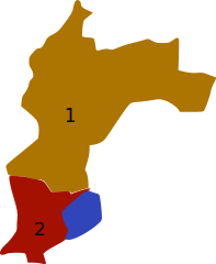
| 02:59, 16 December 2011 |  | 701 × 854 (9 KB) | Juan Miguel | Segundo intento de visualización de los números. | |
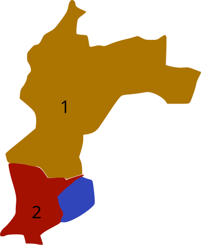
| 02:53, 16 December 2011 |  | 701 × 854 (8 KB) | Juan Miguel | Visualización de los números que en la versión anterior no se miraban. | |
| 02:48, 16 December 2011 |  | 701 × 854 (8 KB) | Juan Miguel |
File usage
The following pages on the English Wikipedia use this file (pages on other projects are not listed):
Global file usage
The following other wikis use this file:
- Usage on es.wikipedia.org
- Usage on sv.wikipedia.org