Size of this preview: 800 × 567 pixels. Other resolutions: 320 × 227 pixels | 640 × 454 pixels | 1,024 × 726 pixels | 1,280 × 908 pixels | 1,692 × 1,200 pixels.
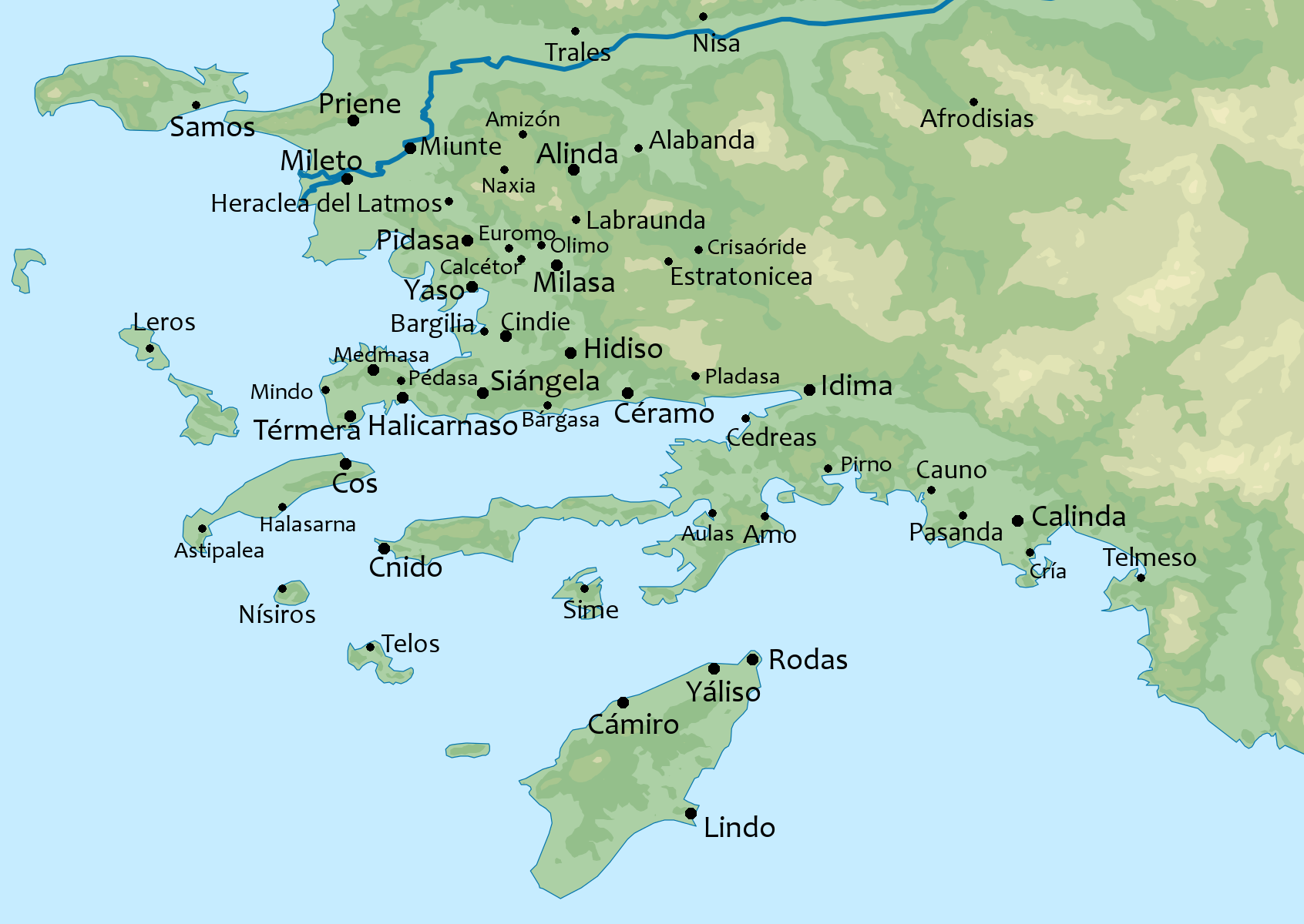
Original file (1,692 × 1,200 pixels, file size: 475 KB, MIME type: image/png)
| This is a file from the Wikimedia Commons. Information from its description page there is shown below. Commons is a freely licensed media file repository. You can help. |

|
File:MapaTopográficoDeAsiaMenor-Caria.svg is a vector version of this file. It should be used in place of this PNG file when not inferior.
File:MapaTopográficoDeAsiaMenor-Caria.png → File:MapaTopográficoDeAsiaMenor-Caria.svg
For more information, see Help:SVG. |
 |
Summary
| Description |
|
| Date | |
| Source | File:MapaTopográficoDeAsiaMenor.svg |
| Author | Original: Rowanwindwhistler . Obra derivada: Dodecaedro. |
Licensing
This file is licensed under the Creative Commons Attribution-Share Alike 4.0 International license.
- You are free:
- to share – to copy, distribute and transmit the work
- to remix – to adapt the work
- Under the following conditions:
- attribution – You must give appropriate credit, provide a link to the license, and indicate if changes were made. You may do so in any reasonable manner, but not in any way that suggests the licensor endorses you or your use.
- share alike – If you remix, transform, or build upon the material, you must distribute your contributions under the same or compatible license as the original.
File history
Click on a date/time to view the file as it appeared at that time.
| Date/Time | Thumbnail | Dimensions | User | Comment | |
|---|---|---|---|---|---|
| current | 10:03, 21 March 2016 | | 1,692 × 1,200 (475 KB) | Dodecaedro | Suprimo localizaciones de Telmiso y de Uranio puesto que parecen ofrecer dudas. |
| 22:39, 20 March 2016 |  | 1,692 × 1,200 (479 KB) | Dodecaedro | User created page with UploadWizard |
File usage
The following pages on the English Wikipedia use this file (pages on other projects are not listed):
Global file usage
The following other wikis use this file:
- Usage on ast.wikipedia.org
- Usage on it.wikipedia.org
- Usage on mk.wikipedia.org
- Usage on mt.wikipedia.org
- Usage on ta.wikipedia.org
- Usage on uk.wikipedia.org
- Usage on uz.wikipedia.org