
Size of this PNG preview of this SVG file: 800 × 318 pixels. Other resolutions: 320 × 127 pixels | 640 × 254 pixels | 1,024 × 407 pixels | 1,280 × 508 pixels | 2,560 × 1,017 pixels | 1,259 × 500 pixels.
Original file (SVG file, nominally 1,259 × 500 pixels, file size: 150 KB)
| This is a file from the Wikimedia Commons. Information from its description page there is shown below. Commons is a freely licensed media file repository. You can help. |
Summary
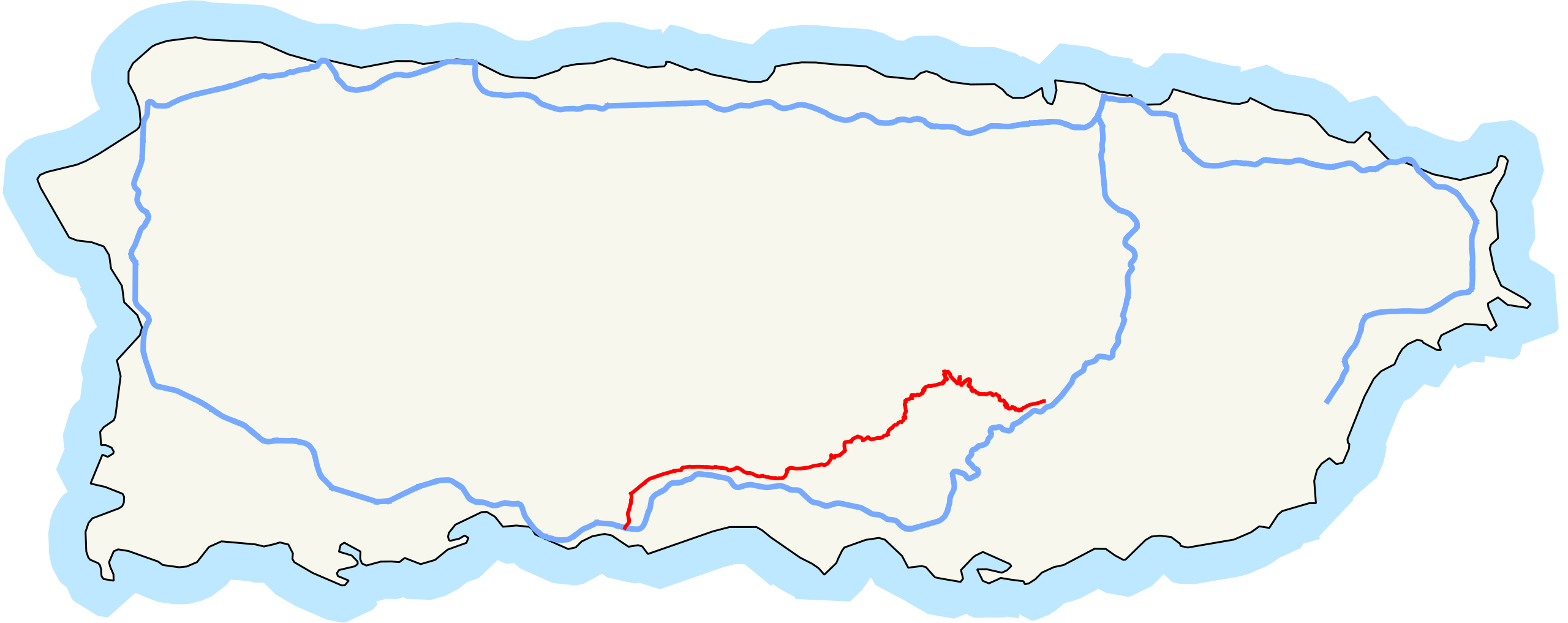
| Description | Map of Puerto Rico Highway 14. |
| Date | |
| Source | Own work |
| Author | Fredddie |
| SVG development |
Licensing
| I, the copyright holder of this work, release this work into the public domain. This applies worldwide. In some countries this may not be legally possible; if so: I grant anyone the right to use this work for any purpose, without any conditions, unless such conditions are required by law. |
File history
Click on a date/time to view the file as it appeared at that time.
| Date/Time | Thumbnail | Dimensions | User | Comment | |
|---|---|---|---|---|---|
| current | 16:25, 24 July 2010 | 1,259 × 500 (150 KB) | Fredddie | == {{int:filedesc}} == {{Information |Description= Map of Puerto Rico Highway 14. {{QGIS}}{{Inkscape}} |Source={{own}} |Date=2010-07-22 |Author=Fredddie |Permission= |other_versions= }} == {{int:license}} == {{PD-self}} [[Category:Road |
File usage
The following pages on the English Wikipedia use this file (pages on other projects are not listed):
Global file usage
The following other wikis use this file:
- Usage on www.wikidata.org