
Size of this PNG preview of this SVG file: 780 × 599 pixels. Other resolutions: 313 × 240 pixels | 625 × 480 pixels | 1,000 × 768 pixels | 1,280 × 983 pixels | 2,560 × 1,967 pixels | 984 × 756 pixels.
Original file (SVG file, nominally 984 × 756 pixels, file size: 368 KB)
| This is a file from the Wikimedia Commons. Information from its description page there is shown below. Commons is a freely licensed media file repository. You can help. |
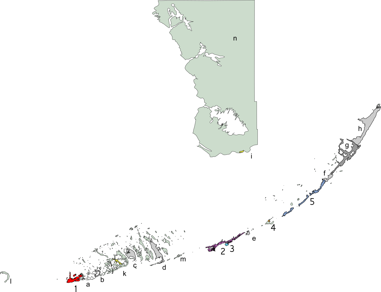
Created using coordinate data from US Census Bureau in combination with other sources modified in accordance with incorporation data from 2000-2005 in Adobe Illustrator.

|
Permission is granted to copy, distribute and/or modify this document under the terms of the GNU Free Documentation License, Version 1.2 or any later version published by the Free Software Foundation; with no Invariant Sections, no Front-Cover Texts, and no Back-Cover Texts. A copy of the license is included in the section entitled GNU Free Documentation License. |
| This file is licensed under the Creative Commons Attribution-Share Alike 3.0 Unported license. | ||
| ||
| This licensing tag was added to this file as part of the GFDL licensing update. |
File history
Click on a date/time to view the file as it appeared at that time.
| Date/Time | Thumbnail | Dimensions | User | Comment | |
|---|---|---|---|---|---|
| current | 21:27, 18 January 2006 | | 984 × 756 (368 KB) | Bastique | Reverted to earlier revision |
| 21:25, 18 January 2006 |  | 1,016 × 822 (900 KB) | Bastique | Added Big Cypress National Preserve and John Pennekamp Coral Reef State Park | |
| 07:37, 18 January 2006 |  | 984 × 756 (368 KB) | Bastique | Goof on the lettering | |
| 07:28, 18 January 2006 |  | 984 × 756 (368 KB) | Bastique | Created using coordinate data from US Census Bureau in combination with other sources modified in accordance with incorporation data from 2000-2005 in Adobe Illustrator. {{GDFL}} Category:Maps of Florida [[Categor |
File usage
The following pages on the English Wikipedia use this file (pages on other projects are not listed):
Global file usage
The following other wikis use this file:
- Usage on fr.wikipedia.org
- Usage on it.wikipedia.org
- Usage on ja.wikipedia.org
- Usage on pt.wikipedia.org
- Usage on ro.wikipedia.org