
Size of this PNG preview of this SVG file: 610 × 599 pixels. Other resolutions: 244 × 240 pixels | 489 × 480 pixels | 782 × 768 pixels | 1,043 × 1,024 pixels | 2,085 × 2,048 pixels | 902 × 886 pixels.
Original file (SVG file, nominally 902 × 886 pixels, file size: 1.83 MB)
| This is a file from the Wikimedia Commons. Information from its description page there is shown below. Commons is a freely licensed media file repository. You can help. |
Summary
| Description |
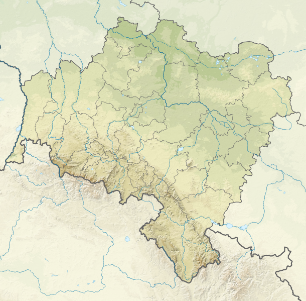
English: Relief location map of Lower Silesian Voivodeship, Poland. Geographic limits of the map:
|
| Date | |
| Source |
Own work
|
| Author | SANtosito |
| Other versions |
|

Licensing
I, the copyright holder of this work, hereby publish it under the following license:
This file is licensed under the Creative Commons Attribution-Share Alike 4.0 International license.
- You are free:
- to share – to copy, distribute and transmit the work
- to remix – to adapt the work
- Under the following conditions:
- attribution – You must give appropriate credit, provide a link to the license, and indicate if changes were made. You may do so in any reasonable manner, but not in any way that suggests the licensor endorses you or your use.
- share alike – If you remix, transform, or build upon the material, you must distribute your contributions under the same or compatible license as the original.
File history
Click on a date/time to view the file as it appeared at that time.
| Date/Time | Thumbnail | Dimensions | User | Comment | |
|---|---|---|---|---|---|
| current | 03:23, 17 September 2018 | | 902 × 886 (1.83 MB) | SANtosito | Correct projection and borders corrected |
| 20:29, 21 April 2018 |  | 2,449 × 2,386 (3.76 MB) | SANtosito | User created page with UploadWizard |
File usage
The following pages on the English Wikipedia use this file (pages on other projects are not listed):
- Głogów
- Jelenia Góra
- Lake Leśnia
- Legnica
- Lubin
- Mietkowskie Lake
- Sněžka
- Sosnówka (lake)
- Słup Lake
- Wałbrzych
- Wielka Sowa
- Wrocław
- Ślęża
- User:IDK1213safasx/sandbox
- Module:Location map/data/Lower Silesian Voivodeship
- Module:Location map/data/Poland Lower Silesian Voivodeship
- Module:Location map/data/Poland Lower Silesian Voivodeship/doc
Global file usage
The following other wikis use this file:
- Usage on bn.wikipedia.org
- Usage on de.wikipedia.org
- Schlesiertalsperre
- Marklissa-Talsperre
- Talsperre Goldentraum
- Bobertalsperre
- Wölfelsgrunder Talsperre
- Burg Świny
- Lomnitztalsperre
- Ślęża
- Żórawina
- Glatzer Schneeberg
- Szrenica
- Wielka Sowa
- Szczeliniec Wielki
- Burg Chojnik
- Burg Ronow
- Krzyżna Góra
- Burg Świecie
- Chełmiec (Berg)
- Hohe Mense
- Burg Szczerba
- Góra Parkowa (Bielawa)
- Burg Nowy Dwór
- Burg Tzschocha
- Niedów-Stausee
- Dreiradenmühle
- Jezioro Paczkowskie
- Wysoki Kamień
- Burg Leśna
- Zackelfall
- Maria Mutter der Kirche (Dzierżoniów)
- Wysoka Kopa
- Sokolik
- Chojnik (Berg)
- Smogornia
- Mannsteine
- Mädelsteine
- Kleine Sturmhaube
- Große Sturmhaube (Riesengebirge)
- Kleine Koppe
- Schwarze Koppe
- Wielki Staw
- Mały Staw
- Hraniční hřeben
- Kleines Rad
- Czoło (Riesengebirge)
- Wołowa Góra
- Schronisko Strzecha Akademicka
View more global usage of this file.