
Size of this preview: 800 × 600 pixels. Other resolutions: 320 × 240 pixels | 640 × 480 pixels | 1,024 × 768 pixels | 1,280 × 960 pixels | 2,560 × 1,920 pixels | 3,648 × 2,736 pixels.
Original file (3,648 × 2,736 pixels, file size: 2.03 MB, MIME type: image/jpeg)
| This is a file from the Wikimedia Commons. Information from its description page there is shown below. Commons is a freely licensed media file repository. You can help. |
Summary
| Description |
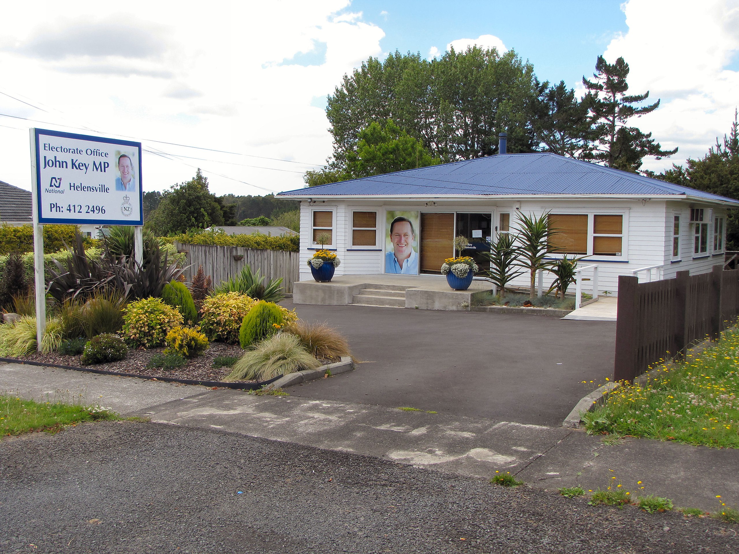
English: Electorate office of John Key, MP for Helensville and Prime Minister, New Zealand. Located between Waimauku and Huapai on State Highway 16. |
| Date | |
| Source | Own work |
| Author | Gadfium |
| Object location | | View this and other nearby images on: OpenStreetMap |
|---|
Licensing
| I, the copyright holder of this work, release this work into the public domain. This applies worldwide. In some countries this may not be legally possible; if so: I grant anyone the right to use this work for any purpose, without any conditions, unless such conditions are required by law. |
File history
Click on a date/time to view the file as it appeared at that time.
| Date/Time | Thumbnail | Dimensions | User | Comment | |
|---|---|---|---|---|---|
| current | 01:07, 6 January 2009 | | 3,648 × 2,736 (2.03 MB) | Gadfium | {{Information |Description={{en|1=Electorate office of John Key, MP for Helensville and Prime Minister, New Zealand. Located between Waimauku and Huapai on State Highway 16.}} |Source=Own work |Author=Gadfium |Date=6 January 2009 |Permiss |
File usage
The following pages on the English Wikipedia use this file (pages on other projects are not listed):
Global file usage
The following other wikis use this file:
- Usage on www.wikidata.org