
Size of this preview: 800 × 600 pixels. Other resolutions: 320 × 240 pixels | 640 × 480 pixels | 1,024 × 768 pixels | 1,280 × 960 pixels | 2,560 × 1,920 pixels | 2,816 × 2,112 pixels.
Original file (2,816 × 2,112 pixels, file size: 2.27 MB, MIME type: image/jpeg)
| This is a file from the Wikimedia Commons. Information from its description page there is shown below. Commons is a freely licensed media file repository. You can help. |
|
This is an image of a place or building that is listed on the National Register of Historic Places in the United States of America. Its reference number is 89000776. |
| Camera location | | View this and other nearby images on: OpenStreetMap |
|---|
| Description |
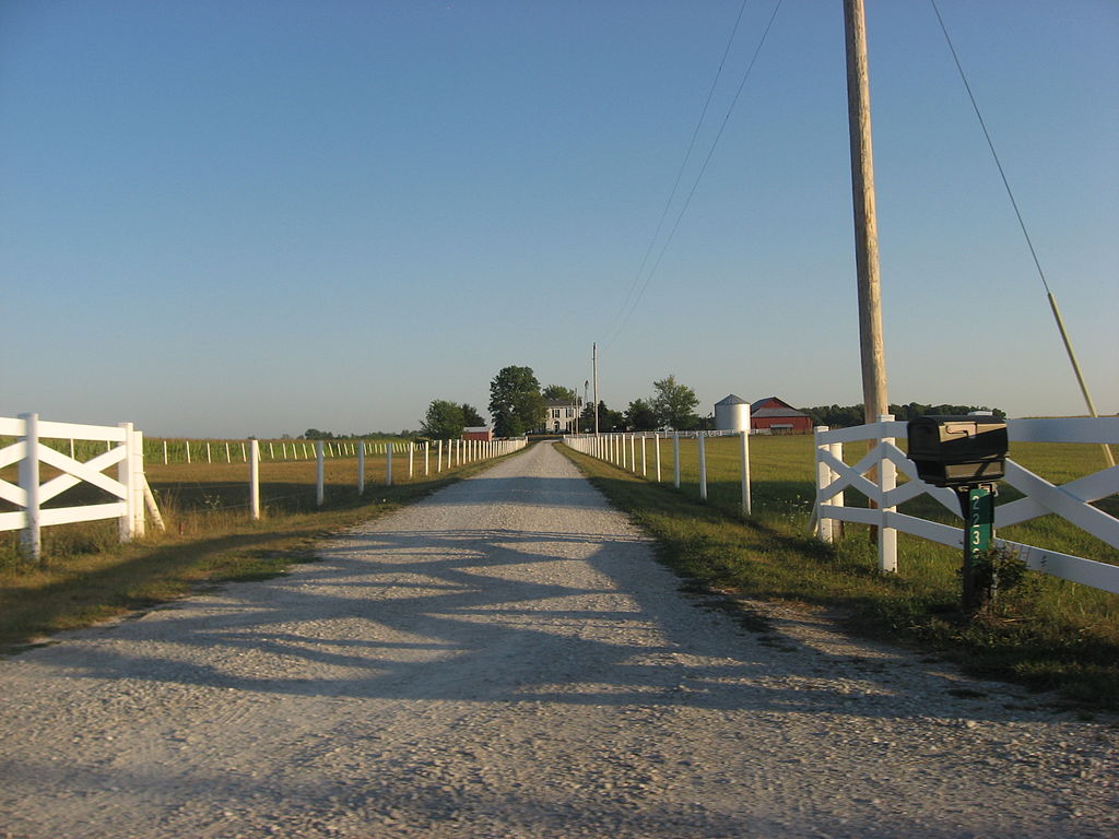
English: Driveway view of the Jabez Reeves Farmstead, located at 2239 W900N east of Carthage in Center Township, Rush County, Indiana, United States. Built in 1855, the farmhouse is the core of the farmstead, which composes a historic district that is listed on the National Register of Historic Places. |
||
| Date | Taken on 1 August 2012 | ||
| Source | Own work | ||
| Author | Nyttend | ||
| Permission (Reusing this file) |
|
File history
Click on a date/time to view the file as it appeared at that time.
| Date/Time | Thumbnail | Dimensions | User | Comment | |
|---|---|---|---|---|---|
| current | 12:08, 6 August 2012 | | 2,816 × 2,112 (2.27 MB) | Nyttend | {{NRHP|89000776}} {{Location|39|44|25|N|85|29|21|W}} {{Information |Description={{en|Driveway view of the {{w|Jabez Reeves Farmstead}}, located at 2239 W900N east of {{w|Carthage, Indiana|Carthage}} in {{w|Center Township, Rush County, Indiana|Center T... |
File usage
The following pages on the English Wikipedia use this file (pages on other projects are not listed):
Global file usage
The following other wikis use this file:
- Usage on www.wikidata.org