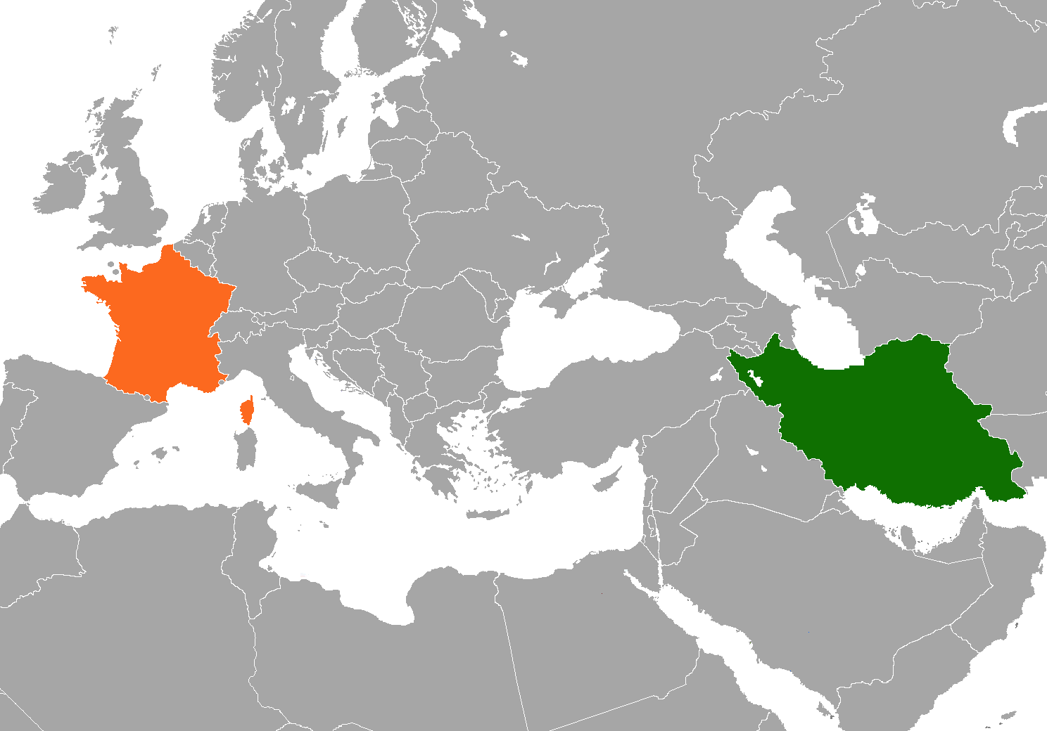
Size of this preview: 800 × 559 pixels. Other resolutions: 320 × 224 pixels | 640 × 447 pixels | 1,024 × 716 pixels | 1,280 × 895 pixels | 1,488 × 1,040 pixels.
Original file (1,488 × 1,040 pixels, file size: 103 KB, MIME type: image/png)
| This is a file from the Wikimedia Commons. Information from its description page there is shown below. Commons is a freely licensed media file repository. You can help. |
Summary
| Description | A map of en:France and w:en:Iran in relation of each other |
| Date | Unknown date |
| Source | Own work |
| Author | ChrisDHDR |
Licensing
| I, the copyright holder of this work, release this work into the public domain. This applies worldwide. In some countries this may not be legally possible; if so: I grant anyone the right to use this work for any purpose, without any conditions, unless such conditions are required by law. |
File history
Click on a date/time to view the file as it appeared at that time.
| Date/Time | Thumbnail | Dimensions | User | Comment | |
|---|---|---|---|---|---|
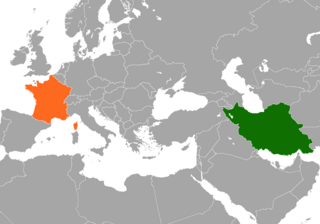
| current | 18:04, 6 November 2021 | | 1,488 × 1,040 (103 KB) | Aquintero82 | Updated color |
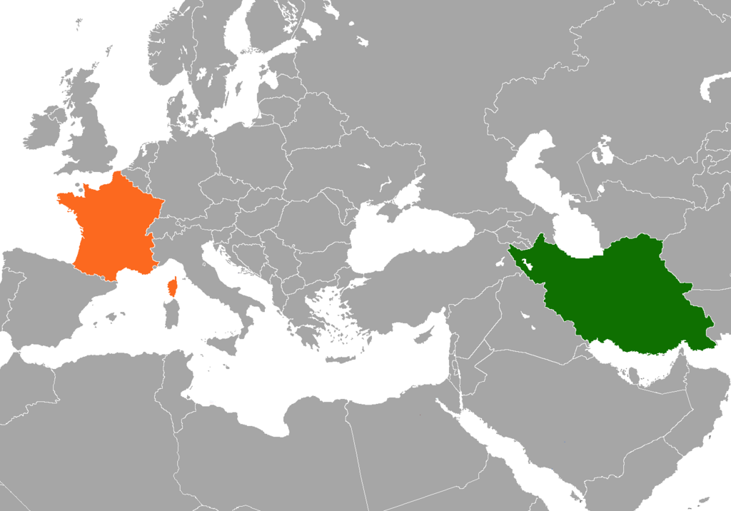
| 04:54, 23 August 2017 |  | 1,488 × 1,040 (63 KB) | Fobos92 | . | |
| 12:00, 31 October 2007 |  | 294 × 142 (6 KB) | ChrisDHDR | changed colours to those defined at en:w:Template:bilateral + focused on subject | |
| 10:59, 6 September 2007 |  | 1,425 × 625 (31 KB) | ChrisDHDR | {{Information |Description=A map of w:en:France and w:en:Iran in relation of each other |Source=self-made |Date= |Author= ChrisDHDR }} |
File usage
No pages on the English Wikipedia use this file (pages on other projects are not listed).
Global file usage
The following other wikis use this file:
- Usage on ar.wikipedia.org
- Usage on es.wikipedia.org
- Usage on fa.wikipedia.org
- Usage on fa.wikiquote.org
- Usage on fr.wikipedia.org
- Wikipédia:Lumière sur/Septembre 2006
- Wikipédia:Lumière sur/Relations entre la France et l'Iran
- Portail:Relations internationales/Lumière sur...
- Wikipédia:Sélection/Politique française
- Portail:Asie/Lumière sur…/Articles de qualité
- Wikipédia:Sélection/France/Articles de qualité/L à Z
- Wikipédia:Sélection/Iran
- Usage on pt.wikipedia.org
- Usage on zh.wikipedia.org