No higher resolution available.
Dune_front_-_geograph.org.uk_-_1022731.jpg (640 × 480 pixels, file size: 91 KB, MIME type: image/jpeg)
| This is a file from the Wikimedia Commons. Information from its description page there is shown below. Commons is a freely licensed media file repository. You can help. |
Summary
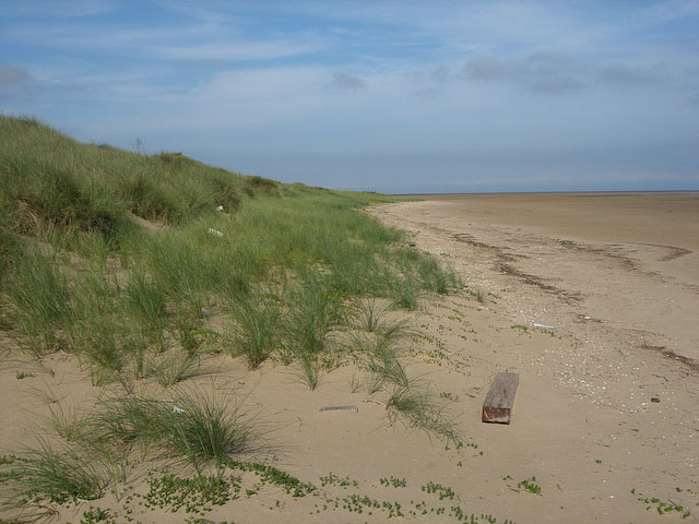
| Description |
English: Dune front The dunes have previously been eroded and are now accreting through wind blown sand being trapped by Marram Grass, which grows as the sand builds up. There is the expected set of organic and plastic human waste on what is otherwise probably one of the least disturbed areas of coastline in Norfolk. |
| Date | |
| Source | From geograph.org.uk |
| Author | Hugh Venables |
| Attribution (required by the license) | Hugh Venables / Dune front / |
| Camera location | | View this and other nearby images on: OpenStreetMap |
|---|
_heading:337.00&language=en)
| Object location | | View this and other nearby images on: OpenStreetMap |
|---|
_heading:337.00&language=en)
Licensing

|
This image was taken from the Geograph project collection. See this photograph's page on the Geograph website for the photographer's contact details. The copyright on this image is owned by Hugh Venables and is licensed for reuse under the Creative Commons Attribution-ShareAlike 2.0 license.
|
This file is licensed under the Creative Commons Attribution-Share Alike 2.0 Generic license.
Attribution: Hugh Venables
- You are free:
- to share – to copy, distribute and transmit the work
- to remix – to adapt the work
- Under the following conditions:
- attribution – You must give appropriate credit, provide a link to the license, and indicate if changes were made. You may do so in any reasonable manner, but not in any way that suggests the licensor endorses you or your use.
- share alike – If you remix, transform, or build upon the material, you must distribute your contributions under the same or compatible license as the original.
File history
Click on a date/time to view the file as it appeared at that time.
| Date/Time | Thumbnail | Dimensions | User | Comment | |
|---|---|---|---|---|---|
| current | 14:00, 23 February 2011 | | 640 × 480 (91 KB) | GeographBot | == {{int:filedesc}} == {{Information |description={{en|1=Dune front The dunes have previously been eroded and are now accreting through wind blown sand being trapped by Marram Grass, which grows as the sand builds up. There is the expected set of organic |
File usage
The following pages on the English Wikipedia use this file (pages on other projects are not listed):