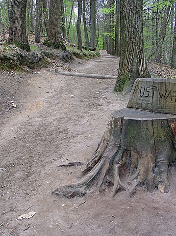
Size of this preview: 449 × 600 pixels. Other resolutions: 180 × 240 pixels | 359 × 480 pixels | 840 × 1,122 pixels.
Original file (840 × 1,122 pixels, file size: 354 KB, MIME type: image/jpeg)
| This is a file from the Wikimedia Commons. Information from its description page there is shown below. Commons is a freely licensed media file repository. You can help. |
Summary
| Description |
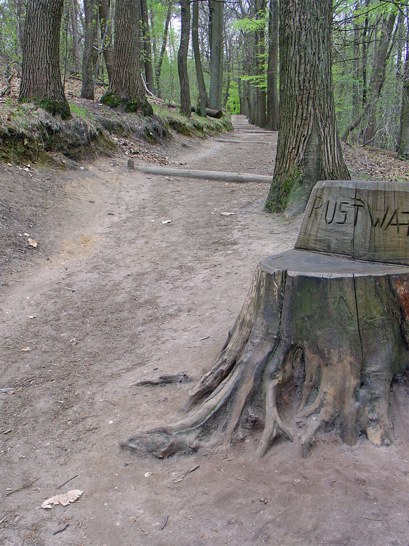
Nederlands: Zicht op een deel van het natuurgebied de Duivelsberg |
| Date | |
| Source | Own work |
| Author | Gouwenaar |
| Camera location | | View this and other nearby images on: OpenStreetMap |
|---|
Licensing
| I, the copyright holder of this work, release this work into the public domain. This applies worldwide. In some countries this may not be legally possible; if so: I grant anyone the right to use this work for any purpose, without any conditions, unless such conditions are required by law. |
File history
Click on a date/time to view the file as it appeared at that time.
| Date/Time | Thumbnail | Dimensions | User | Comment | |
|---|---|---|---|---|---|
| current | 09:33, 19 June 2009 | | 840 × 1,122 (354 KB) | Gouwenaar | {{Information |Description= {{nl|De Duivelsberg}} |Source=eigen werk (own work) |Date= 2007-04-18 |Author=Gouwenaar |Permission= |other_versions= }} Category:Ubbergen Category:Groesbeek <!--{{ImageUpload|basic}}--> |
File usage
The following pages on the English Wikipedia use this file (pages on other projects are not listed):
Global file usage
The following other wikis use this file:
- Usage on ar.wikipedia.org
- Usage on arz.wikipedia.org
- Usage on de.wikipedia.org
- Usage on it.wikipedia.org
- Usage on lld.wikipedia.org
- Usage on nl.wikipedia.org
- Usage on www.wikidata.org