
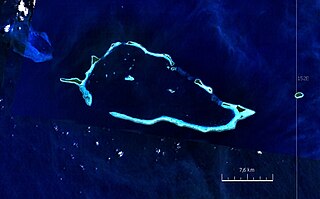
Size of this preview: 800 × 496 pixels. Other resolutions: 320 × 199 pixels | 640 × 397 pixels | 883 × 548 pixels.
Original file (883 × 548 pixels, file size: 289 KB, MIME type: image/jpeg)
| This is a file from the Wikimedia Commons. Information from its description page there is shown below. Commons is a freely licensed media file repository. You can help. |
Summary
| Description |
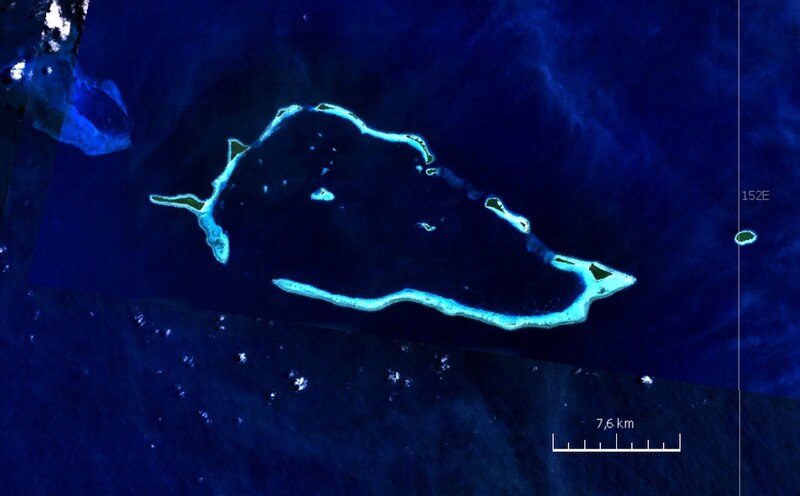
English: Satellite image of Conflict Group atoll, Papua New Guinea |
| Date | 2000s |
| Source | NASA World Wind screen shot |
| Author | NASA |
Licensing
| This image is in the public domain because it is a screenshot from NASA’s globe software World Wind using a public domain layer, such as Blue Marble, MODIS, Landsat, SRTM, USGS or GLOBE.
|
 |
File history
Click on a date/time to view the file as it appeared at that time.
| Date/Time | Thumbnail | Dimensions | User | Comment | |
|---|---|---|---|---|---|
| current | 20:52, 24 August 2010 | | 883 × 548 (289 KB) | Ratzer | {{Information |Description={{en|1=Satellite image of Conflict Group atoll, Papua New Guinea}} |Source=NASA World Wind screen shot |Author=NASA |Date=2000s |Permission= |other_versions= }} Category:Satellite pictures of Papua New Guinea [[Category:Lou |
File usage
The following pages on the English Wikipedia use this file (pages on other projects are not listed):
Global file usage
The following other wikis use this file:
- Usage on ceb.wikipedia.org
- Usage on de.wikipedia.org
- Usage on nl.wikipedia.org
- Usage on te.wikipedia.org
- Usage on www.wikidata.org