
Size of this PNG preview of this SVG file: 569 × 599 pixels. Other resolutions: 228 × 240 pixels | 456 × 480 pixels | 729 × 768 pixels | 972 × 1,024 pixels | 1,944 × 2,048 pixels | 1,142 × 1,203 pixels.
Original file (SVG file, nominally 1,142 × 1,203 pixels, file size: 294 KB)
| This is a file from the Wikimedia Commons. Information from its description page there is shown below. Commons is a freely licensed media file repository. You can help. |
Summary
| Description |
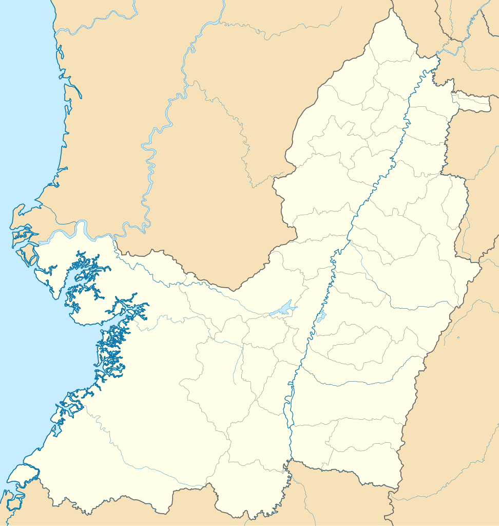
English: Location map of Valle del Cauca
Equirectangular projection. Geographic limits of the map:
Español: Mapa localizador del Valle del Cauca |
| Date | |
| Source | Own work |
| Author | Milenioscuro |
Licensing
I, the copyright holder of this work, hereby publish it under the following license:
This file is licensed under the Creative Commons Attribution-Share Alike 3.0 Unported license.
- You are free:
- to share – to copy, distribute and transmit the work
- to remix – to adapt the work
- Under the following conditions:
- attribution – You must give appropriate credit, provide a link to the license, and indicate if changes were made. You may do so in any reasonable manner, but not in any way that suggests the licensor endorses you or your use.
- share alike – If you remix, transform, or build upon the material, you must distribute your contributions under the same or compatible license as the original.
File history
Click on a date/time to view the file as it appeared at that time.
| Date/Time | Thumbnail | Dimensions | User | Comment | |
|---|---|---|---|---|---|
| current | 13:44, 16 July 2015 | | 1,142 × 1,203 (294 KB) | Milenioscuro | corrijo fronteras, curso de ríos, etc |
| 20:08, 5 June 2012 |  | 1,067 × 1,136 (349 KB) | Milenioscuro | limits according to official maps | |
| 00:35, 27 December 2011 |  | 1,067 × 1,136 (325 KB) | Milenioscuro | layers, borders, and other changes | |
| 18:54, 12 August 2011 |  | 1,067 × 1,136 (302 KB) | Milenioscuro | arreglos | |
| 05:24, 22 July 2011 |  | 1,067 × 1,136 (300 KB) | Milenioscuro | standardization | |
| 17:30, 21 July 2011 |  | 1,067 × 1,136 (325 KB) | Milenioscuro | {{Information |Description ={{en|1=Location map of Valle del Cauca}} {{es|1=Mapa localizador del Valle del Cauca}} |Source ={{own}} |Author =[[User:Shadowxfox|Shadowx |
File usage
The following pages on the English Wikipedia use this file (pages on other projects are not listed):
- Alfonso Bonilla Aragón International Airport
- Bajo Calima
- Buenaventura, Valle del Cauca
- Cisneros, Valle del Cauca
- El Tigre, Buenaventura
- Juanchaco
- Ladrilleros
- Puerto Merizalde
- San Antonio, Buenaventura
- San Francisco de Naya
- Silva, Colombia
- Module:Location map/data/Colombia Valle del Cauca Department
- Module:Location map/data/Colombia Valle del Cauca Department/doc
Global file usage
The following other wikis use this file:
- Usage on bg.wikipedia.org
- Usage on de.wikipedia.org
- Usage on es.wikipedia.org
- Usage on fa.wikipedia.org
- Usage on fr.wikipedia.org
- Usage on he.wikipedia.org
- Usage on hu.wikipedia.org
- Usage on kbd.wikipedia.org
- Usage on os.wikipedia.org
- Usage on pl.wikipedia.org
- Palmira (miasto w Kolumbii)
- Buenaventura
- Cali
- Cartago (Kolumbia)
- Buga
- Port lotniczy Alfonso Bonilla Aragón
- Port lotniczy Buenaventura
- Szablon:Państwo dane Valle del Cauca
- Archidiecezja Cali
- Diecezja Palmira
- Estadio Olímpico Pascual Guerrero
- Estadio Doce de Octubre
- Metropolia Cali
- Port lotniczy Santa Ana (Kolumbia)
- Moduł:Mapa/dane/Valle del Cauca
- Moduł:Mapa/dane/CO-VAC
- Usage on pl.wikibooks.org
- Usage on ru.wikipedia.org
- Usage on si.wikipedia.org
- Usage on tr.wikipedia.org
- Usage on uz.wikipedia.org
View more global usage of this file.