
Size of this PNG preview of this SVG file: 800 × 555 pixels. Other resolutions: 320 × 222 pixels | 640 × 444 pixels | 1,024 × 710 pixels | 1,280 × 887 pixels | 2,560 × 1,775 pixels | 1,796 × 1,245 pixels.
Original file (SVG file, nominally 1,796 × 1,245 pixels, file size: 601 KB)
| This is a file from the Wikimedia Commons. Information from its description page there is shown below. Commons is a freely licensed media file repository. You can help. |
Summary
| Description |
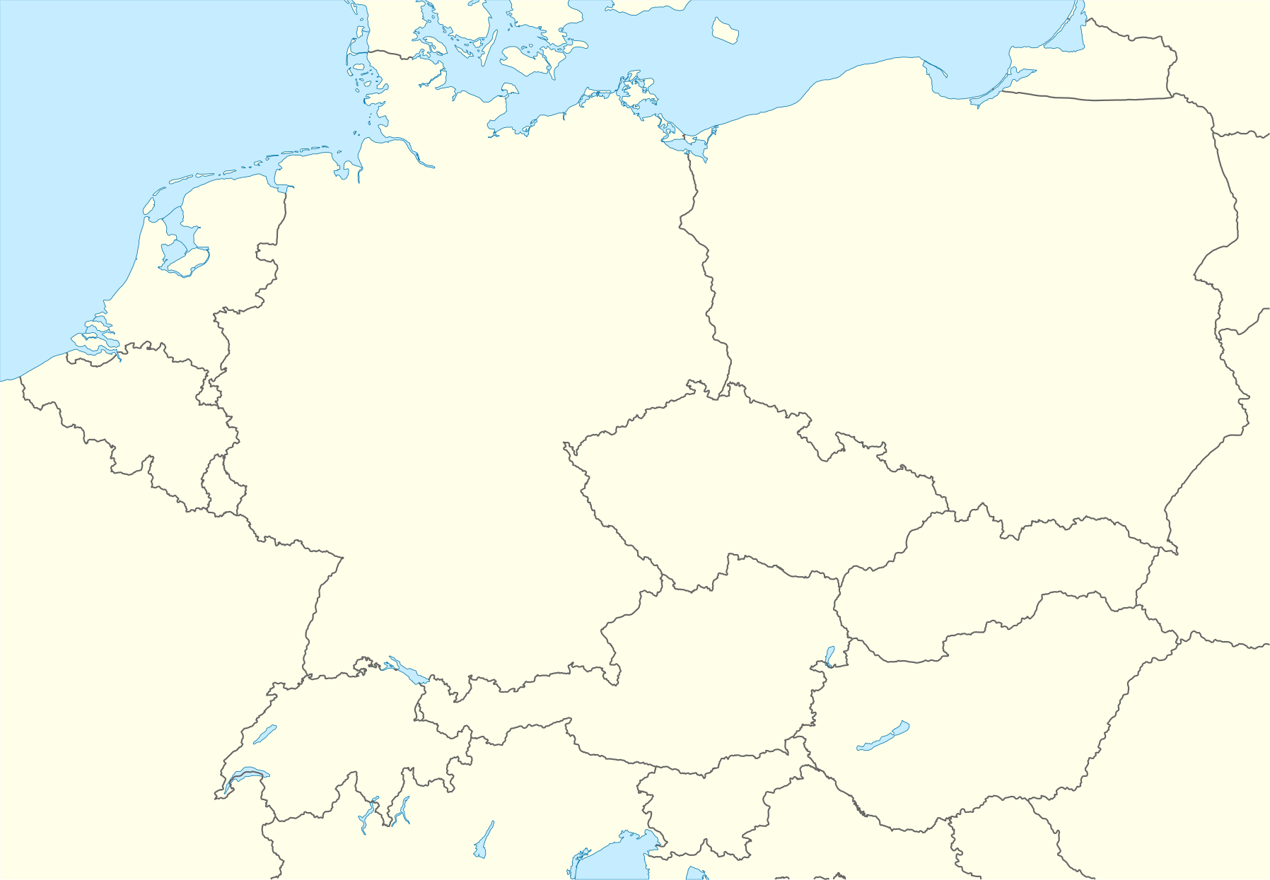
Deutsch: Positionskarte von Mitteleuropa
Quadratische Plattkarte, N-S-Streckung 150 %. Geographische Begrenzung der Karte:
English: Location map of Central Europe
Equirectangular projection, N/S stretching 150 %. Geographic limits of the map:
|
||
| Date | |||
| Source | Own work using: World Data Base II data | ||
| Author | NordNordWest | ||
| SVG development |
|

Licensing
I, the copyright holder of this work, hereby publish it under the following licenses:

|
Permission is granted to copy, distribute and/or modify this document under the terms of the GNU Free Documentation License, Version 1.2 or any later version published by the Free Software Foundation; with no Invariant Sections, no Front-Cover Texts, and no Back-Cover Texts. A copy of the license is included in the section entitled GNU Free Documentation License. |
This file is licensed under the Creative Commons Attribution-Share Alike 3.0 Unported license.
- You are free:
- to share – to copy, distribute and transmit the work
- to remix – to adapt the work
- Under the following conditions:
- attribution – You must give appropriate credit, provide a link to the license, and indicate if changes were made. You may do so in any reasonable manner, but not in any way that suggests the licensor endorses you or your use.
- share alike – If you remix, transform, or build upon the material, you must distribute your contributions under the same or compatible license as the original.
You may select the license of your choice.
File history
Click on a date/time to view the file as it appeared at that time.
| Date/Time | Thumbnail | Dimensions | User | Comment | |
|---|---|---|---|---|---|
| current | 15:53, 28 September 2008 | | 1,796 × 1,245 (601 KB) | NordNordWest | == Beschreibung == {{Information |Description= {{de|Positionskarte von Mitteleuropa}} Quadratische Plattkarte, N-S-Streckung 150 %. Geographische Begrenzung der Karte: * N: 55.5° N * S: 45.2° N * W: 2.2° O * O: 24.5° O {{en|Locati |
File usage
The following pages on the English Wikipedia use this file (pages on other projects are not listed):
- 2012 European Trophy
- 2013 European Trophy
- 2021–22 Alpe Adria Cup
- 2024 European Women's Handball Championship
- 2024 European Women's Handball Championship bidding process
- Battle of Hochkirch
- Battle of Soor
- Bystrianska Cave
- List of burial places of classical musicians
- List of temples of the Church of Jesus Christ of Latter-day Saints by geographic region
- PDC European Tour
- Physikalisch-Technische Bundesanstalt
- Plopsa
- Siege of Vienna (1485)
- Siege of Wiener Neustadt
- Treblinka extermination camp
- War of the Austrian Succession
- Western Tatras
- User:Catfish Jim and the soapdish/map
- User:Gor1995/sandbox4
- User:Jacob Langeloh/sandbox
- User:Schwarzenbergika/sandbox
- Wikipedia:Graphics Lab/Map workshop/Archive/Nov 2015
- Module:Location map/data/Europe Central
- Module:Location map/data/Europe Central/doc
Global file usage
The following other wikis use this file:
- Usage on als.wikipedia.org
- Usage on an.wikipedia.org
- Luxemburgo (ciudat)
- Vaduz
- Schaan
- Triesenberg
- Planken
- Balzers
- Triesen
- Schellenberg
- Ruggell
- Mauren
- Eschen
- Gamprin
- Bendern
- Nendeln
- Schaanwald
- Mäls
- Mühleholz
- Hinterschellenberg
- Ebenholz
- Gaflei
- Malbun
- Steg (Liechtenstein)
- Silum
- Masescha
- Rotenboden
- Samina (Liechtenstein)
- Wangerberg
- Sücka
- Plantilla:Mapa de localización Europa Central
- Usage on ar.wikipedia.org
- Usage on az.wikipedia.org
- Usage on bg.wikipedia.org
- Usage on ceb.wikipedia.org
- Usage on cs.wikipedia.org
- Usage on da.wikipedia.org
View more global usage of this file.