
Original file (SVG file, nominally 1,606 × 1,109 pixels, file size: 339 KB)
| This is a file from the Wikimedia Commons. Information from its description page there is shown below. Commons is a freely licensed media file repository. You can help. |
Summary
| Description |
Deutsch: Positionskarte der Zentralafrikanischen Republik
Quadratische Plattkarte, N-S-Streckung 101 %. Geographische Begrenzung der Karte:
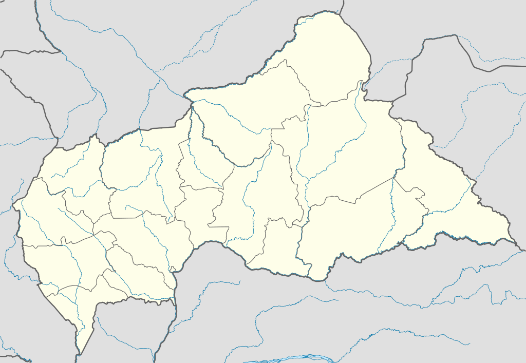
English: Location map of the Central African Republic
Equirectangular projection, N/S stretching 101 %. Geographic limits of the map:
|
|
| Date | ||
| Source |
Own work, using
|
|
| Author | NordNordWest | |
| Permission (Reusing this file) |
This file is licensed under the Creative Commons Attribution-Share Alike 3.0 Germany license.
 This file is licensed under the Creative Commons Attribution-Share Alike 3.0 Germany license.
|
|
| Other versions |
Derivative works of this file:
|


.svg)
.svg)
.svg)
.svg)
.svg)
.svg)
.svg)
.svg)
.svg)
.svg)
.svg)
.svg)
.svg)
.svg)
.svg)
.svg)

|
This map has been made or improved in the German Kartenwerkstatt (Map Lab). You can propose maps to improve as well.
|
File history
Click on a date/time to view the file as it appeared at that time.
| Date/Time | Thumbnail | Dimensions | User | Comment | |
|---|---|---|---|---|---|
| current | 17:59, 10 July 2011 | | 1,606 × 1,109 (339 KB) | NordNordWest | upd |
| 20:47, 5 December 2009 |  | 1,606 × 1,110 (556 KB) | NordNordWest | =={{int:filedesc}}== {{Information |Description= {{de|Positionskarte der Zentralafrikanischen Republik}} Quadratische Plattkarte, N-S-Streckung 101 %. Geographische Begrenzung der Karte: * N: 11.3° N * S: 2.0° N * W: |
File usage
More than 100 pages use this file. The following list shows the first 100 pages that use this file only. A full list is available.
- Alindao
- Alindao Airport
- Ancien Bakani
- Babassoua
- Bahamo
- Bakouma
- Bakouma Airport
- Bamango
- Bambari
- Bambari Airport
- Bangassou
- Bangassou Airport
- Banguele
- Bangui M'Poko International Airport
- Bankara
- Baoro
- Barthélemy Boganda Stadium
- Batangafo
- Batangafo Airport
- Benesa
- Berbérati
- Berbérati Airport
- Biami
- Bimbo, Central African Republic
- Birao
- Birao Airport
- Boali
- Bobangui
- Bobeke
- Bobili
- Bocaranga
- Bocaranga Airport
- Boda, Lobaye
- Bogboua
- Bohomandji
- Bonguele
- Bossangoa
- Bossangoa Airport
- Bossembélé
- Bossembélé Airport
- Botoko
- Botokoni
- Bouar
- Bouar Airport
- Boubanzegue
- Bouca
- Bouca Airport
- Boundara
- Bozoum
- Bozoum Airport
- Bria, Central African Republic
- Bria Airport
- Carnot, Central African Republic
- Carnot Airport
- Damara, Central African Republic
- Gambo, Central African Republic
- Gamboula
- Gbokopeteme
- Gordil Airport
- Gounda Airport
- Grimari
- Guen
- Ippy
- Kabo
- Kaga-Bandoro
- Karawa, Central African Republic
- Kembé
- Kouango
- Koumala Airport
- M'Boki Airport
- Mbaïki
- Mbokassa
- Mboma
- Mobaye
- Mobaye Mbanga Airport
- Mongoumba
- Mongounda
- N'Délé
- N'Délé Airport
- Ndimbi
- Nola, Central African Republic
- Obo
- Ouadda
- Ouadda Airport
- Ouanda Djallé
- Ouanda Djallé Airport
- Ouango, Mbomou
- Paoua
- Paoua Airport
- Pissa, Central African Republic
- Poste Airport
- Rafaï
- Rafaï Airport
- Sibut
- Sibut Airport
- Sinzongo
- Wabongo
- Yakoussou
- Yalinga Airport
- Zemio Airport
View more links to this file.
Global file usage
The following other wikis use this file:
- Usage on af.wikipedia.org
- Usage on am.wikipedia.org
- Usage on an.wikipedia.org
- Usage on ar.wikipedia.org
- Usage on ast.wikipedia.org
- Usage on azb.wikipedia.org
- Usage on az.wikipedia.org
- Usage on be.wikipedia.org
- Usage on bg.wikipedia.org
- Usage on bn.wikipedia.org
- Usage on bs.wikipedia.org
- Usage on ceb.wikipedia.org
View more global usage of this file.