
Size of this PNG preview of this SVG file: 424 × 600 pixels. Other resolutions: 170 × 240 pixels | 339 × 480 pixels | 543 × 768 pixels | 724 × 1,024 pixels | 1,448 × 2,048 pixels | 744 × 1,052 pixels.
Original file (SVG file, nominally 744 × 1,052 pixels, file size: 64 KB)
| This is a file from the Wikimedia Commons. Information from its description page there is shown below. Commons is a freely licensed media file repository. You can help. |
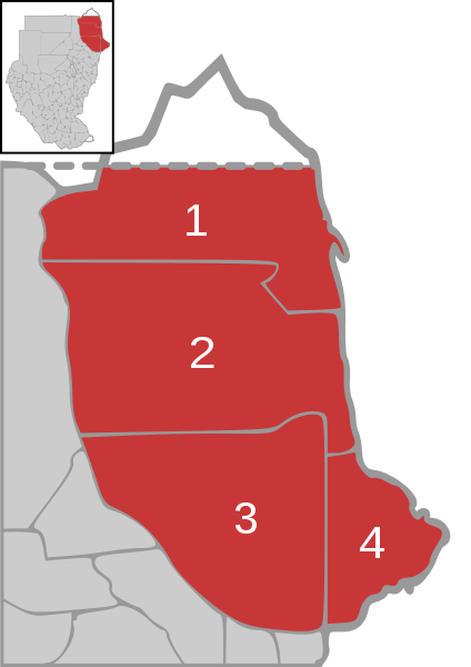
| Description | Map of Red Sea state in Sudan with district overview | ||
| Date | |||
| Source | own work, based on Image:Sudan district map.svg | ||
| Author | de:user:Sven-steffen arndt | ||
| Permission (Reusing this file) |
|
File history
Click on a date/time to view the file as it appeared at that time.
| Date/Time | Thumbnail | Dimensions | User | Comment | |
|---|---|---|---|---|---|
| current | 13:04, 25 December 2006 | | 744 × 1,052 (64 KB) | Sven-steffen arndt | {{Information |Description=Map of Red Sea state in Sudan with district overview |Source=own work, based on Image:Sudan district map.svg |Date=25. December 2006 |Author=de:user:Sven-steffen arndt |Permission={{PD-self}} |other_versions= }} [[Cat |
File usage
The following pages on the English Wikipedia use this file (pages on other projects are not listed):
Global file usage
The following other wikis use this file:
- Usage on ar.wikipedia.org
- Usage on de.wikipedia.org
- Usage on eo.wikipedia.org
- Usage on fa.wikipedia.org
- Usage on it.wikipedia.org
- Usage on pt.wikipedia.org
- Usage on ro.wikipedia.org
- Usage on ru.wikipedia.org
- Usage on uk.wikipedia.org
- Usage on zu.wikipedia.org