
Size of this preview: 800 × 600 pixels. Other resolutions: 320 × 240 pixels | 640 × 480 pixels | 1,024 × 768 pixels | 1,280 × 960 pixels | 2,560 × 1,920 pixels | 2,816 × 2,112 pixels.
Original file (2,816 × 2,112 pixels, file size: 5.44 MB, MIME type: image/png)
Summary edit
| Description |
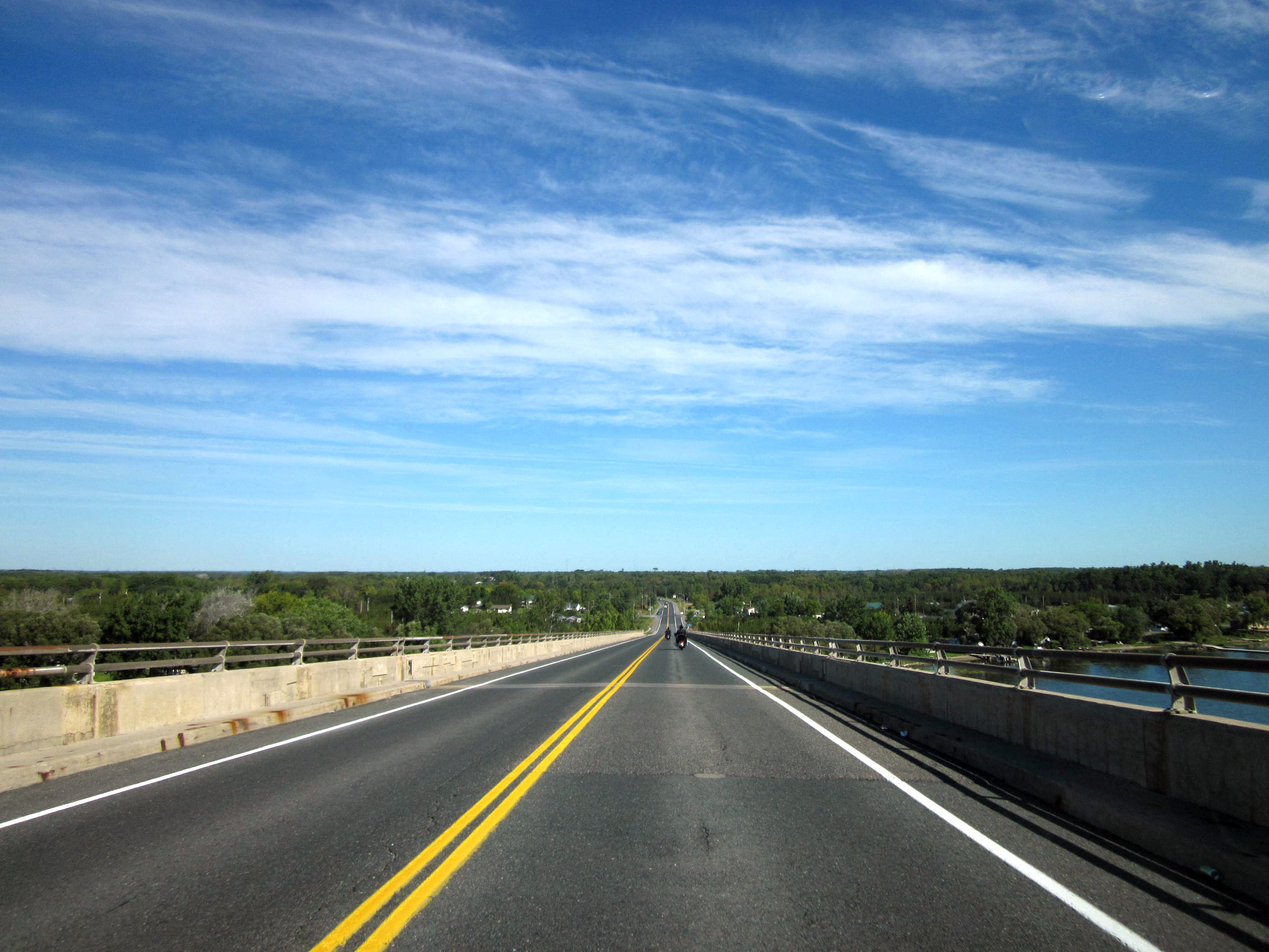
Ontario Highway 49 as it descends the Quite Skyway into Hastings County. |
|---|---|
| Source |
King's Highway 49; colour corrections in Irfanview 4.28 |
| Date |
September 11, 2011 |
| Author | |
| Permission (Reusing this file) |
See below.
|
| The uploader or another editor requests that a local copy of this file be kept. This image or media file may be available on the Wikimedia Commons as File:49 Quinte Skyway.png. While the license of this file may be compliant with the Wikimedia Commons, an editor has requested that the local copy be kept too. This file does not meet CSD F8 and should not be tagged as a Commons duplicate. If you desire to nominate it for deletion, notify the tagging editor. |
Licensing edit
| This work is licensed under the Creative Commons Attribution-ShareAlike 3.0 License. |
File history
Click on a date/time to view the file as it appeared at that time.
| Date/Time | Thumbnail | Dimensions | User | Comment | |
|---|---|---|---|---|---|
| current | 21:21, 25 October 2011 | | 2,816 × 2,112 (5.44 MB) | Floydian (talk | contribs) | {{Information |Description=Ontario Highway 49 as it descends the Quite Skyway into Hastings County. |Source=[http://www.flickr.com/photos/dougtone/6170970542/in/set-72157627723866788/ King's Highway 49]; colour corrections in Irfanview 4.28 |D |
You cannot overwrite this file.
File usage
The following file is a duplicate of this file (more details):
- File:49 Quinte Skyway.png from Commons
The following pages on the English Wikipedia use this file (pages on other projects are not listed):