Size of this preview: 800 × 530 pixels. Other resolutions: 320 × 212 pixels | 640 × 424 pixels | 1,024 × 678 pixels | 1,280 × 848 pixels | 2,560 × 1,696 pixels | 4,928 × 3,264 pixels.
Original file (4,928 × 3,264 pixels, file size: 4.87 MB, MIME type: image/jpeg)
| This is a file from the Wikimedia Commons. Information from its description page there is shown below. Commons is a freely licensed media file repository. You can help. |
Summary
| Camera location | | View this and other nearby images on: OpenStreetMap |
|---|
| Description |
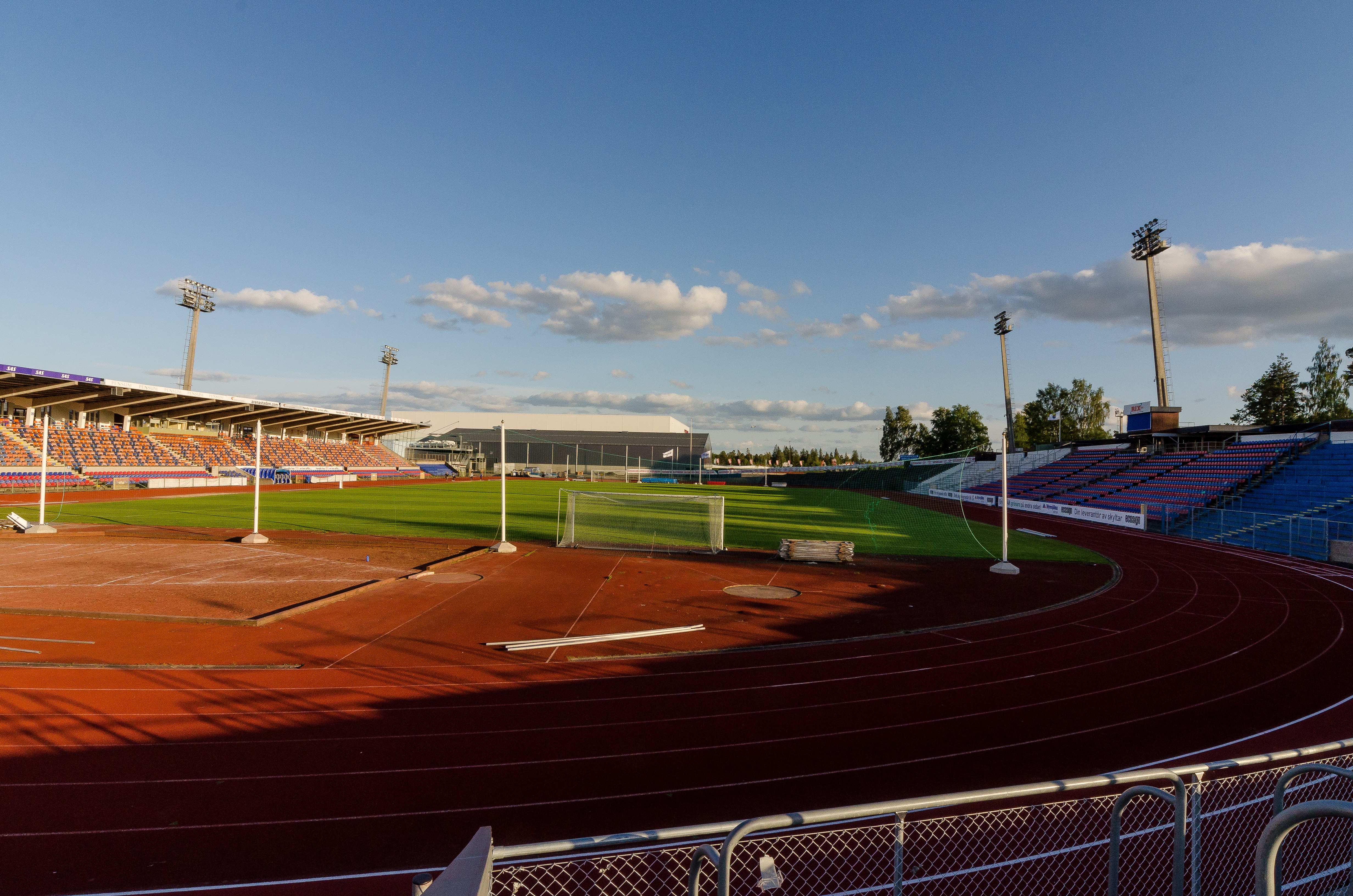
Svenska: Värendsvallen, huvudsaklig fotbollsarena i Växjö från 1966 till september 2012, från en placering på den numera oftast avstängda norra kortsidan. Mitt i bild bortom planen syns VIDA Arena. |
| Date | |
| Source | Own work |
| Author | Pechblaende |
Licensing
I, the copyright holder of this work, hereby publish it under the following license:
This file is licensed under the Creative Commons Attribution-Share Alike 3.0 Unported license.
- You are free:
- to share – to copy, distribute and transmit the work
- to remix – to adapt the work
- Under the following conditions:
- attribution – You must give appropriate credit, provide a link to the license, and indicate if changes were made. You may do so in any reasonable manner, but not in any way that suggests the licensor endorses you or your use.
- share alike – If you remix, transform, or build upon the material, you must distribute your contributions under the same or compatible license as the original.
File history
Click on a date/time to view the file as it appeared at that time.
| Date/Time | Thumbnail | Dimensions | User | Comment | |
|---|---|---|---|---|---|
| current | 17:46, 10 June 2012 | | 4,928 × 3,264 (4.87 MB) | Pechblaende |
File usage
The following pages on the English Wikipedia use this file (pages on other projects are not listed):
Global file usage
The following other wikis use this file:
- Usage on de.wikipedia.org
- Usage on es.wikipedia.org
- Usage on nl.wikipedia.org
- Usage on pl.wikipedia.org
- Usage on sv.wikipedia.org
- Usage on uk.wikipedia.org